
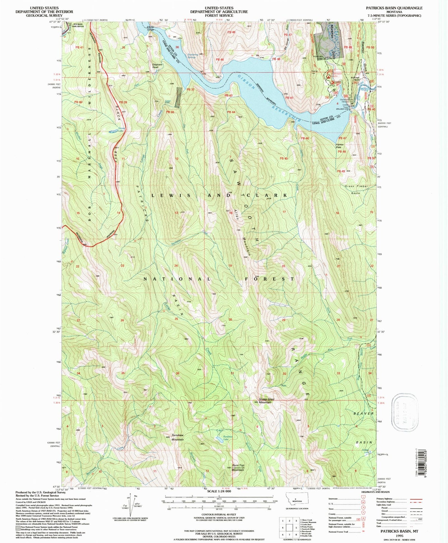
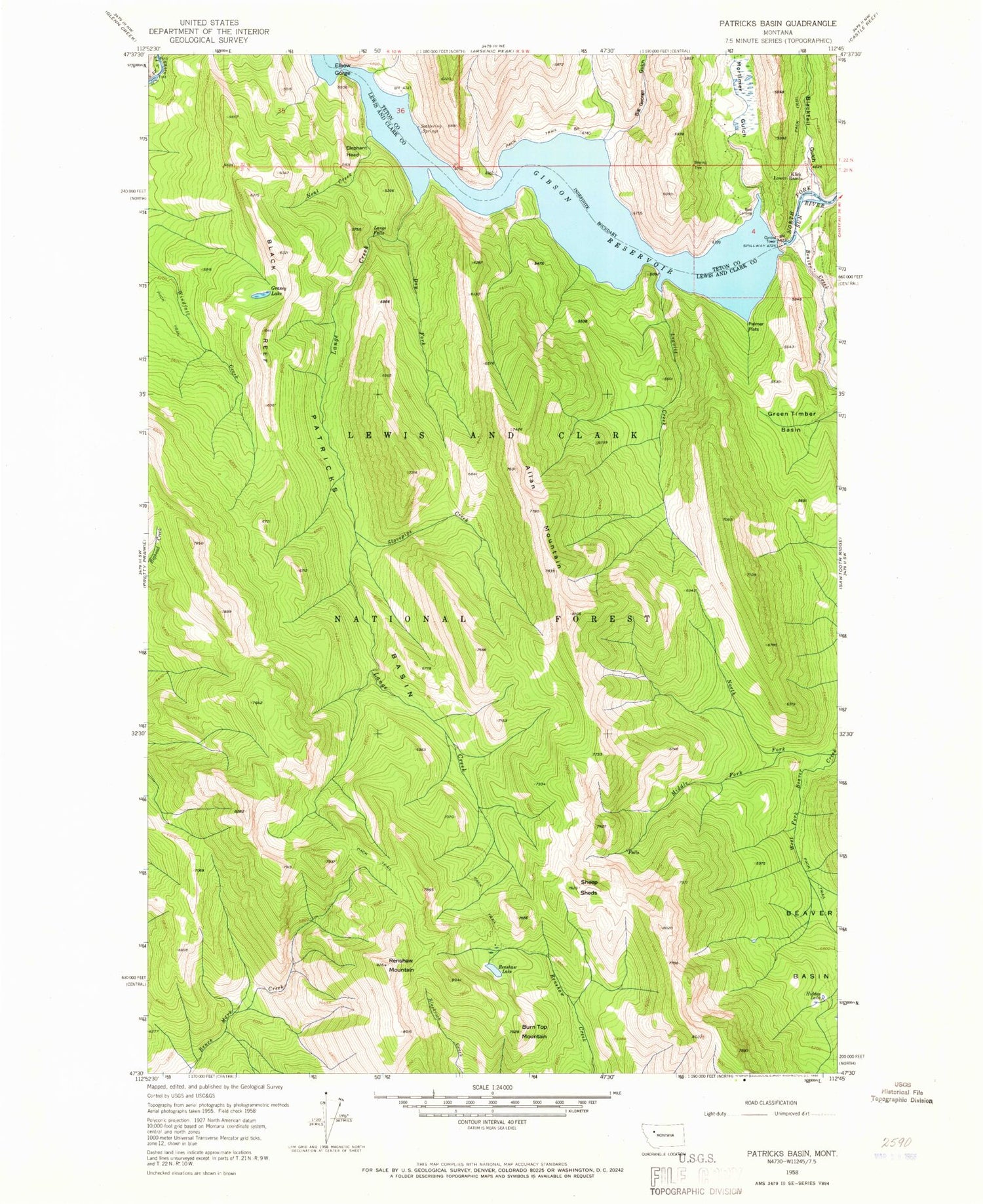
MyTopo
Classic USGS Patricks Basin Montana 7.5'x7.5' Topo Map
Couldn't load pickup availability
Historical USGS topographic quad map of Patricks Basin in the state of Montana. Typical map scale is 1:24,000, but may vary for certain years, if available. Print size: 24" x 27"
This quadrangle is in the following counties: Lewis and Clark, Teton.
The map contains contour lines, roads, rivers, towns, and lakes. Printed on high-quality waterproof paper with UV fade-resistant inks, and shipped rolled.
Contains the following named places: Big George Gulch, Blacktail Gulch, Klick Lower Ranch, Mortimer Gulch, Scattering Springs, Lange Falls, Gibson Lake Lodge, Mortimer Gulch Campground, Gibson Overlook, Gibson Dam, Gibson Reservoir, Mortimer Gulch Trailhead, Allan Mountain, Beaver Basin, Beaver Creek, Black Reef, Burn Top Mountain, Dry Fork, Elbow Gorge, Elephant Head, Gibson Reservoir, Grassy Lake, Green Timber Basin, Hidden Lake, Lange Creek, Leavitt Creek, Middle Fork Beaver Creek, Neal Creek, North Fork Beaver Creek, North Fork Sun River, Palmer Flats, Patricks Basin, Renshaw Lake, Renshaw Mountain, Sheep Sheds, Stovepipe Creek, West Fork Beaver Creek


