MyTopo
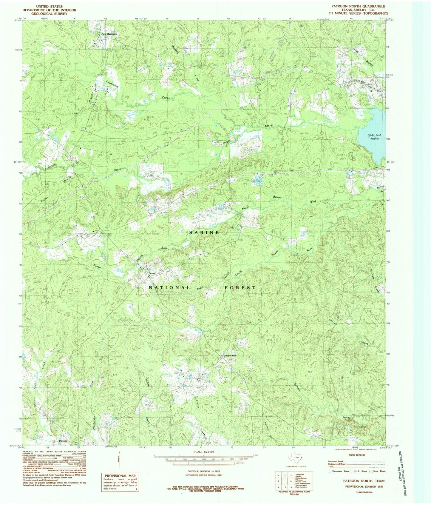
Classic USGS Patroon North Texas 7.5'x7.5' Topo Map
Couldn't load pickup availability
Historical USGS topographic quad map of Patroon North in the state of Texas. Map scale may vary for some years, but is generally around 1:24,000. Print size is approximately 24" x 27"
This quadrangle is in the following counties: Shelby.
The map contains contour lines, roads, rivers, towns, and lakes. Printed on high-quality waterproof paper with UV fade-resistant inks, and shipped rolled.
Contains the following named places: Bayou Siep, Chambers Creek, Dreka, Dreka Work Center, Dry Fork, East Hamilton Cemetery, Goober Hill, Holly Springs Cemetery, Jordans Store, Latham Cemetery, Lick Branch, Lone Star Church, Mustang Creek, New Harmon Church, New Harmony, North Bayou Blue, Pettit Branch, Ragtown, Sabine National Forest Trail, Shelbyville Division, South Bayou Blue, Strong School, Triumph Church, Tucker Branch, Welchs Store, West Hamilton, West Hamilton Church, ZIP Code: 75973


