MyTopo
Classic USGS Pats Bottom Wyoming 7.5'x7.5' Topo Map
Regular price
$16.95
Regular price
Sale price
$16.95
Unit price
per
Couldn't load pickup availability
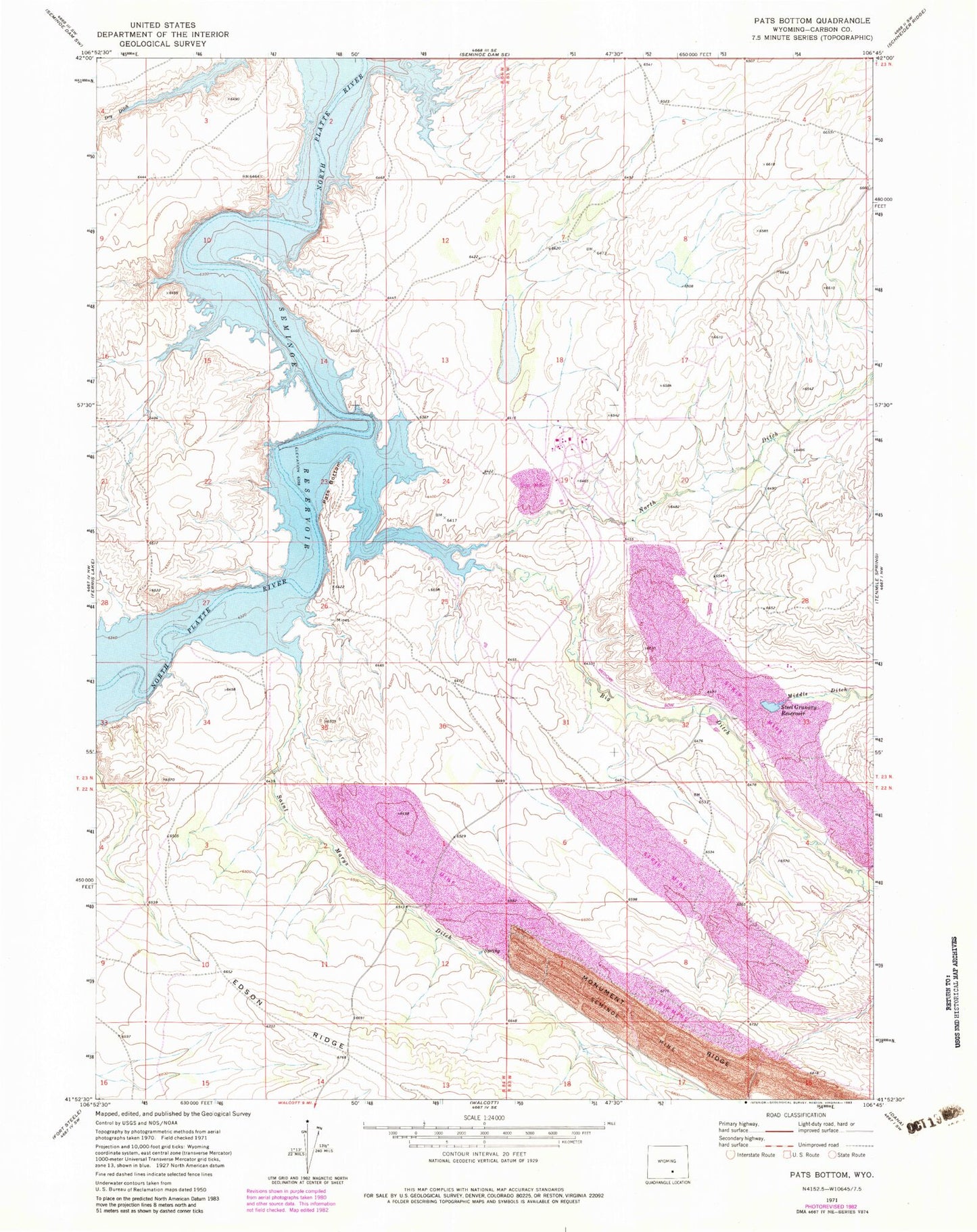
Historical USGS topographic quad map of Pats Bottom in the state of Wyoming. Map scale may vary for some years, but is generally around 1:24,000. Print size is approximately 24" x 27"
This quadrangle is in the following counties: Carbon.
The map contains contour lines, roads, rivers, towns, and lakes. Printed on high-quality waterproof paper with UV fade-resistant inks, and shipped rolled.
Contains the following named places: Big Ditch, Crane Mine, Dry Ditch, Medicine Bow Coal Company Mine, Medicine Bow Strip Mine, Middle Ditch, Monument Ridge, North Ditch, Pats Bottom, Saint Marys Ditch, Steel Granary Reservoir