MyTopo
Classic USGS Pats Creek Idaho 7.5'x7.5' Topo Map
Regular price
$16.95
Regular price
Sale price
$16.95
Unit price
per
Couldn't load pickup availability
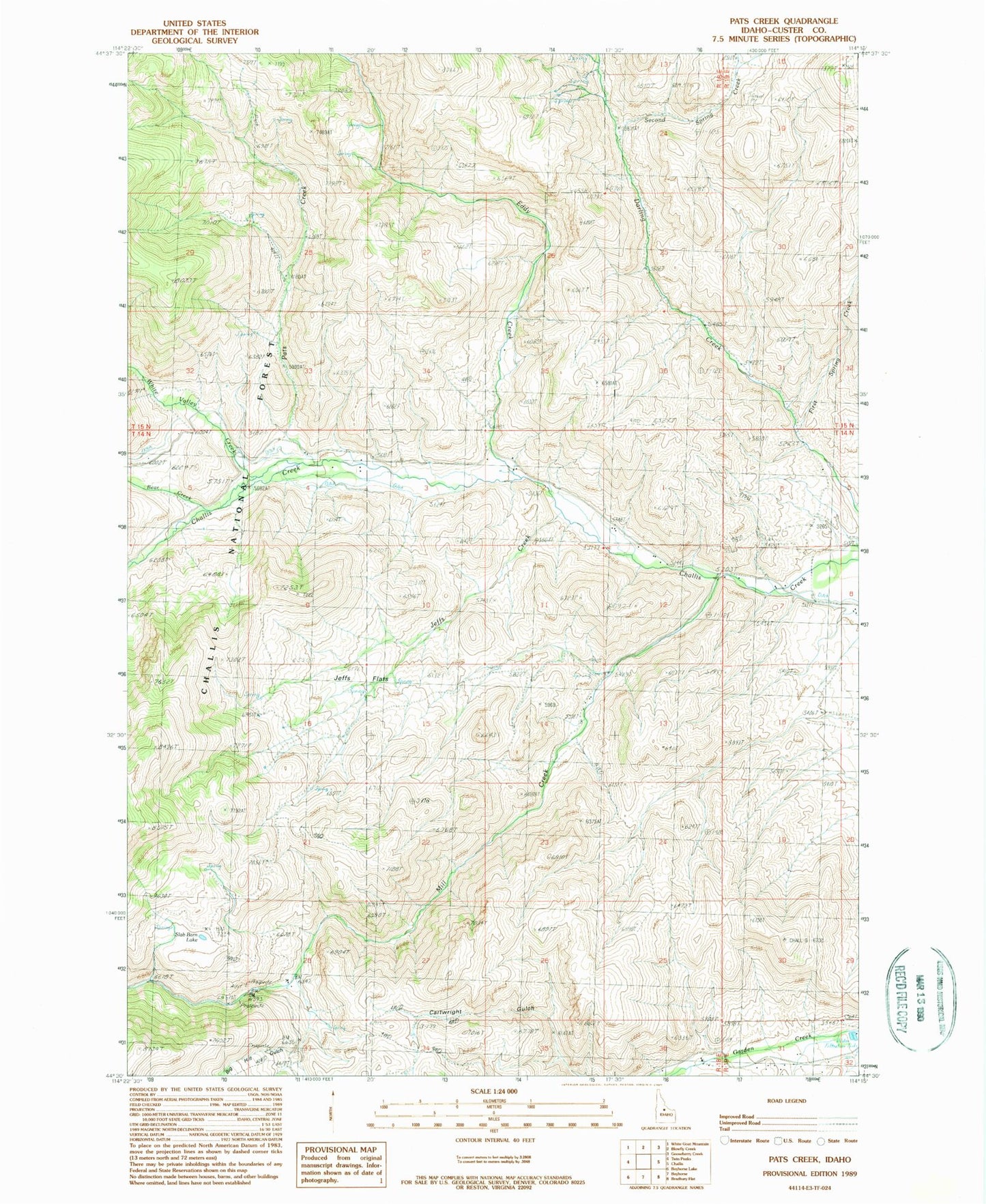
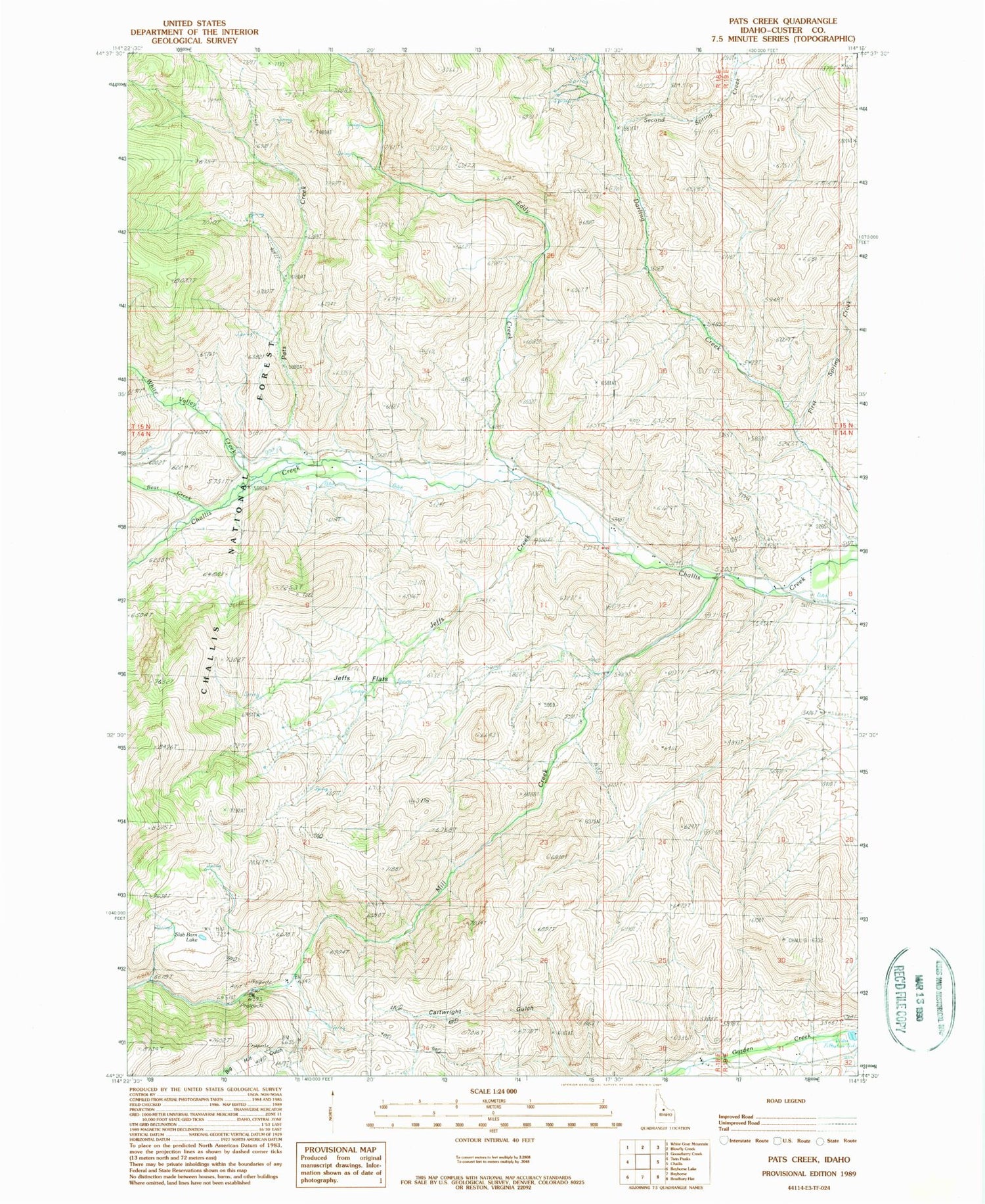
Historical USGS topographic quad map of Pats Creek in the state of Idaho. Map scale may vary for some years, but is generally around 1:24,000. Print size is approximately 24" x 27"
This quadrangle is in the following counties: Custer.
The map contains contour lines, roads, rivers, towns, and lakes. Printed on high-quality waterproof paper with UV fade-resistant inks, and shipped rolled.
Contains the following named places: Bear Creek, Big Hill Gulch, Eddy Creek, First Spring Creek, Jeffs Creek, Jeffs Flats, Mill Creek, Pats Creek, Second Spring Creek, Slab Barn Lake, Transfer Camp, White Valley Creek