MyTopo
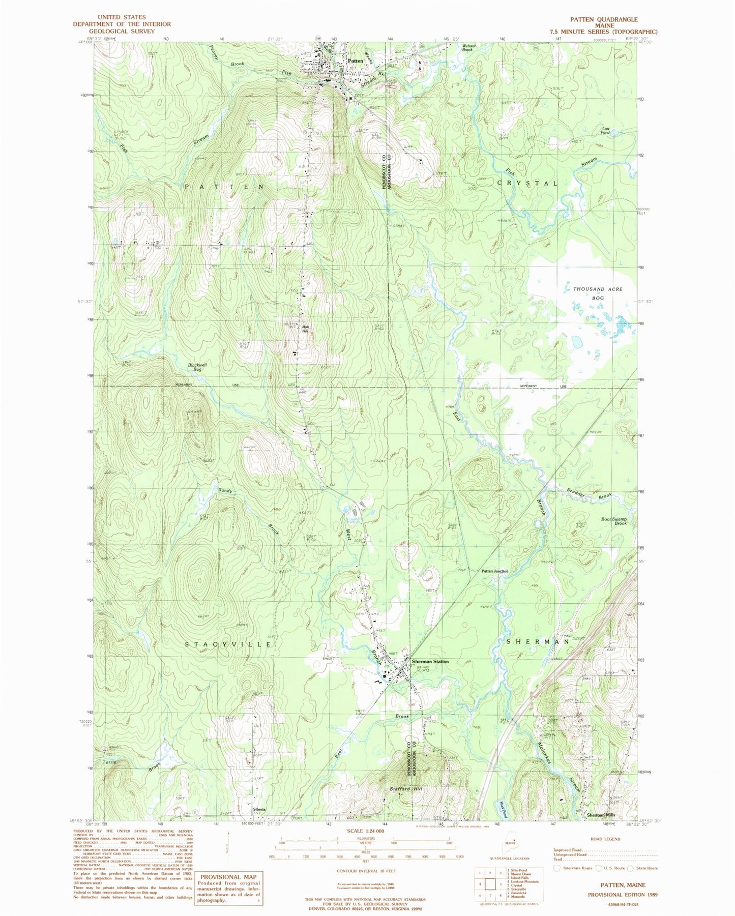
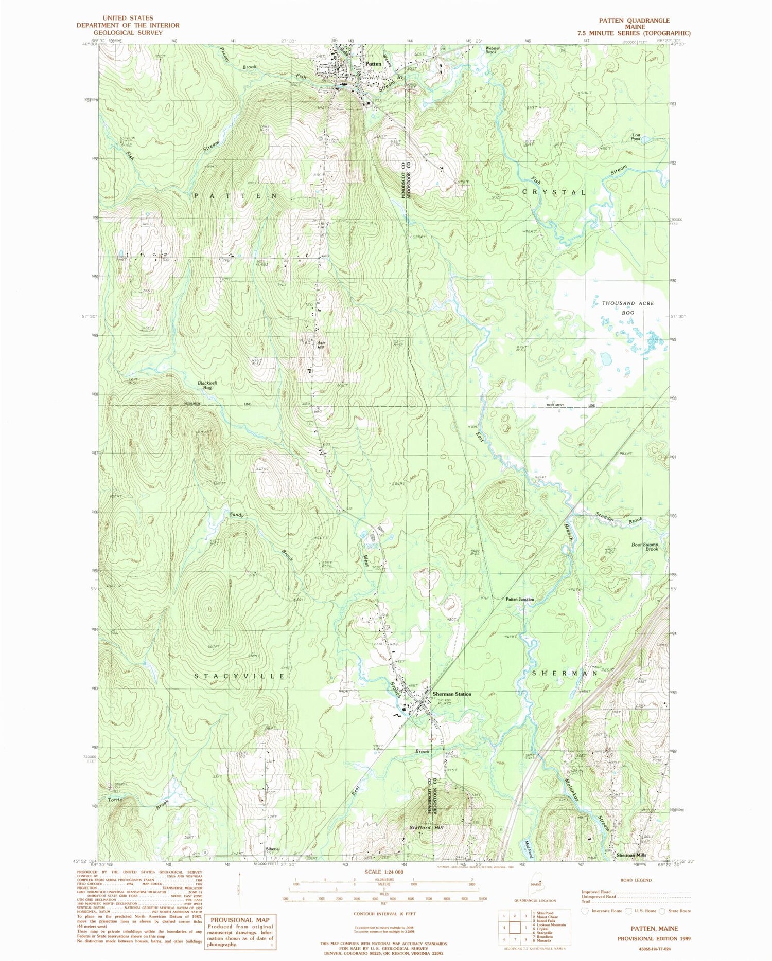
Classic USGS Patten Maine 7.5'x7.5' Topo Map
Couldn't load pickup availability
Historical USGS topographic quad map of Patten in the state of Maine. Map scale may vary for some years, but is generally around 1:24,000. Print size is approximately 24" x 27"
This quadrangle is in the following counties: Aroostook, Penobscot.
The map contains contour lines, roads, rivers, towns, and lakes. Printed on high-quality waterproof paper with UV fade-resistant inks, and shipped rolled.
Contains the following named places: Ash Hill, Bear Brook, Blackwell Bog, Boot Swamp Brook, Caldwell Brook, Calvary Baptist Church, East Branch Molunkus Stream, Katahdin Elementary School, Katahdin Junior High School, Katahdin Middle / High School, Lost Pond, Mud Pond, Patten, Patten Ambulance Service, Patten Fire Department, Patten Grammar School, Patten Junction, Patten Post Office, Patten Primary School, Patten United Methodist Church, Peavey Brook, Sandy Brook, Scudder Brook, Sherman Mills Cemetery, Sherman Station, Siberia, South Patten School, Stacyville Elementary School, Stacyville Post Office, Stacyville Volunteer Fire Department, Stafford Hill, Thousand Acre Bog, Town of Patten, Town of Stacyville, Veterans Memorial Library, Webb Brook, Webster Brook, Weeks Brook, West Branch Molunkus Stream, Wheelabrator-Sherman Heliport