MyTopo
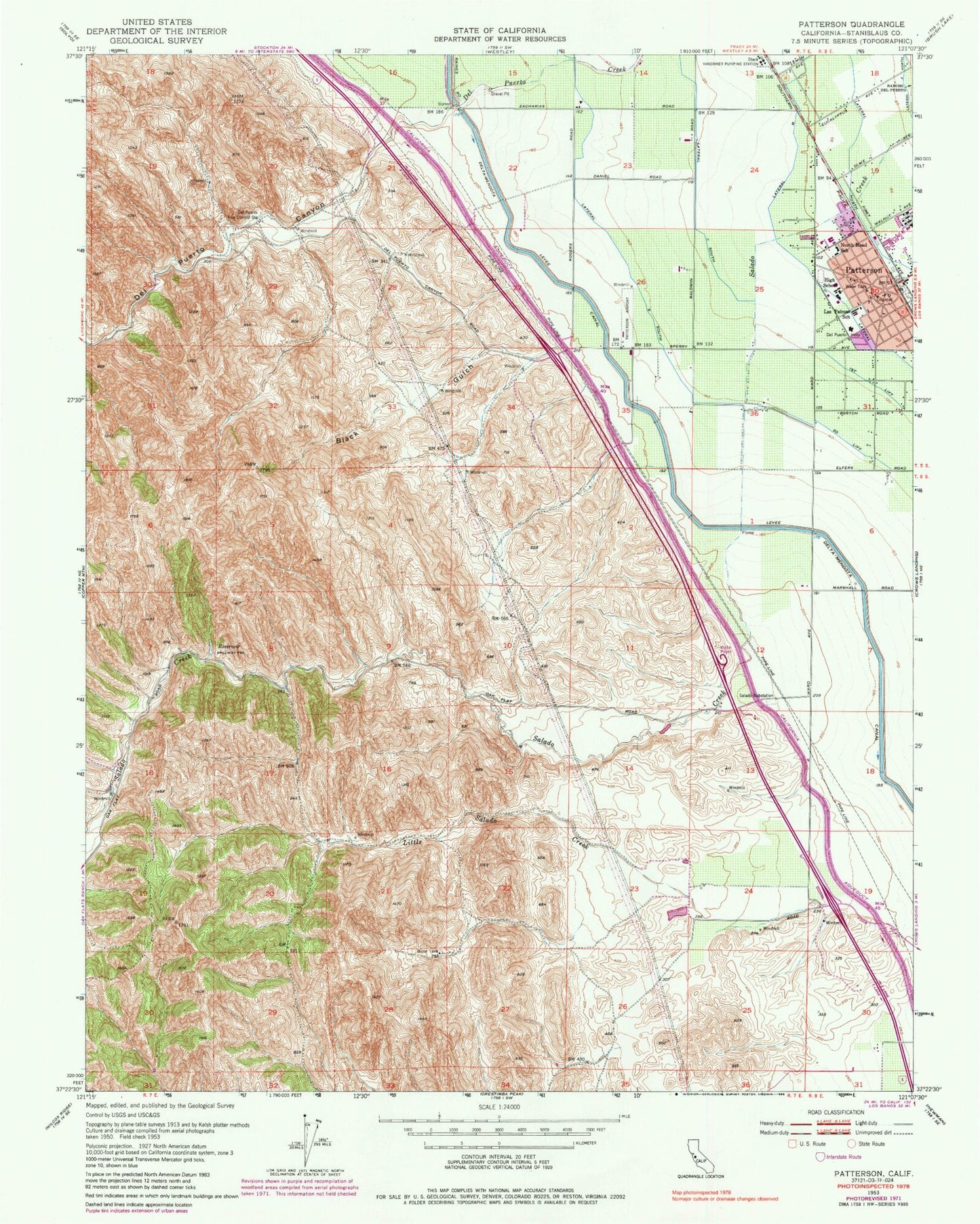
Classic USGS Patterson California 7.5'x7.5' Topo Map
Couldn't load pickup availability
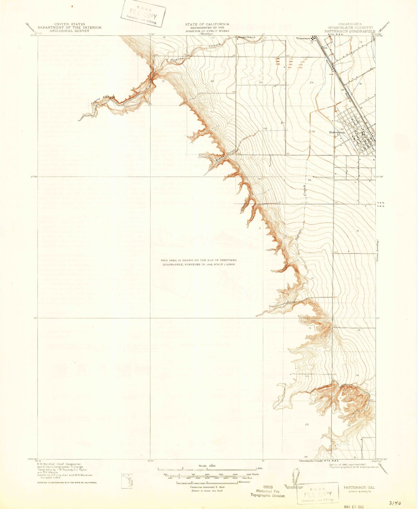
Historical USGS topographic quad map of Patterson in the state of California. Map scale may vary for some years, but is generally around 1:24,000. Print size is approximately 24" x 27"
This quadrangle is in the following counties: Stanislaus.
The map contains contour lines, roads, rivers, towns, and lakes. Printed on high-quality waterproof paper with UV fade-resistant inks, and shipped rolled.
Contains the following named places: Beltran Farms, Black Gulch, City of Patterson, Del Puerto Canyon, Del Puerto Fire Control Station, Del Puerto Health Care District Patterson Ambulance, Del Puerto High School, Del Puerto Hospital, Department of Forestry and Fire Protection Station 15 Del Puerto, Evangelical Covenant Church, Federated Methodist-Presbyterian Church, Felipe Garza Park, Fink Road Landfill, First Assembly of God Church, First Baptist Church, First Lift, Haight School, Las Palmas Elementary School, Lateral Five South, Lateral Four North, Lateral M, Lateral Six South, Lateral Three North, North Park, Northmead Elementary School, Our Saviours Lutheran Church, Patterson, Patterson Airport, Patterson Branch Stanislaus County Free Library, Patterson City Hall, Patterson Community Stadium, Patterson High School, Patterson Junior High School, Patterson Police Department, Patterson Post Office, Sacred Heart Catholic Church, Sacred Heart Catholic School, Salado Substation, Second Lift, South Park, The Center Building, Vanormer, Vanormer Pumping Station, West Stanislaus County Fire Protection District Headquarters, West Stanislaus County Fire Protection District Patterson Station 2, West Stanislaus Fire Protection District Patterson Station 1, ZIP Code: 95363