MyTopo
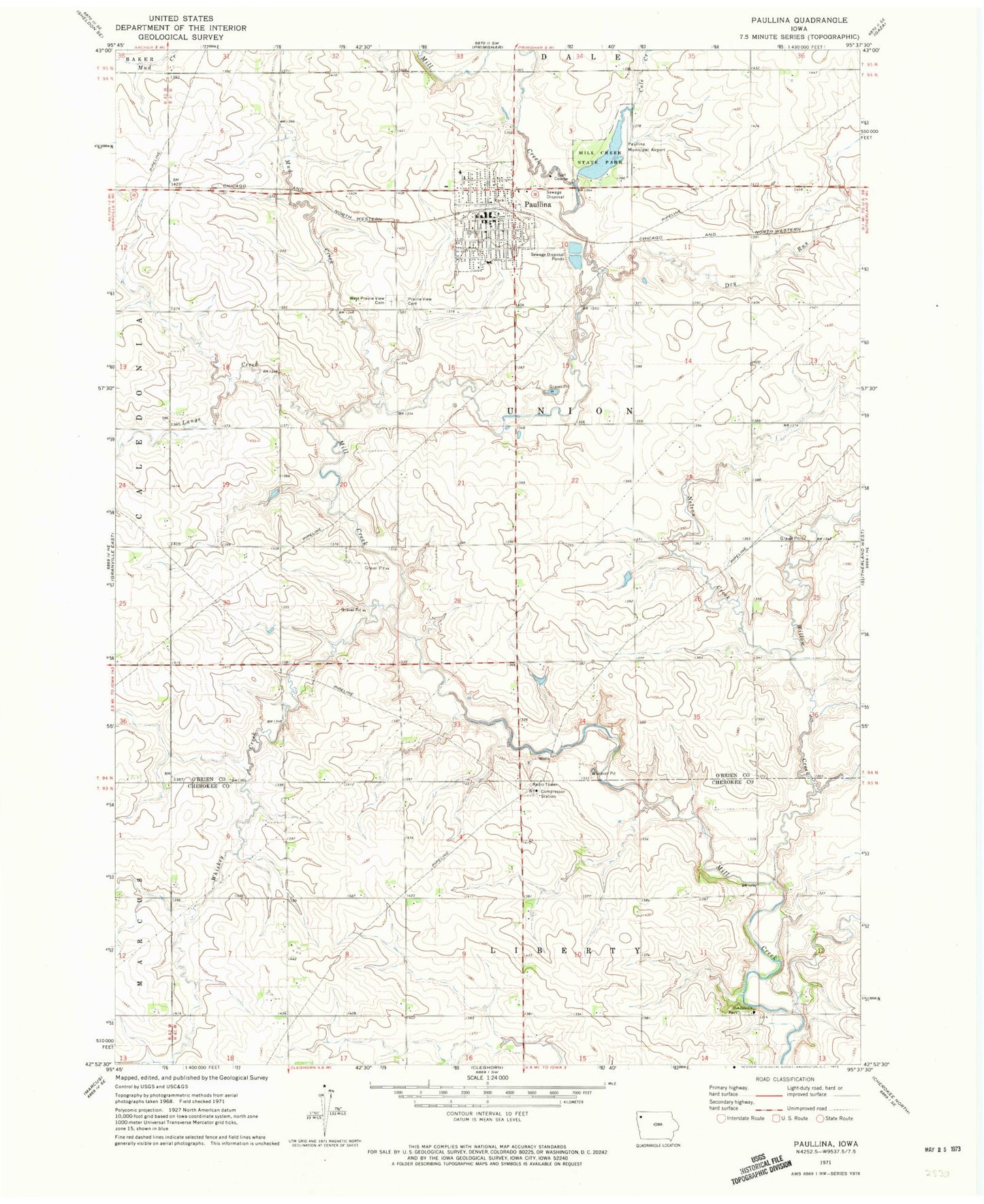
Classic USGS Paullina Iowa 7.5'x7.5' Topo Map
Couldn't load pickup availability
Historical USGS topographic quad map of Paullina in the state of Iowa. Map scale may vary for some years, but is generally around 1:24,000. Print size is approximately 24" x 27"
This quadrangle is in the following counties: Cherokee, O'Brien.
The map contains contour lines, roads, rivers, towns, and lakes. Printed on high-quality waterproof paper with UV fade-resistant inks, and shipped rolled.
Contains the following named places: Appeldorn Farms, B B J Farms, Barje Farm, City of Paullina, Clover Creek Farms, Cole Creek, Dry Run, Eyecare Center, Goosen Farms, Kenla Farms, Lange Creek, Legion Country Club, Mill Creek Family Practice, Mill Creek Grain Incorporated Elevator, Mill Creek State Park, Mud Creek, Nelson Creek, Oakdale Church, Paullina, Paullina Chiropractic Center, Paullina Family Medical Clinic, Paullina Fire Department, Paullina Municipal Airport, Paullina Post Office, Paullina Public Llibrary, Pine Grove Farms, Prairie View Cemetery, Railroad Area, Ronda Farms, Rose Pork Farms, Semper Fi Farms, Siloam Lutheran Church, South O'Brien Junior High and High School, Township of Union, Wallin Farm, West Prairie View Cemetery, Whiskey Creek, Wide View Rest Home, Willow Creek, Zion - Saint John Lutheran School, Zion Lutheran Church, ZIP Code: 51046


