MyTopo
Classic USGS Paulsell California 7.5'x7.5' Topo Map
Couldn't load pickup availability
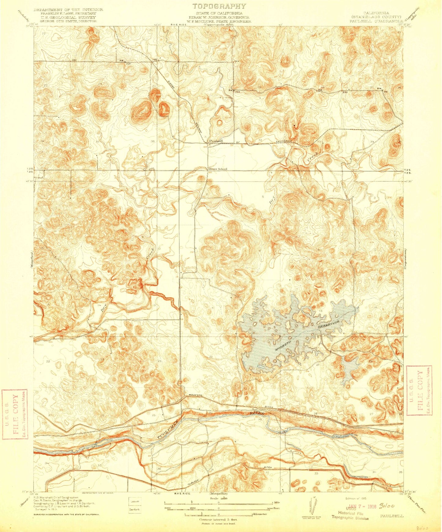
Historical USGS topographic quad map of Paulsell in the state of California. Map scale may vary for some years, but is generally around 1:24,000. Print size is approximately 24" x 27"
This quadrangle is in the following counties: Stanislaus.
The map contains contour lines, roads, rivers, towns, and lakes. Printed on high-quality waterproof paper with UV fade-resistant inks, and shipped rolled.
Contains the following named places: Big Bear Park, Cashman Creek, Dan Casey Slough, Horrs School, J and B Farms, Ketcham Slough, KTRB-AM (Modesto), Lateral Number Eight, Lateral Number Three, Lateral Number Three-B, Lateral Number Two, Modesto Main Canal, Modesto Reservoir, Modesto Reservoir 59-000 Dam, Paulsell, Paulsell Extension, Paulsell Lateral, Roberts Ferry Cemetery, Turlock Main Canal, Waterford Division, Waterford Lower Main Canal, Waterford Pit, ZIP Code: 95386