MyTopo
Classic USGS Pawhuska Oklahoma 7.5'x7.5' Topo Map
Couldn't load pickup availability
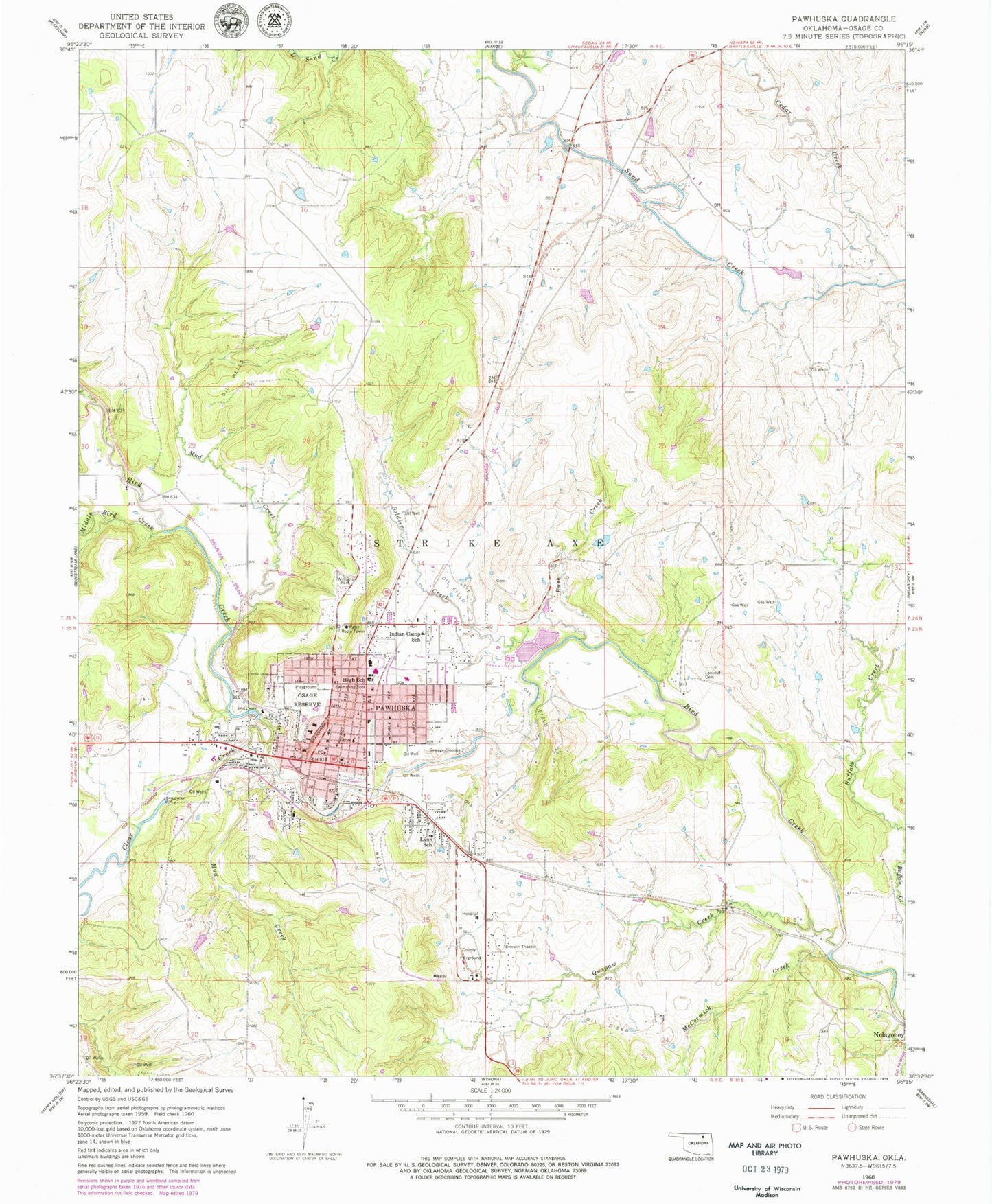
Historical USGS topographic quad map of Pawhuska in the state of Oklahoma. Map scale may vary for some years, but is generally around 1:24,000. Print size is approximately 24" x 27"
This quadrangle is in the following counties: Osage.
The map contains contour lines, roads, rivers, towns, and lakes. Printed on high-quality waterproof paper with UV fade-resistant inks, and shipped rolled.
Contains the following named places: Bureau of Indian Affairs Fire Department, Catholic Rectory, Cedar Creek, Central Med Emergency Medical Services Pawhuska, City of Pawhuska, Clear Creek, Emmanuel Church of God-Christ, First Baptist Church, First Christian Church, First Presbyterian Church, First United Methodist Church, Indian Camp Elementary School, KMYB-FM (Pawhuska), KXVQ-AM (Pawhuska), Lighthouse Pentecostal Church, Lookout Cemetery, Lynn School, McCormick Creek, Middle Bird Creek, Mud Creek, Oknoname 113029 Dam, Oknoname 113029 Reservoir, Oknoname 113030 Dam, Oknoname 113030 Reservoir, Oknoname 113031 Dam, Oknoname 113031 Reservoir, Oknoname 113110 Dam, Oknoname 113110 Reservoir, Oknoname 113111 Dam, Osage County Jail, Osage County Sheriff's Office, Osage Nation Police Department, Osage Ranch Fire Department, Osage Reserve, Pawhuska, Pawhuska City Cemetery, Pawhuska Elementary School, Pawhuska Fire Department, Pawhuska Heliport, Pawhuska High School, Pawhuska Hospital, Pawhuska Junior High School, Pawhuska Police Department, Pawhuska Post Office, Quapaw Creek, Rush Creek, Saint Thomas Episcopal Church, Soldier Creek, Strikeaxe Cemetery, The Church of Jesus Christ of Latter Day Saints, Williams Park


