MyTopo
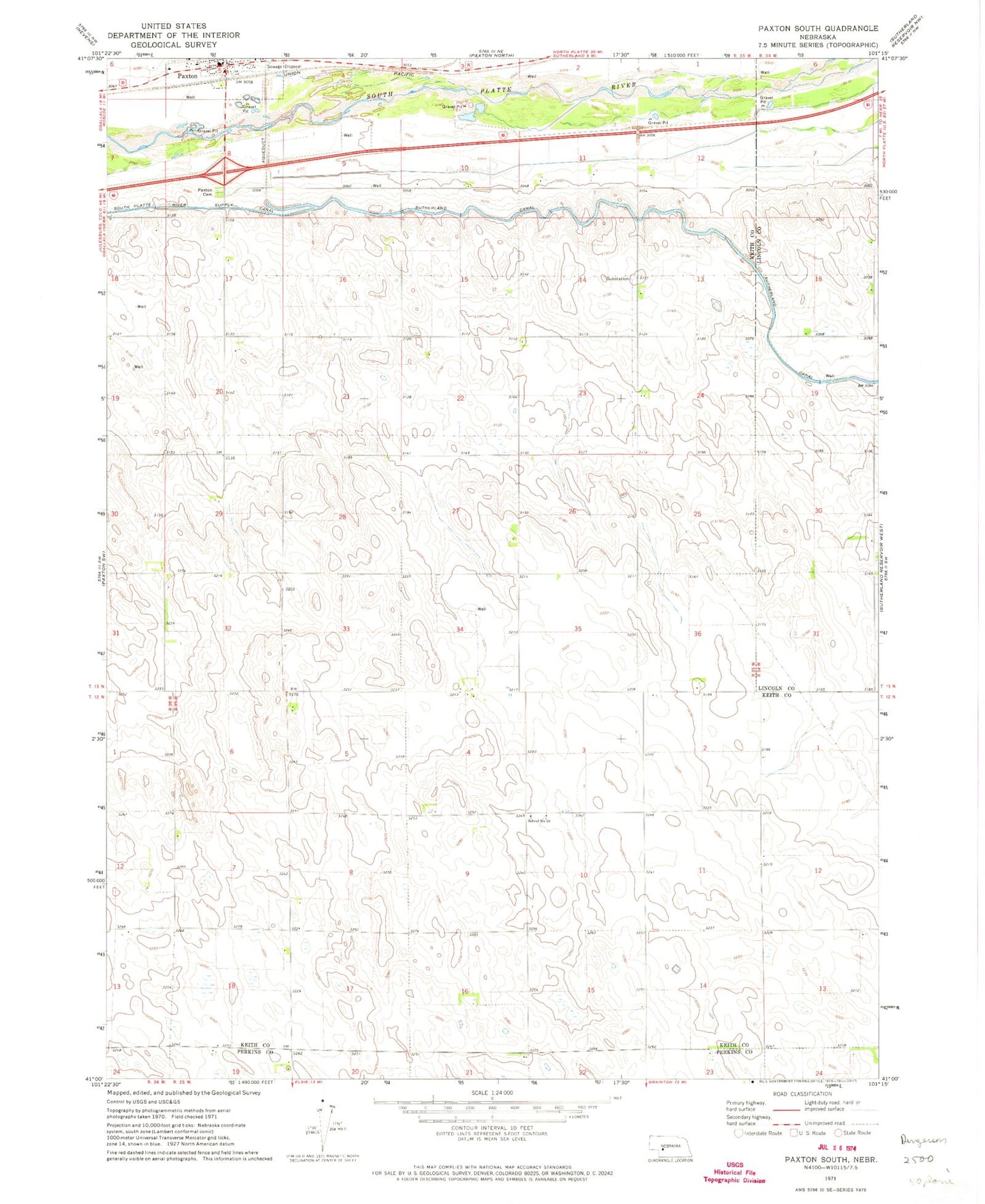
Classic USGS Paxton South Nebraska 7.5'x7.5' Topo Map
Regular price
$16.95
Regular price
Sale price
$16.95
Unit price
per
Couldn't load pickup availability
Historical USGS topographic quad map of Paxton South in the state of Nebraska. Map scale may vary for some years, but is generally around 1:24,000. Print size is approximately 24" x 27"
This quadrangle is in the following counties: Keith, Lincoln, Perkins.
The map contains contour lines, roads, rivers, towns, and lakes. Printed on high-quality waterproof paper with UV fade-resistant inks, and shipped rolled.
Contains the following named places: KOGA-FM (Ogallala), Lierley Farms Airport, Oles Lodge RV Park, Paxton, Paxton Cemetery, Paxton Police Department, Paxton Post Office, Paxton Public Library, Paxton Volunteer Fire and Rescue, School Number 16, Village of Paxton