MyTopo
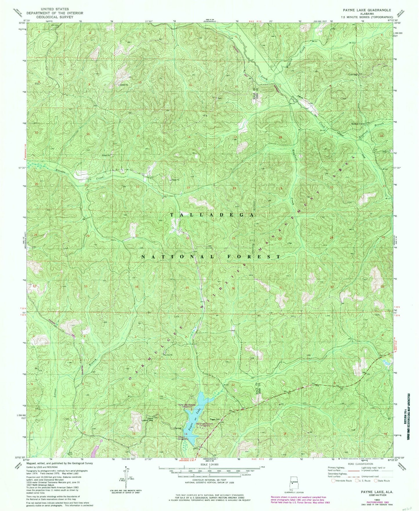
Classic USGS Payne Lake Alabama 7.5'x7.5' Topo Map
Couldn't load pickup availability
Historical USGS topographic quad map of Payne Lake in the state of Alabama. Typical map scale is 1:24,000, but may vary for certain years, if available. Print size: 24" x 27"
This quadrangle is in the following counties: Bibb, Hale.
The map contains contour lines, roads, rivers, towns, and lakes. Printed on high-quality waterproof paper with UV fade-resistant inks, and shipped rolled.
Contains the following named places: Payne Lake Dam, Pine Flat Cemetery, Mertz, Camp Hugh, Payne Lake, Ragland Branch, Union Cemetery, Wiggins Creek, Keeton Corner, Low Gap, South Sandy Hunter Camp, Union Missionary Baptist Church, Coley School (historical), Elliots Creek Work Center, Lanters (historical), Oakmulgee Wildlife Management Area, Payne Lake Eastside Campground, Payne Lake Westside Campground, Payne Lookout Tower, Pine Flat Church, Pisgah Cemetery, Spillway Campground, Troublesome Branch, Grimes Cemetery, Union Cemetery, Reed Brake Research Natural Area, Payne Lake Recreation Area, Payne Lake Nature Trail