MyTopo
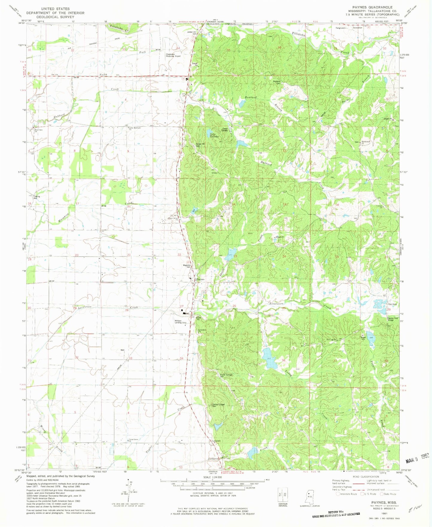
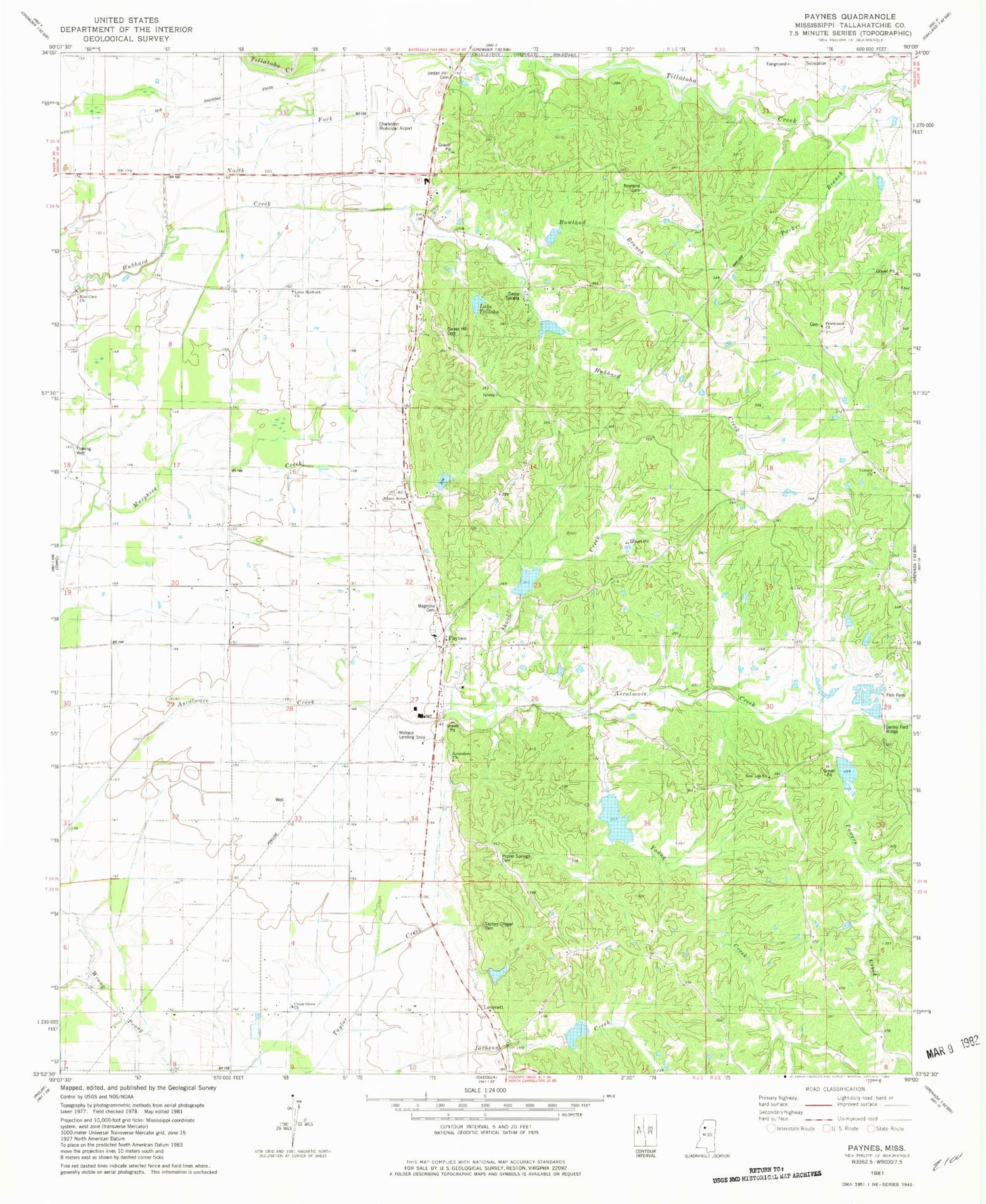
Classic USGS Paynes Mississippi 7.5'x7.5' Topo Map
Couldn't load pickup availability
Historical USGS topographic quad map of Paynes in the state of Mississippi. Map scale may vary for some years, but is generally around 1:24,000. Print size is approximately 24" x 27"
This quadrangle is in the following counties: Tallahatchie.
The map contains contour lines, roads, rivers, towns, and lakes. Printed on high-quality waterproof paper with UV fade-resistant inks, and shipped rolled.
Contains the following named places: Actman Catfish Ponds Dam, Adams Arbor Church of God Prophecy, Adams Arbor Church of God Prophecy Cemetery, Ascalmore Creek Structure Y-17a-11 Dam, Ascalmore Creek Structure Y-17a-2 Dam, Ascalmore Creek Structure Y-17a-5 Dam, Ascalmore Creek Structure Y-17a-71 Dam, Ascalmore Creek Structure Y-17a-72 Dam, Ascalmore Creek Structure Y-17a-73 Dam, Ascalmore Creek Structure Y-17a-76 Dam, Ascalmore Creek Structure YO-30-15 Dam, Ascalmore Creek Structure YO-30-3 Dam, Ascalmore Creek Structure YO-30-4 Dam, Ascalmore Watershed Y-17a-72 Dam, Blue Cane Church, Camp Talla Refuge, Carver Hill Cemetery, Charleston Municipal Airport, Church of God, Corinth Baptist Cemetery, Corinth Baptist Church, Corinth Cemetery, Gentry Ford Bridge, Hubbard Creek, Hunter Creek, James Lake Dam, Jerusalem Church, Jordan Hill Cemetery, Lake Tallaha, Leverett, Little Hubbard Church, Magnolia Cemetery, New Life Church, Parker Branch, Paynes, Paynes Church, Paynes Fire Department, Poplar Springs Cemetery, Powers Creek, Providence Church, Rocky Spring Church, Rowland Branch, Rowland Cemetery, Shook Creek, Taylors Chapel, Union Grove Church, Young Creek


