MyTopo
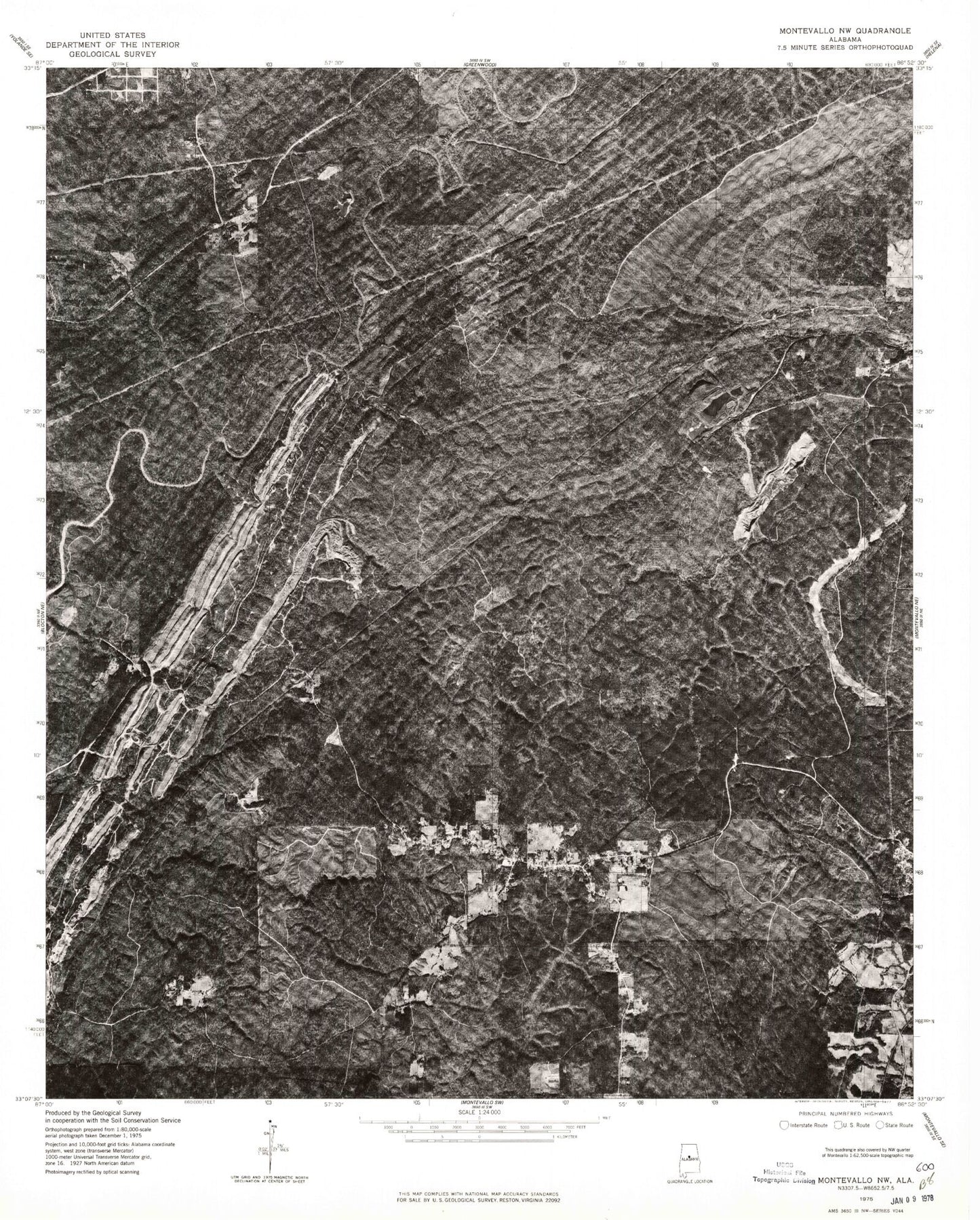
Classic USGS Pea Ridge Alabama 7.5'x7.5' Topo Map
Couldn't load pickup availability
Historical USGS topographic quad map of Pea Ridge in the state of Alabama. Map scale may vary for some years, but is generally around 1:24,000. Print size is approximately 24" x 27"
This quadrangle is in the following counties: Bibb, Jefferson, Shelby.
The map contains contour lines, roads, rivers, towns, and lakes. Printed on high-quality waterproof paper with UV fade-resistant inks, and shipped rolled.
Contains the following named places: Aden, Anita, Antioch Cemetery Number 2, Antioch Church, Barnes Mine, Bethel Church, Boothton, Boothton Cemetery, Boothton Mine, Boothton Station, Brantleyville Census Designated Place, Dogwood Church, Dogwood Mine, Dogwood Number 3 Mine, Eddings Town, Falling Rock, Garnsey Number 2, Gentry Springs, Gillispie Mine, Glade Branch, Glen Carbon, Glen Carbon Mine, Gurnee, Gurnee Junction, Gurnee Mine, Hancock Creek, Hurricane Creek, Jesse Creek, Lick Creek, Light of the Word Church, Lindseys Crossing, Linholm Cemetery, Macedonia Cemetery, Macedonia Church, Marvel Baptist Church, Mayberry Church, Mayberry Elementary School, Montevallo Division, Murry Creek, Pea Ridge, Pea Ridge Census Designated Place, Pea Ridge Church, Pea Ridge Volunteer Fire and Rescue Department, Peel Creek, Piney Woods Creek, Piney Woods Tank, Rajah Mine, Savage Creek Mine, Sawmill Town, Shaw Creek, Sieard Mine, Straven, Stravens Mine, Superior, The Christian Mission Church, Tulse, Turner, Ward Creek, Whalley Mine, ZIP Codes: 35114, 35115