MyTopo
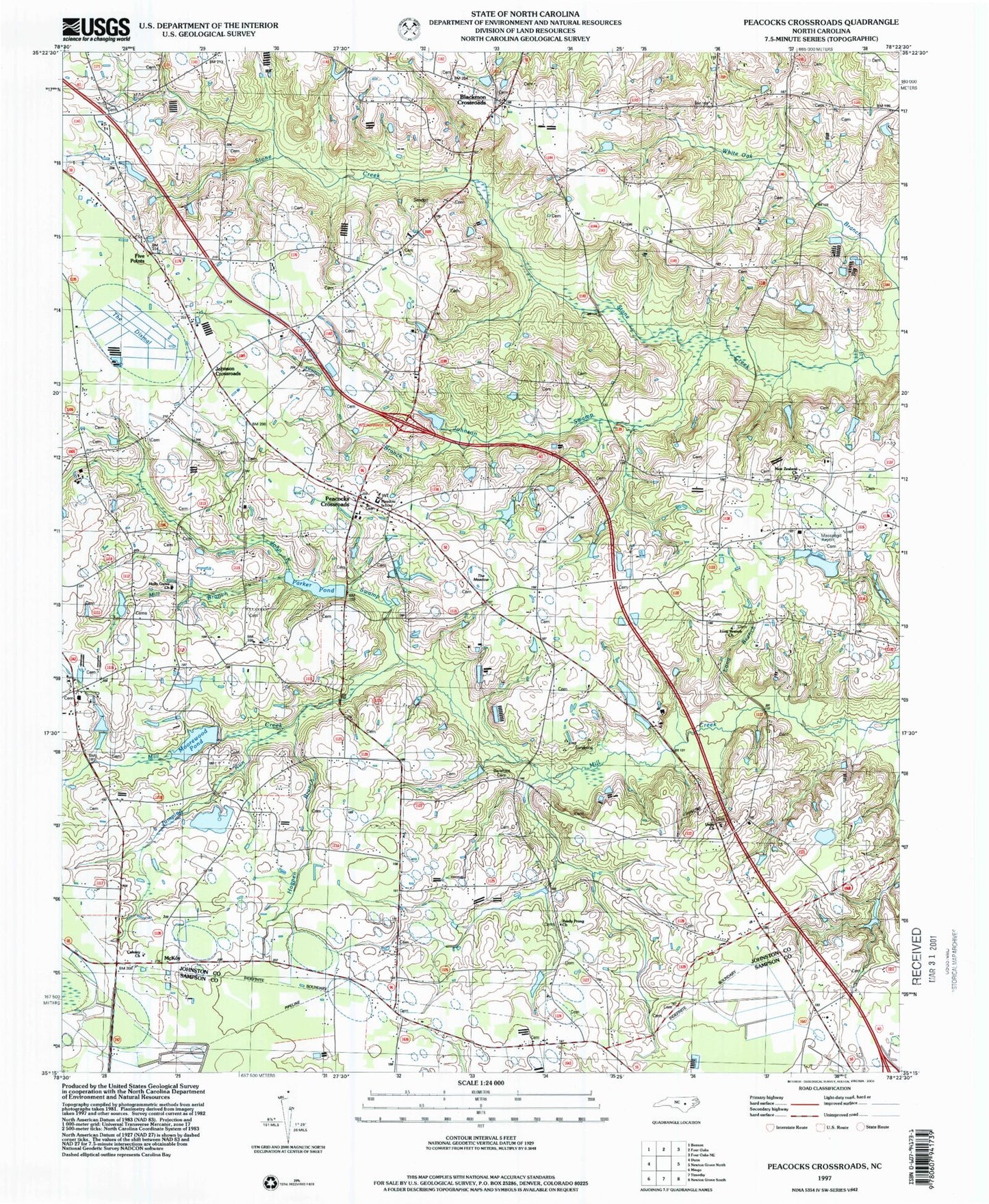
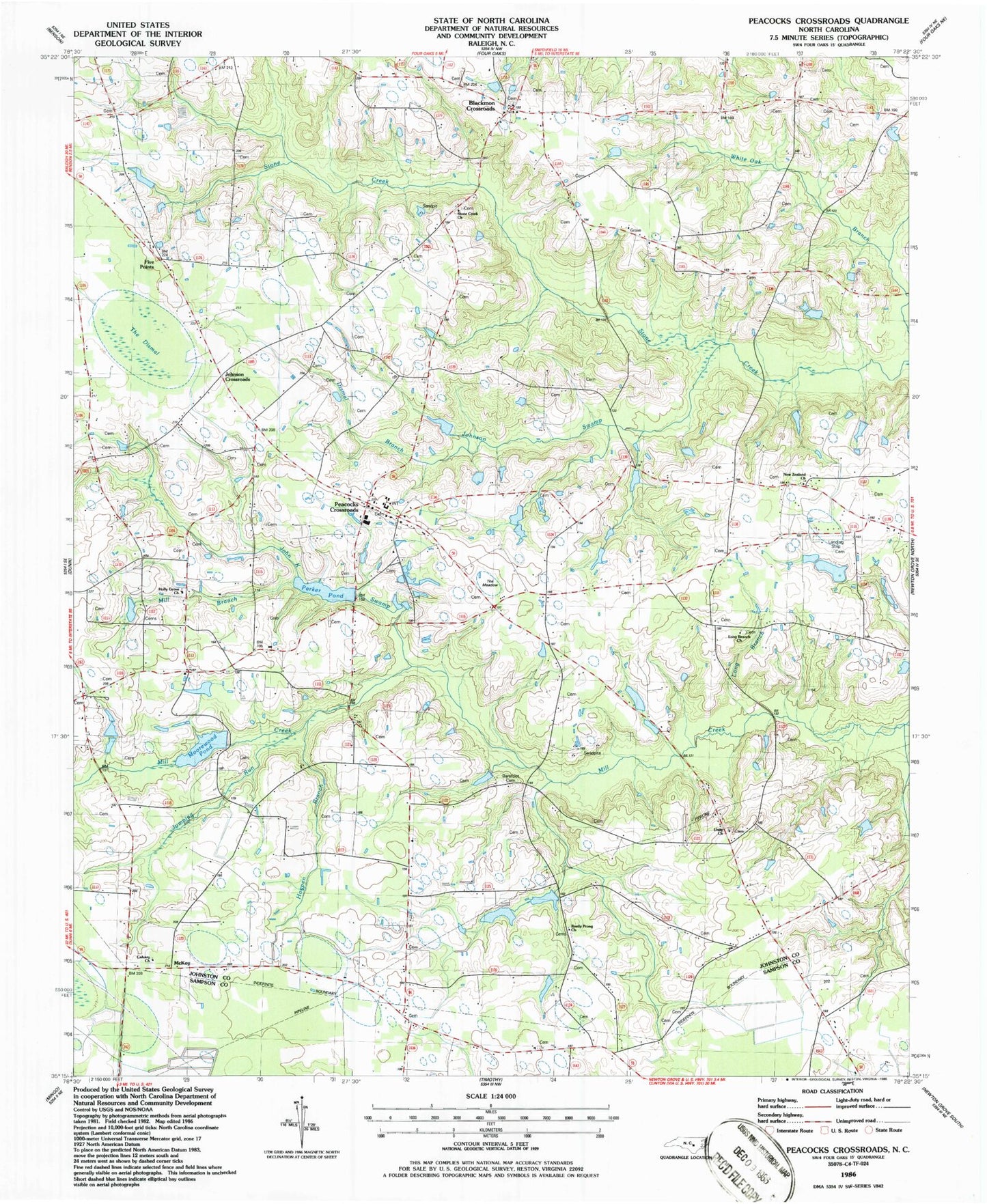
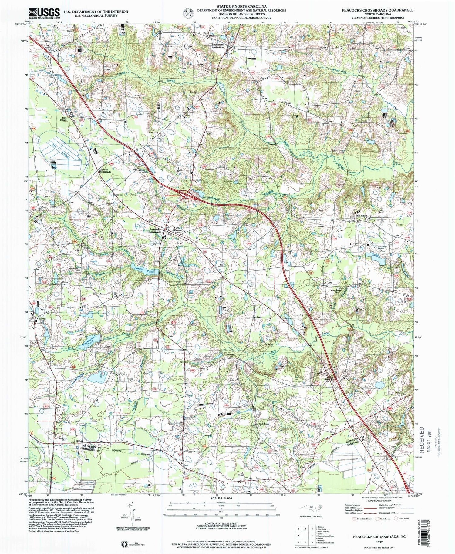
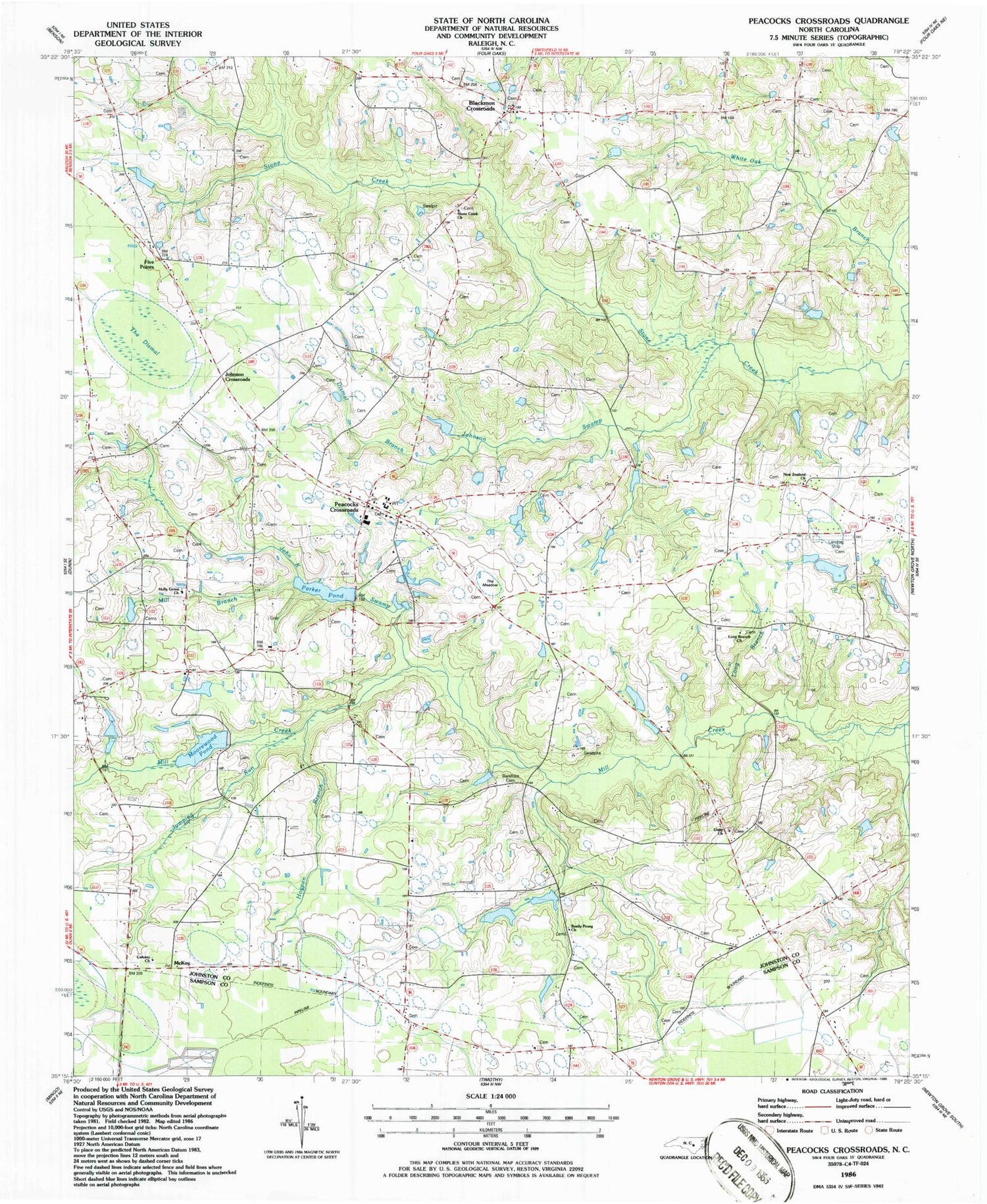
Classic USGS Peacocks Crossroads North Carolina 7.5'x7.5' Topo Map
Couldn't load pickup availability
Historical USGS topographic quad map of Peacocks Crossroads in the state of North Carolina. Map scale may vary for some years, but is generally around 1:24,000. Print size is approximately 24" x 27"
This quadrangle is in the following counties: Johnston, Sampson.
The map contains contour lines, roads, rivers, towns, and lakes. Printed on high-quality waterproof paper with UV fade-resistant inks, and shipped rolled.
Contains the following named places: Barefoot Cemetery, Beasley Store, Blackmans Crossroads Fire Department, Blackmon Crossroads, Bryan Pond Dam, Calvary Church, Dismal Branch, Durhams Lake, Fiddleair Airport, Five Points, Glenwood Crossroads, Harold W Lees Pond, Harold W Lees Pond Dam, Hickory Grove Church, Hogpen Branch, Holly Grove Church, John K Swamp, Johnson Crossroads, Johnson Swamp, Jumping Run, Lake Vance, Lake Vance Dam, Lees Mill, Little Dismal Swamp, Little Swamp Branch, Long Branch, Long Branch Church, Long Branch School, Massengill Airport, McKoy, Meadow Elementary School, Meadow Volunteer Fire Department, Mill Branch, New Zealand Church, Oak Forest, Parker Pond, Parkers Mill, Parkers Mill Pond Dam, Peacocks Crossroads, Reedy Prong Church, Stone Creek Church, Tarts Store, The Dismal, The Meadow, Township of Meadow, Unity Church, Wenthworth School, Woods, Woods Crossroads


