MyTopo
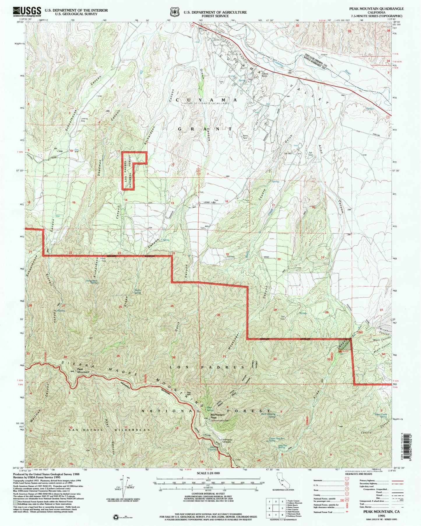
Classic USGS Peak Mountain California 7.5'x7.5' Topo Map
Couldn't load pickup availability
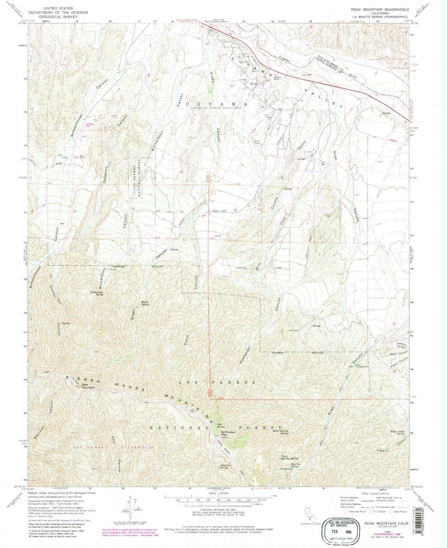
Historical USGS topographic quad map of Peak Mountain in the state of California. Typical map scale is 1:24,000, but may vary for certain years, if available. Print size: 24" x 27"
This quadrangle is in the following counties: San Luis Obispo, Santa Barbara.
The map contains contour lines, roads, rivers, towns, and lakes. Printed on high-quality waterproof paper with UV fade-resistant inks, and shipped rolled.
Contains the following named places: Stovall Canyon, Aliso Campground, Aliso Canyon, Bitter Creek Spring, Buck Opening Spring, Caliente Ranch, Coyote Gulch, Davis Canyon, Deadman Canyon, Deer Spring, Heath Spring, Hog Pen Spring, Johnston Spring, McPherson Peak, Messenger Canyon, Peak Mountain, Richardson Canyon, Richardson Spring, Upper Hog Pen Spring, Wells Creek, West Canyon, Hog Pen Spring Rustic Campsite, Hinsdale Ranch, McPherson Camp, McPherson Campground, Sierra Madre Mountains