MyTopo
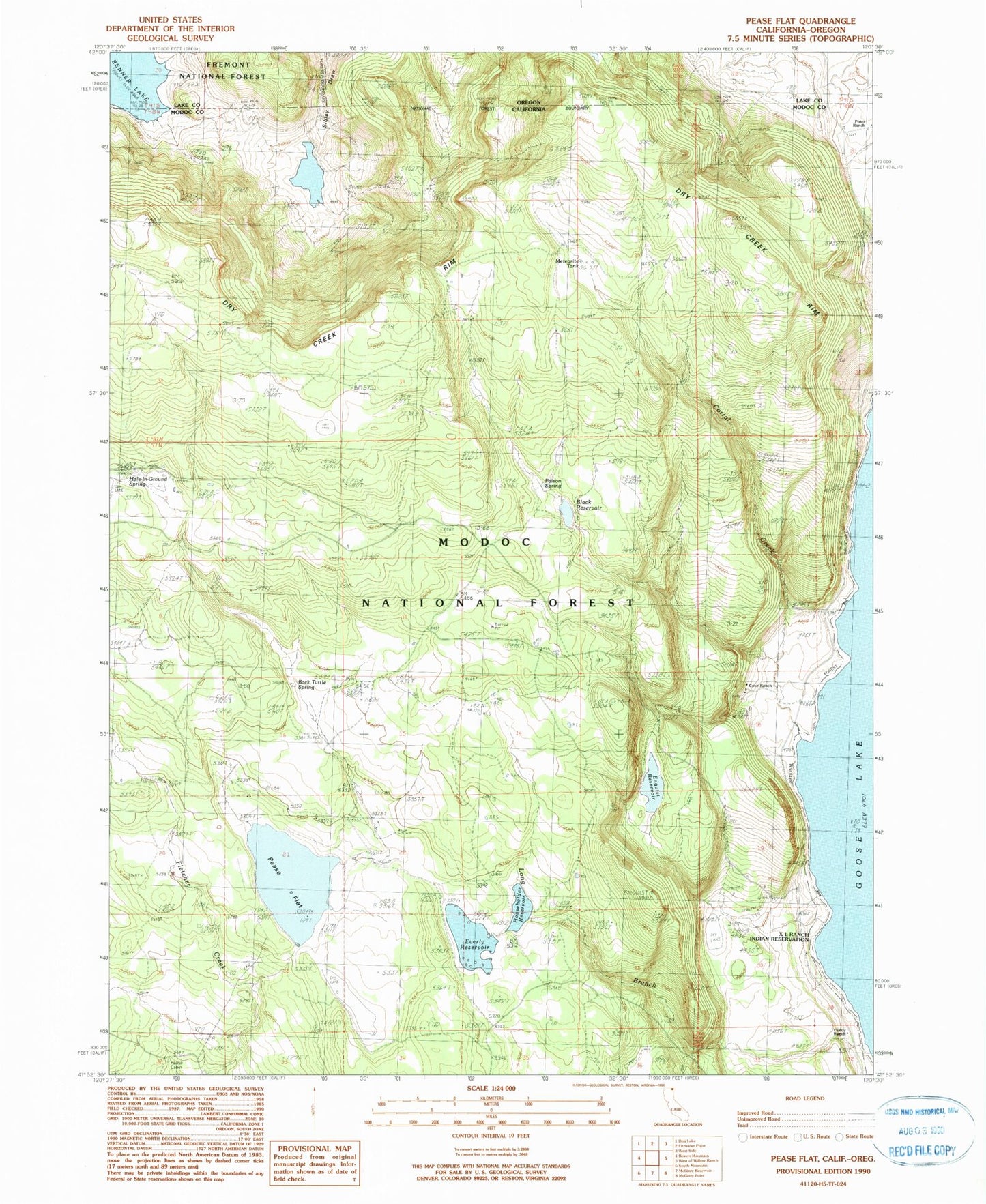
Classic USGS Pease Flat California 7.5'x7.5' Topo Map
Couldn't load pickup availability
Historical USGS topographic quad map of Pease Flat in the state of California. Map scale may vary for some years, but is generally around 1:24,000. Print size is approximately 24" x 27"
This quadrangle is in the following counties: Lake, Modoc.
The map contains contour lines, roads, rivers, towns, and lakes. Printed on high-quality waterproof paper with UV fade-resistant inks, and shipped rolled.
Contains the following named places: Back Tuttle Spring, Black Reservoir, Corral Creek, Cove Ranch, Dry Creek Rim, Enquist 158 Dam, Enquist Reservoir, Everly Ranch, Everly Reservoir, Gillum Creek, Hole-in-Ground Spring, Householder Dam, Householder Reservoir, Long Branch, Meteorite Tank, Pease Cabin, Pease Flat, Point Ranch, Poison Spring, Renner Sibley Creek 1119 Dam