MyTopo
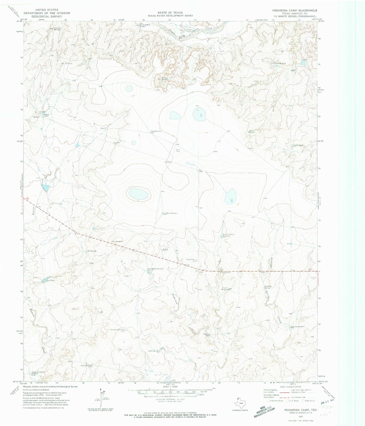
Classic USGS Pedarosa Camp Texas 7.5'x7.5' Topo Map
Couldn't load pickup availability
Historical USGS topographic quad map of Pedarosa Camp in the state of Texas. Map scale may vary for some years, but is generally around 1:24,000. Print size is approximately 24" x 27"
This quadrangle is in the following counties: Hartley.
The map contains contour lines, roads, rivers, towns, and lakes. Printed on high-quality waterproof paper with UV fade-resistant inks, and shipped rolled.
Contains the following named places: Antelope Spring, Banks Windmill, Cattail Windmill, East Punta de Agua Windmill, Full Blood Windmill, Green Tower Windmill, Hackberry Windmill, Line Windmill, Lone Tree Windmill, Martha Houghton Lake Number 1, Martha Houghton Lake Number 1 Dam, Martha Houghton Lake Number 2 Dam, New Full Blood Windmill, New Tank, Partition Windmill, Pedarosa Camp, Red Spring, Shipping Pasture Windmill, Sinclair Windmill, Smith Windmill, Soda Windmill, South Windmill, Spring Dam, Trujillo Windmill


