MyTopo
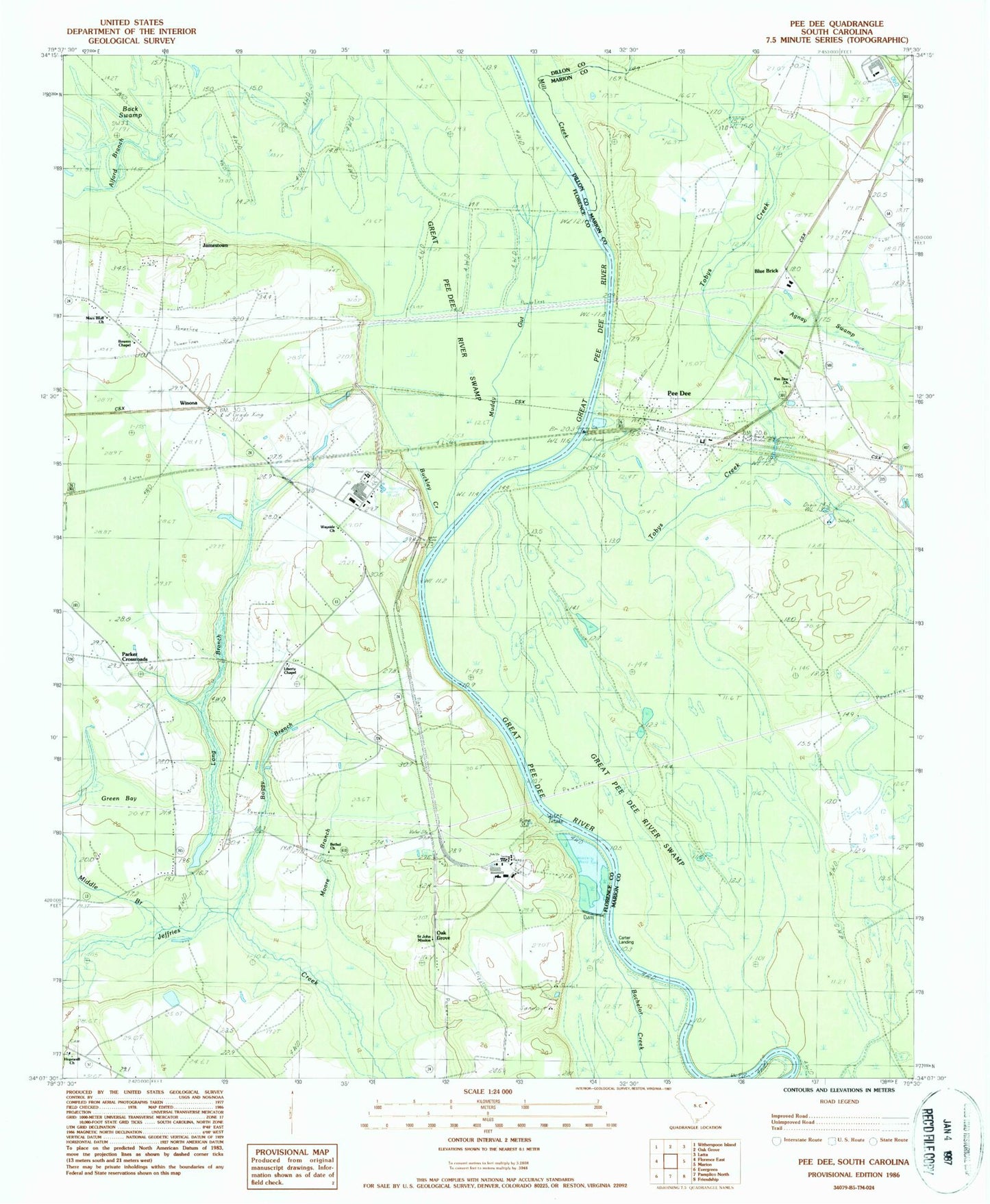
Classic USGS Pee Dee South Carolina 7.5'x7.5' Topo Map
Couldn't load pickup availability
Historical USGS topographic quad map of Pee Dee in the state of South Carolina. Map scale may vary for some years, but is generally around 1:24,000. Print size is approximately 24" x 27"
This quadrangle is in the following counties: Dillon, Florence, Marion.
The map contains contour lines, roads, rivers, towns, and lakes. Printed on high-quality waterproof paper with UV fade-resistant inks, and shipped rolled.
Contains the following named places: Agnay Swamp, Alford Branch, Back Swamp, Bethel Church, Blue Brick, Boggy Branch, Bowers Chapel United Methodist Church, Buckley Creek, Calvary Church, Carter Landing, Cedar Grove School, Cud Swamp, Great Pee Dee River Swamp, Greater Vision Tabernacle, Green Bay, Hopewell Church, Jamestown, Liberty Chapel United Methodist Church, Long Branch, Mars Bluff, Mars Bluff Bridge, Middle Branch, Mill Creek, Moody Cemetery, Moore Branch, Muddy Gut, Oak Grove, Oak Grove School, Parker Crossroads, Pee Dee, Pee Dee Church, Pee Dee School, Pepsi Cola Lake, Pepsi Cola Lake Dam D-3562, Pleasant Grove Church, Saint John Mission, Saint Marks Church, Saint Matthews Church, Summerville School, Tobys Creek, Wayside Church, Windy Hill Fire Department Station 5, Winona, WKSY-FM (Marion), WWPD-FM (Marion), Zion Church