MyTopo
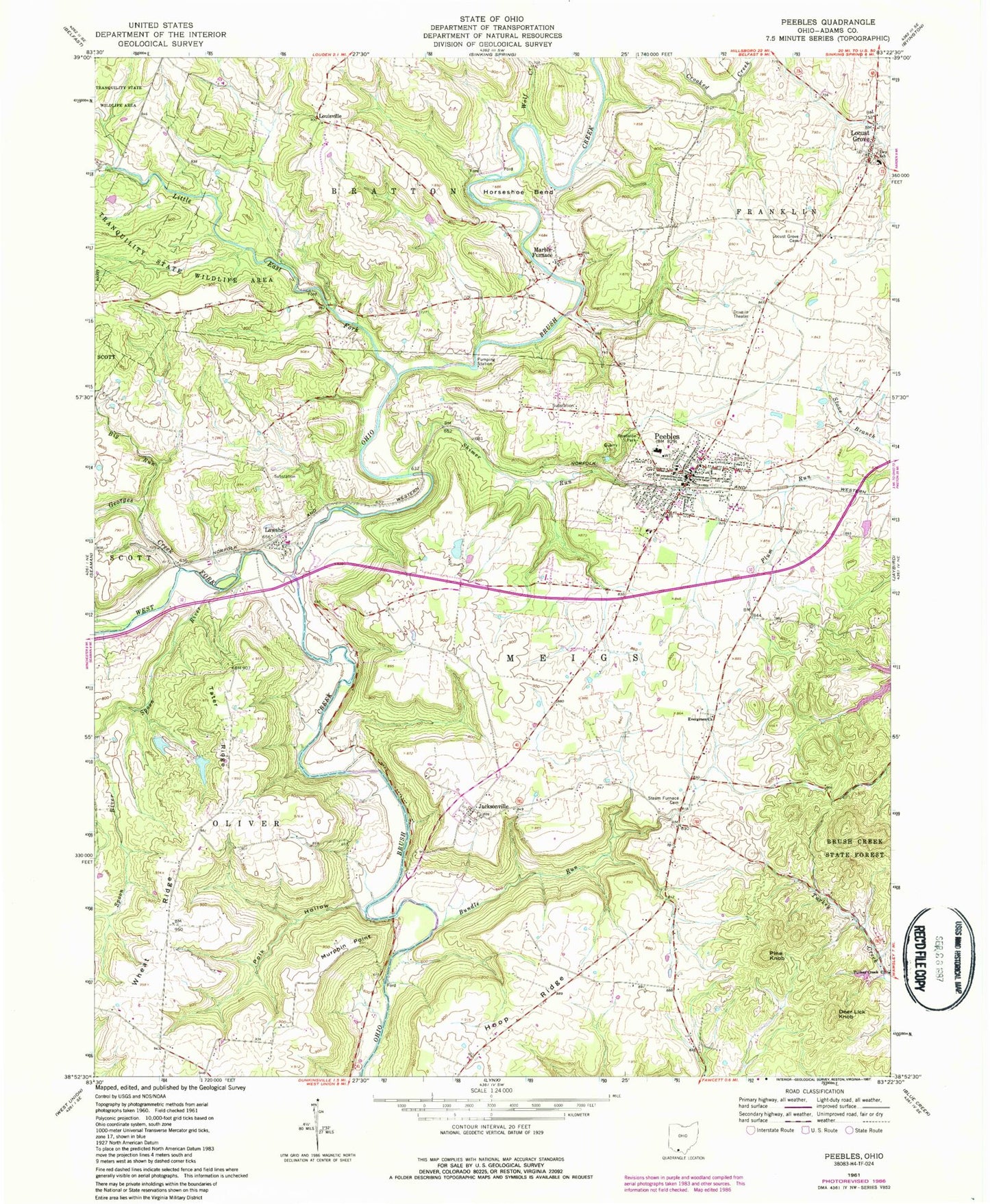
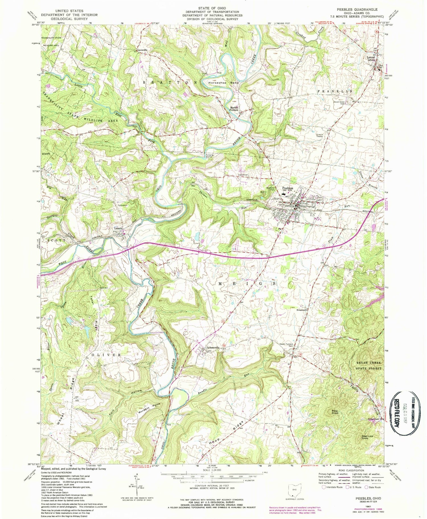
Classic USGS Peebles Ohio 7.5'x7.5' Topo Map
Couldn't load pickup availability
Historical USGS topographic quad map of Peebles in the state of Ohio. Typical map scale is 1:24,000, but may vary for certain years, if available. Print size: 24" x 27"
This quadrangle is in the following counties: Adams.
The map contains contour lines, roads, rivers, towns, and lakes. Printed on high-quality waterproof paper with UV fade-resistant inks, and shipped rolled.
Contains the following named places: Big Run, Bundle Run, Evergreen Church, Hoop Ridge, Horseshoe Bend, Little East Fork Ohio Brush Creek, Locust Grove Cemetery, Murphin Point, Peebles, Polk Hollow, Spoon River, Steam Furnace Cemetery, Tater Ridge, Tranquility State Wildlife Area, West Fork Ohio Brush Creek, Wheat Ridge, Wolf Creek, Deer Lick Knob, Lawshe, Hoop Ridge School (historical), Measley School (historical), Palestine School (historical), Peebles High School, Rose Hill School, Steam Furnace School (historical), Tater Ridge School (historical), Locust Grove, Louisville, Jacksonville, Marble Furnace, Georges Creek, Shimer Run, Steam Furnace, Laycocks Farm Pond Dam Number One, Laycocks Farm Pond Number One, Laycocks Farm Pond Dam Number Two, Laycocks Farm Pond Number Two, Lewis Airport, Township of Meigs, Evergreen Cemetery, Jacksonville Cemetery, Lawshe Cemetery, Louisville Cemetery, Marble Furnace Cemetery, Holy Trinity Catholic Church, Locust Grove Wesleyan Church, Praise and Worship Church, Lawshe Post Office (historical), Jacksonville Post Office (historical), Locustgrove Post Office (historical), Locustgrove Post Office (historical), Marble Furnace Post Office (historical), Peebles Post Office, Village of Peebles, Peebles Fire Department, Franklin Township Fire Department, Peebles Life Squad - Adams City Emergency Medical Services, Peebles Police Department, Pine Knob