MyTopo
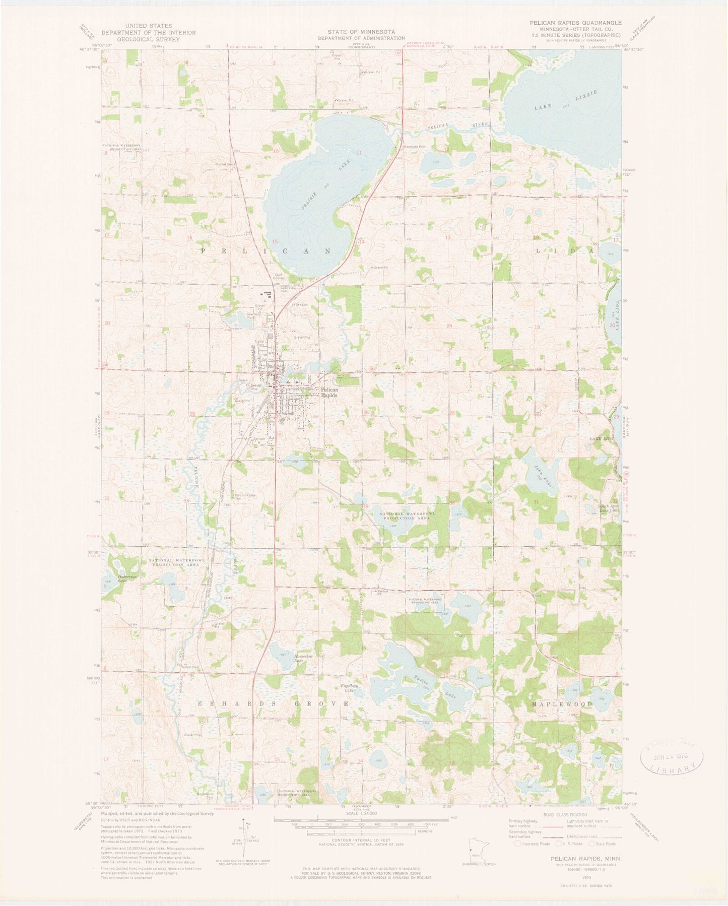
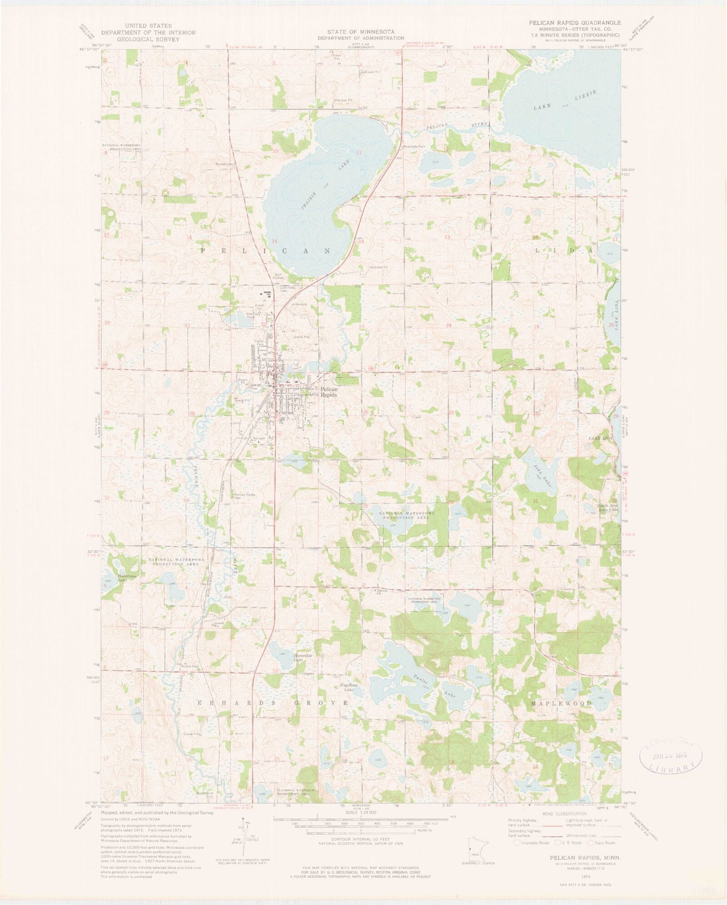
Classic USGS Pelican Rapids Minnesota 7.5'x7.5' Topo Map
Couldn't load pickup availability
Historical USGS topographic quad map of Pelican Rapids in the state of Minnesota. Map scale may vary for some years, but is generally around 1:24,000. Print size is approximately 24" x 27"
This quadrangle is in the following counties: Otter Tail.
The map contains contour lines, roads, rivers, towns, and lakes. Printed on high-quality waterproof paper with UV fade-resistant inks, and shipped rolled.
Contains the following named places: Assembly of God Church, Bagstevold Cemetery, Bethel Cemetery, Birchwood Golf Course, Calvary Evangelical Free Church, Central Church, Central Swede Grove Lutheran Church Cemetery, Chauncey Martin Field, City of Pelican Rapids, E L Peterson Park, Estlick Wildlife Wetland Structure Dam, Faith Lutheran Church, First Congregational Church, Fogelberg Lake, Good Samaritan Center, Halverson Lake, Horseshoe Lake, John Lake, Lake Lizzie Shores Resort and Campgrounds, Lake View Cemetery, Lida Greens Golf Course, Lizzie Lake, Lizzie Lake Dam, Mavis Frazier Trailer Park, Minnesota Woman Roadside Parking Area, Old Pelican Valley Cemetery, Pelican Rapids, Pelican Rapids Dam, Pelican Rapids Library, Pelican Rapids Mobile Home Park, Pelican Rapids Police Department, Pelican Rapids Post Office, Pelican Rapids Village Historical Marker, Pelican Rapids Volunteer Fire Department, Pelican Valley Cemetery, Pelican Valley Clinic, Pelican Valley Health Center, Prairie Lake, Prairie Lake Dam, Prairie Lake Wayside Park, Ringdahl Ambulance Service Pelican Rapids, Rotary Club Suspension Bridge, Saint Leonard Catholic Church, Saint Leonard's Catholic Church Cemetery, School Number 156N, School Number 156S, School Number 18, School Number 276, School Number 35E, School Number 79, Sherin Park, Township of Pelican, Trinity Lutheran Church, Twelve Lake, ZIP Code: 56572


