MyTopo
Classic USGS Pelletier Brook Lakes Maine 7.5'x7.5' Topo Map
Couldn't load pickup availability
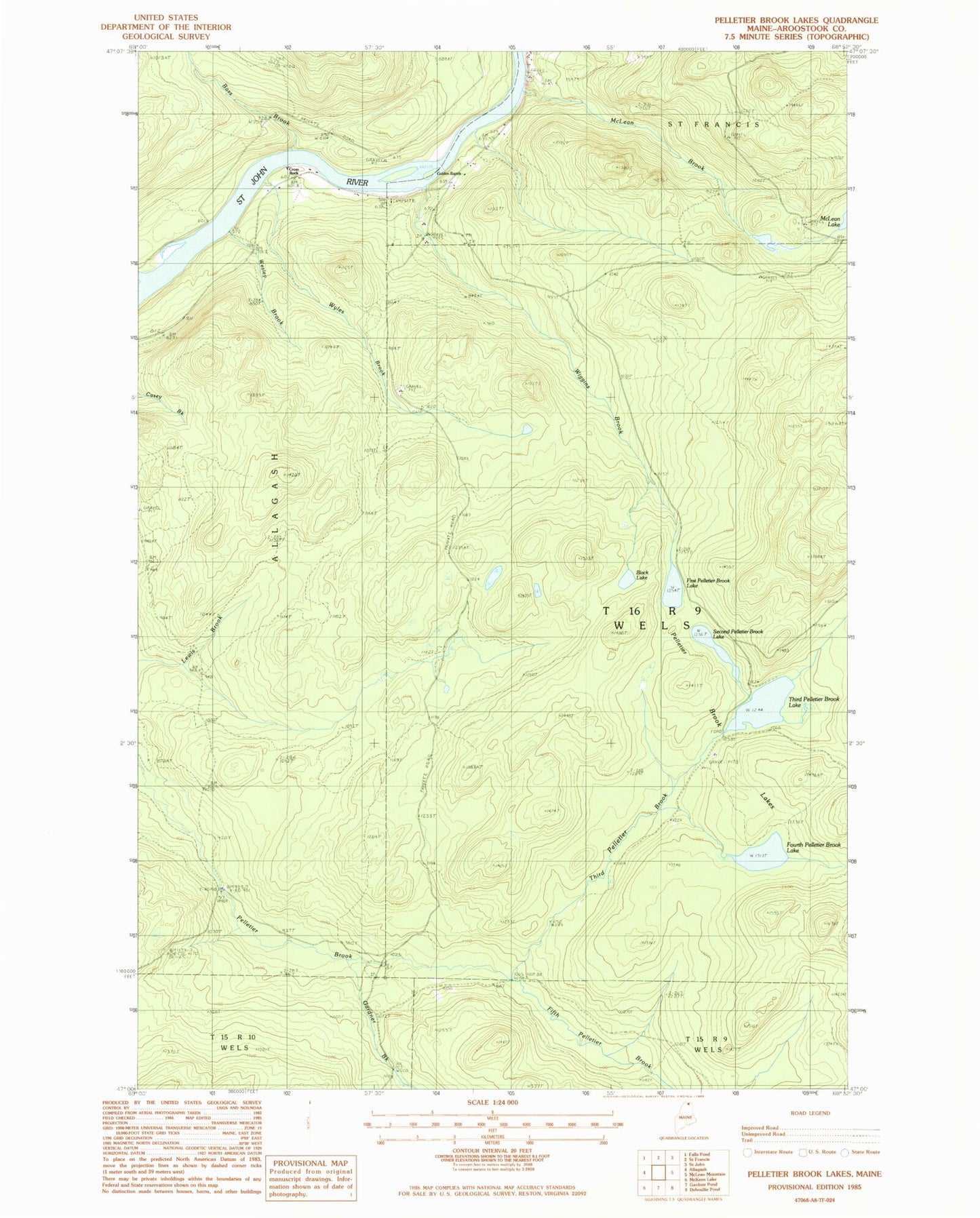
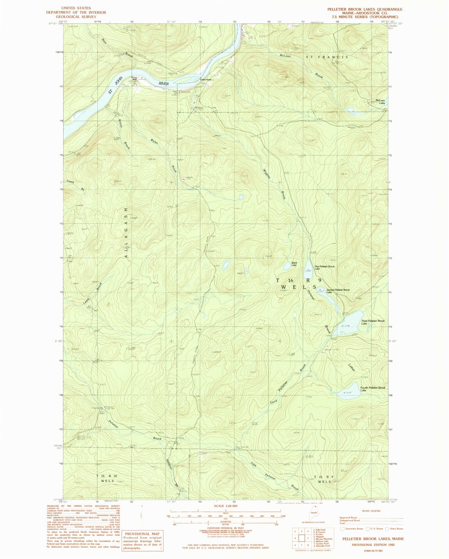
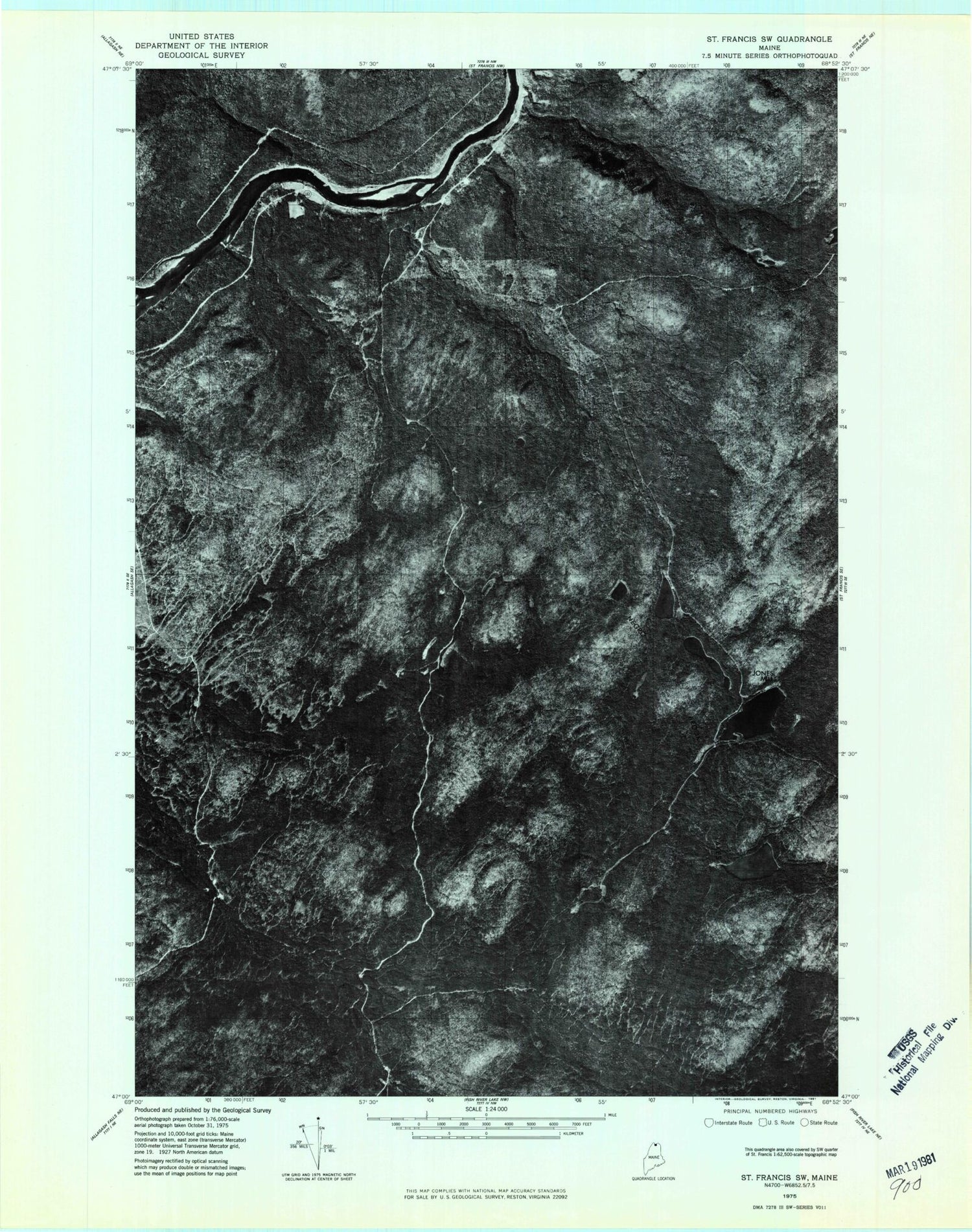
Historical USGS topographic quad map of Pelletier Brook Lakes in the state of Maine. Map scale may vary for some years, but is generally around 1:24,000. Print size is approximately 24" x 27"
This quadrangle is in the following counties: Aroostook.
The map contains contour lines, roads, rivers, towns, and lakes. Printed on high-quality waterproof paper with UV fade-resistant inks, and shipped rolled.
Contains the following named places: Bass Brook, Black Lake, Cross Rock, Cross Rock Rapids, Cross Rock School, Fifth Pelletier Brook, First Pelletier Brook Lake, Fourth Pelletier Brook Lake, Gardner Brook, Golden Rapids, Jones Camp, McLean Brook, Pelletier Brook Lakes, Second Pelletier Brook Lake, Soucier Camp, T16 R9 WELS, Third Pelletier Brook, Third Pelletier Brook Lake, Wesley Brook, Wiggins Brook, Wyles Brook