MyTopo
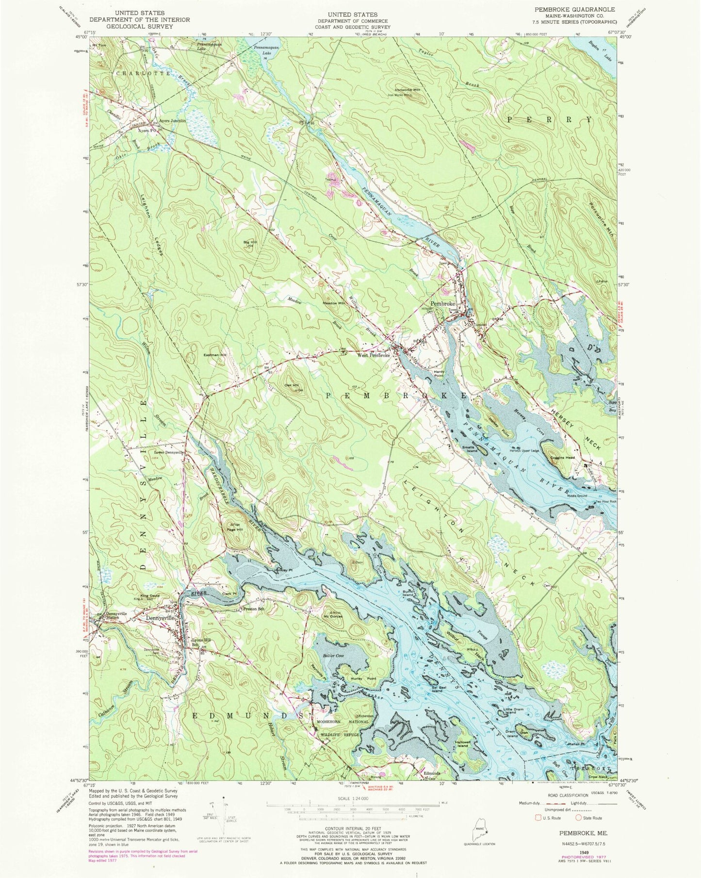
Classic USGS Pembroke Maine 7.5'x7.5' Topo Map
Couldn't load pickup availability
Historical USGS topographic quad map of Pembroke in the state of Maine. Map scale may vary for some years, but is generally around 1:24,000. Print size is approximately 24" x 27"
This quadrangle is in the following counties: Washington.
The map contains contour lines, roads, rivers, towns, and lakes. Printed on high-quality waterproof paper with UV fade-resistant inks, and shipped rolled.
Contains the following named places: Ayers, Ayers Post Office, Bellier Cove, Big Hill, Burnt Island, Cathance Stream, Chandler Brook, Clark Point, Clarksdale School, Cobscook Falls, Coggins Head, Crossroad School, Crow Brook, Dennys Bay, Dennys River, Dennysville, Dennysville Cemetery, Dennysville Historic District, Dennysville Post Office, Dennysville Station, Dennysville Volunteer Fire and Rescue Department, Dennysville Volunteer Rescue, Dram Island, Duck Harbor, Eastman Hill, Edmunds Consolidated School, Forest Hill Cemetery, Hardscrabble River, Hardy Point, Hersey Cove, Hersey Neck, Hersey Point, Herseys Upper Ledge, Hobart Stream, Hunkley Point, Hurley Point, Imnarkuan, Ironworks Mountain, King David Hill, Knowltons Seashore Campground, Leighton Ledges, Leighton Neck, Lincoln Memorial Library, Little Dram Island, Lower Dennysville, Lower River Dam, Mahar Point, Meadow Brook, Meadow Mountain, Middle Ground, Mount Dorcas, Oak Hill, Ox Cove, Page Hill, Pembroke, Pembroke Cottage Dam, Pembroke Elementary School, Pembroke Library Association, Pembroke Post Office, Pembroke Volunteer Fire Department, Pennamaquan Lake, Pennamaquan River Dam, Preston School, Reversing Falls Park, Reynolds Point, Sal Seal Island, Sipp Brook, Smalls Island, Town of Pembroke, Township of Trescott, Two Hour Rock, West Pembroke, Wilbur Neck, Williams Island, Willow Brook, Wilson Stream, Youngs Cove, ZIP Code: 04666


