MyTopo
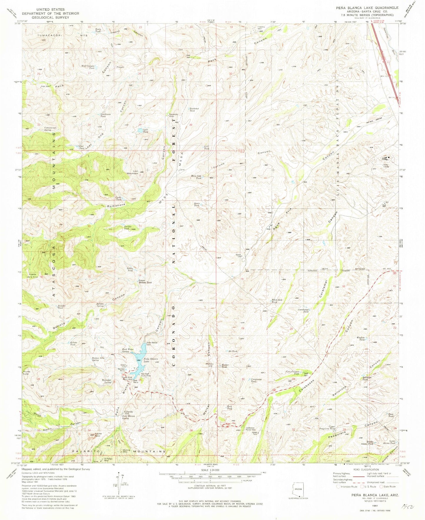
Classic USGS Pena Blanca Lake Arizona 7.5'x7.5' Topo Map
Couldn't load pickup availability
Historical USGS topographic quad map of Pena Blanca Lake in the state of Arizona. Typical map scale is 1:24,000, but may vary for certain years, if available. Print size: 24" x 27"
This quadrangle is in the following counties: Santa Cruz.
The map contains contour lines, roads, rivers, towns, and lakes. Printed on high-quality waterproof paper with UV fade-resistant inks, and shipped rolled.
Contains the following named places: Agua Fria Canyon, Bellota Canyon, Big Steve Mine, Castle Rock, Cottonwood Spring, Cumming Ranch, Fresno Canyon, H Six Well, Kane Ranch, Lion Mountain, Lost Dog Canyon, Morning Mine, Pena Blanca Canyon, Puerto de la Cruz, Ramanote Canyon, Saint Patrick Mine, Toruno Canyon, Walker Canyon, Wise Mesa, Alamo Canyon, Basin Tank, Basin Tank, Bellota Spring, Bellota Tank, Bellotosa Tank, Bobby Tank, Boulder Tank, Buckshot Tank, CCC Tank, Calabasas Picnic Area, Caralampi Tank, Caralampi Tank, Castle Tank, Cruz Canyon Tank, Dove Tank, Dutchman Tank, H Six Tank, Lost Tank, Lower Alamo Tank, Lower Bellota Tank, Mesa Side Tank, Middle Alamo Tank, Noonville (historical), Peck Well, Pena Blanca Lake, Pena Blanca Spring, Pena Blanca Trail Number Forty-one, Ramanote Wells, Red Rock Picnic Area, Rio Rico Airstrip (historical), Rock Tank, Rock Water Spring, Split Tank, Thumb Rock Picnic Area, Toruno Tank, Twin Tank, Upper Pesqueira Tank, Walker Tank, Waterfall Spring, White Oak Tank, Wisdom Tank, Wolf Canyon Tank, Lowell Ranch, White Rock Campground, Nogales Division, Pena Blanca Dam, Rock Water Spring, Rio Rico Southwest Census Designated Place (historical)


