MyTopo
Classic USGS Pender Coulee Montana 7.5'x7.5' Topo Map
Regular price
$16.95
Regular price
Sale price
$16.95
Unit price
per
Couldn't load pickup availability
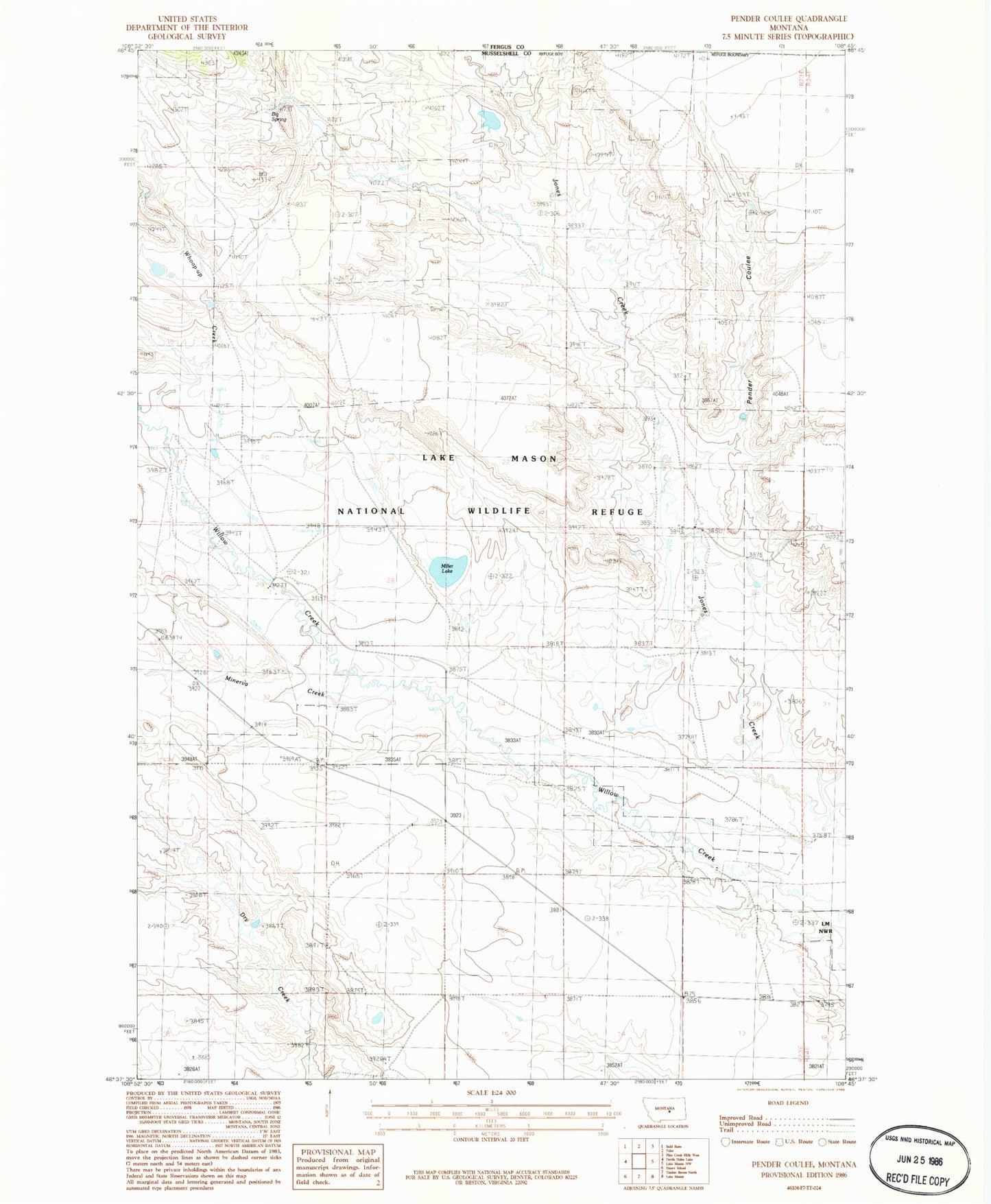
Historical USGS topographic quad map of Pender Coulee in the state of Montana. Map scale may vary for some years, but is generally around 1:24,000. Print size is approximately 24" x 27"
This quadrangle is in the following counties: Fergus, Musselshell.
The map contains contour lines, roads, rivers, towns, and lakes. Printed on high-quality waterproof paper with UV fade-resistant inks, and shipped rolled.
Contains the following named places: 10N23E02BBC_01 Well, 10N23E04ADA_01 Well, 10N23E10A___01 Well, Big Spring, Highfield Post Office, Joe Toe Dam, Lake Mason National Wildlife Refuge, Miller Lake, Minerva Creek, Pender Coulee, Whoop-Up Creek