MyTopo
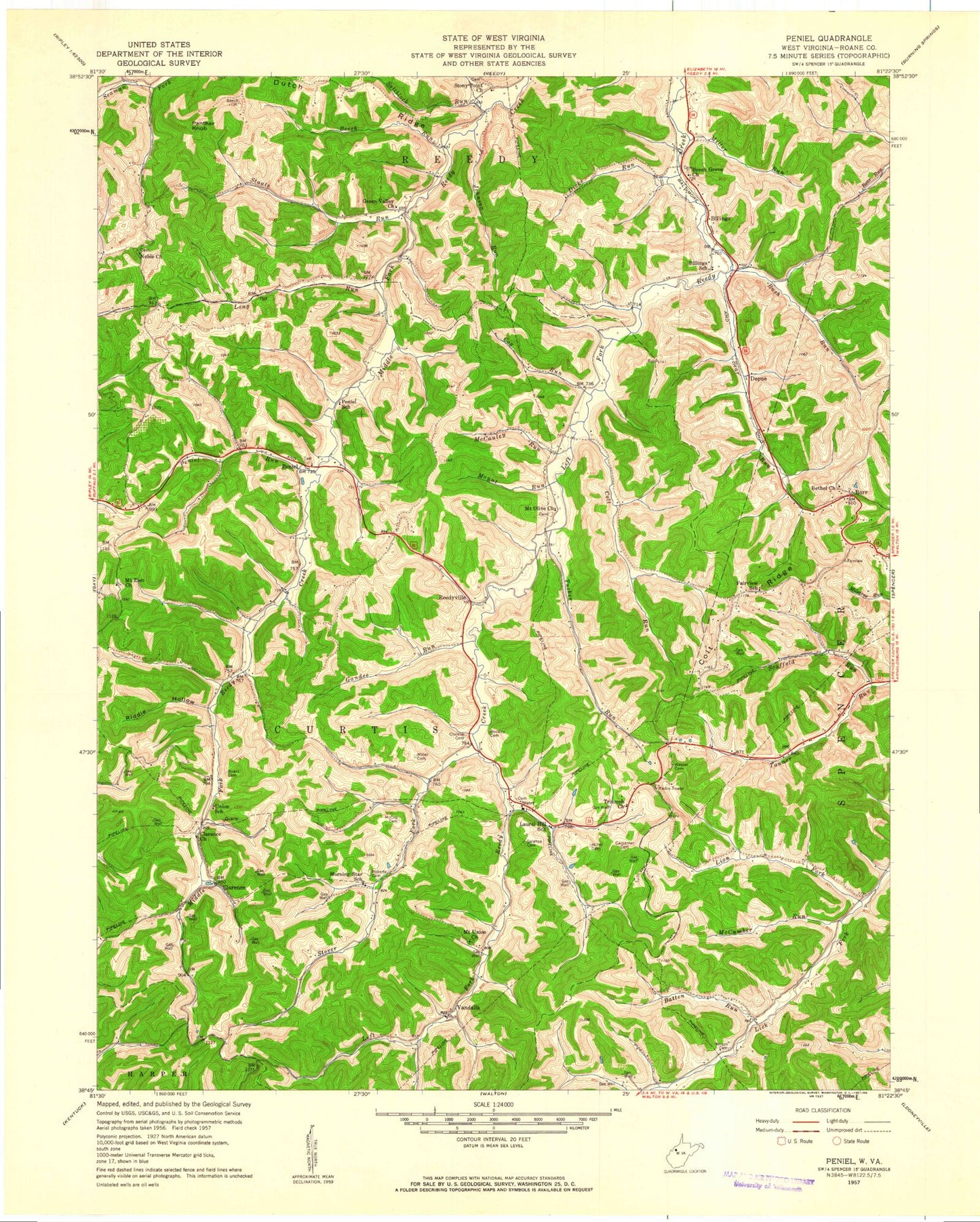
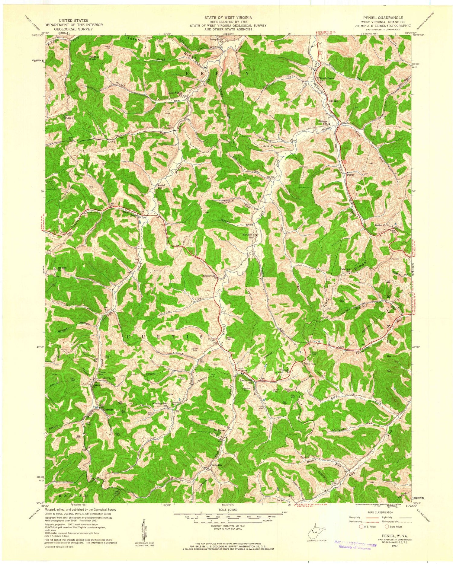
Classic USGS Peniel West Virginia 7.5'x7.5' Topo Map
Couldn't load pickup availability
Historical USGS topographic quad map of Peniel in the state of West Virginia. Map scale may vary for some years, but is generally around 1:24,000. Print size is approximately 24" x 27"
This quadrangle is in the following counties: Roane.
The map contains contour lines, roads, rivers, towns, and lakes. Printed on high-quality waterproof paper with UV fade-resistant inks, and shipped rolled.
Contains the following named places: Barrs, Batten Run, Bear Run, Beckley Cemetery, Beech Grove United Methodist Church, Beech Run, Bethel United Methodist Church, Billings, Billings School, Board Cemetery, Boggs School, Carpenter Cemetery, Cherry Valley Church, Chrislip Cemetery, Clarence, Clarence Church, Colt Ridge, Colt Run, Cox Run, Curtis School, Depue, Dicks Run, District I, Dutch Ridge, Fairview School, Galahoe Cemetery, Gandee Run, Green Valley Church, Johnson Run, Lake Trotter Dam, Laurel Hill School, Leaning Oak, Leaning Oak School, Lion Fork, Long Run, McCauley Run, McCoy Cemetery, McCumber Run, Miller Cemetery, Miller Run, Morning Star, Morning Star School, Mount Olive, Mount Olive Church, Mount Run, Mount Union Church, Mount Zion Cemetery, Mount Zion Community Church, Nebo School, Noble Church, North Star School, Panther Knob, Peniel, Peniel Community Church, Peniel Run, Peniel School, Reedyville, Riddle Hollow, Roane County Country Club Golf Course, Roberts Cemetery, Rush Run, Saltblock Run, Scaffold Run, Staats Run, Stoney Point United Methodist Church, Stony Point School, Stover Fork, Sunnybank School, Tanner Run School, Triump Church, Tucker Run, Union School, Valley Forge School, Vandalia, Weaver Cemetery, Wilson Cemetery, ZIP Code: 25270


