MyTopo
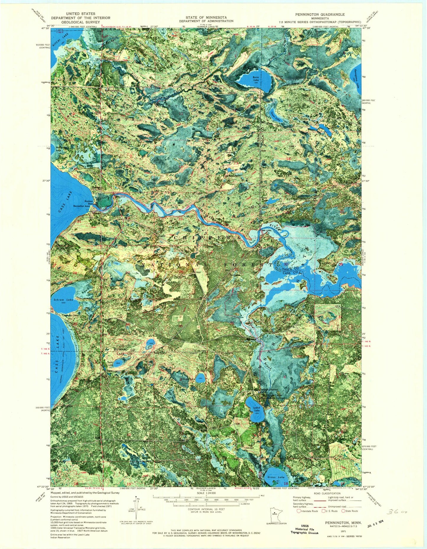
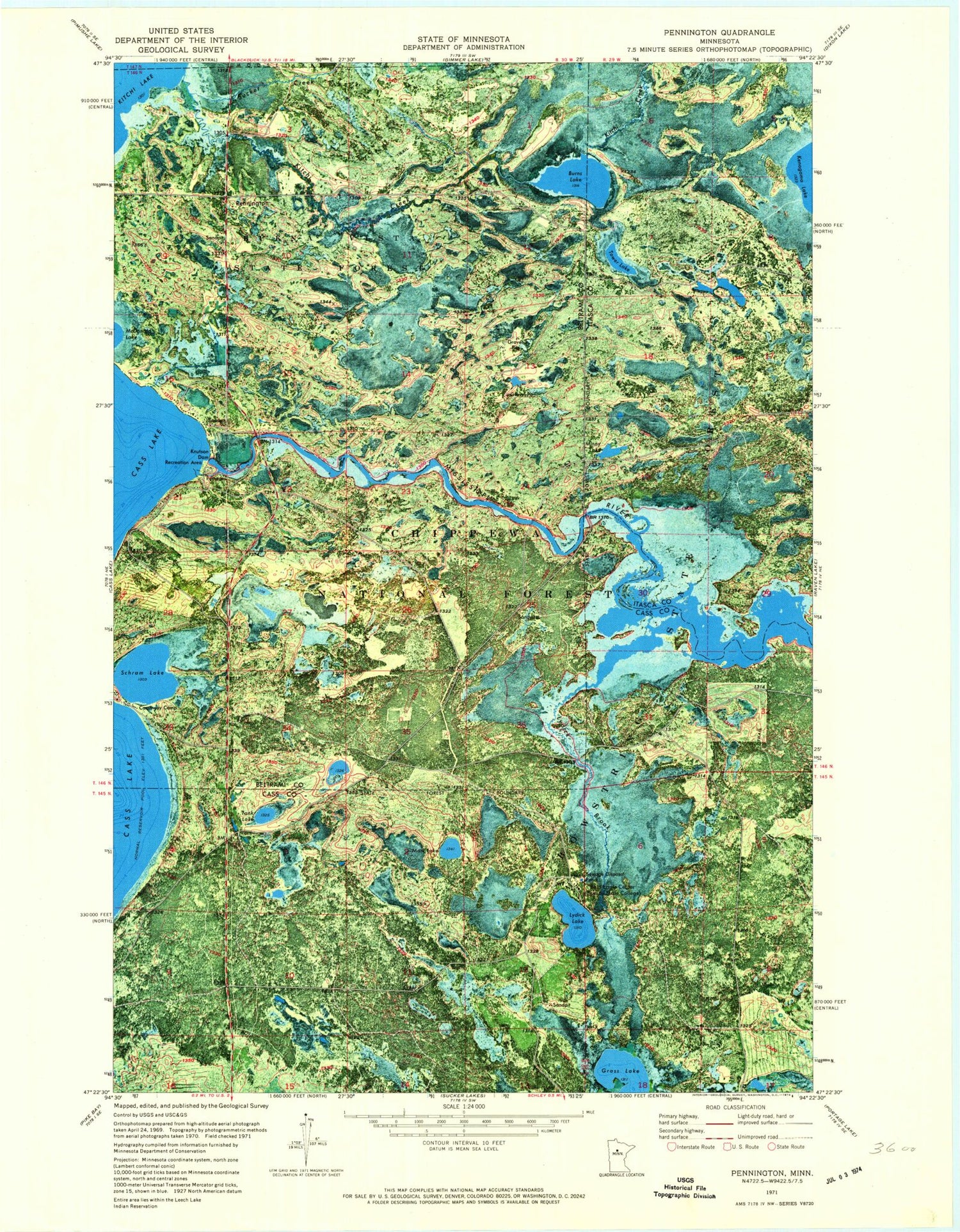
Classic USGS Pennington Minnesota 7.5'x7.5' Topo Map
Couldn't load pickup availability
Historical USGS topographic quad map of Pennington in the state of Minnesota. Map scale may vary for some years, but is generally around 1:24,000. Print size is approximately 24" x 27"
This quadrangle is in the following counties: Beltrami, Cass, Itasca.
The map contains contour lines, roads, rivers, towns, and lakes. Printed on high-quality waterproof paper with UV fade-resistant inks, and shipped rolled.
Contains the following named places: Bald Eagle Center, Burns Lake, Camp Cassaway, Canoe Campsite, Cassaway Camp, Cub Impoundment, Grass Lake, Grass Lake Impoundment, Kitchi Creek, Knutson Dam, Knutson Dam Recreation Area, Knutson Dam Summer Homes, Lydick Brook, Lydick Lake, Mark Lake, Minny Lake, Nushka Group Camp and Picnic Ground, Pennington, Pennington Post Office, Schram Lake, Sucker Creek, Tank Lake, Towe Lake, Tower Lake Hunter Walker Trails, Unorganized Territory of Brook Lake, ZIP Code: 56663