
MyTopo
Classic USGS Pennsboro West Virginia 7.5'x7.5' Topo Map
Couldn't load pickup availability
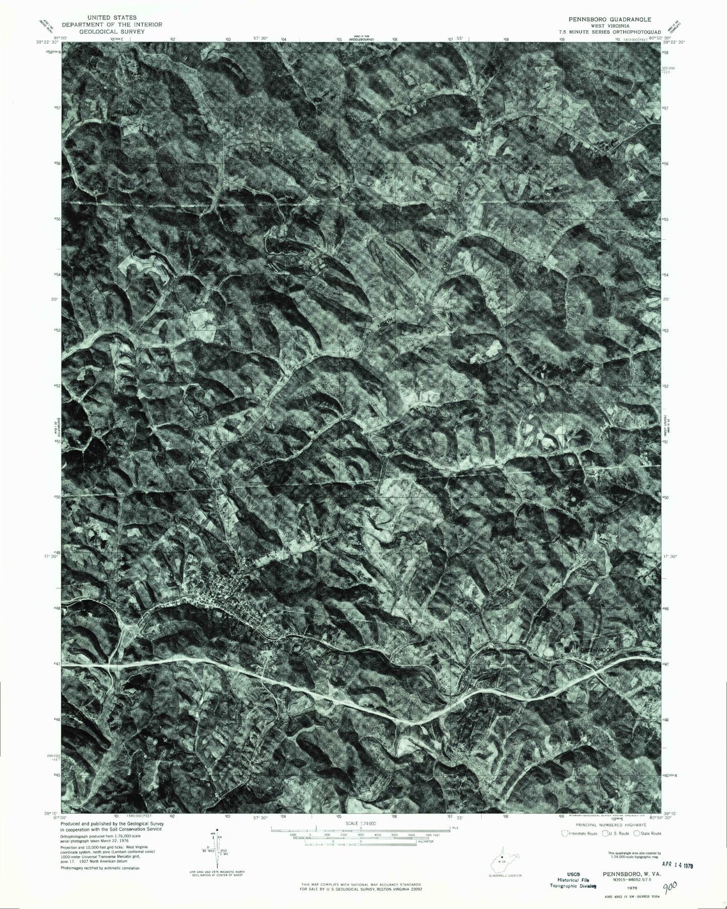
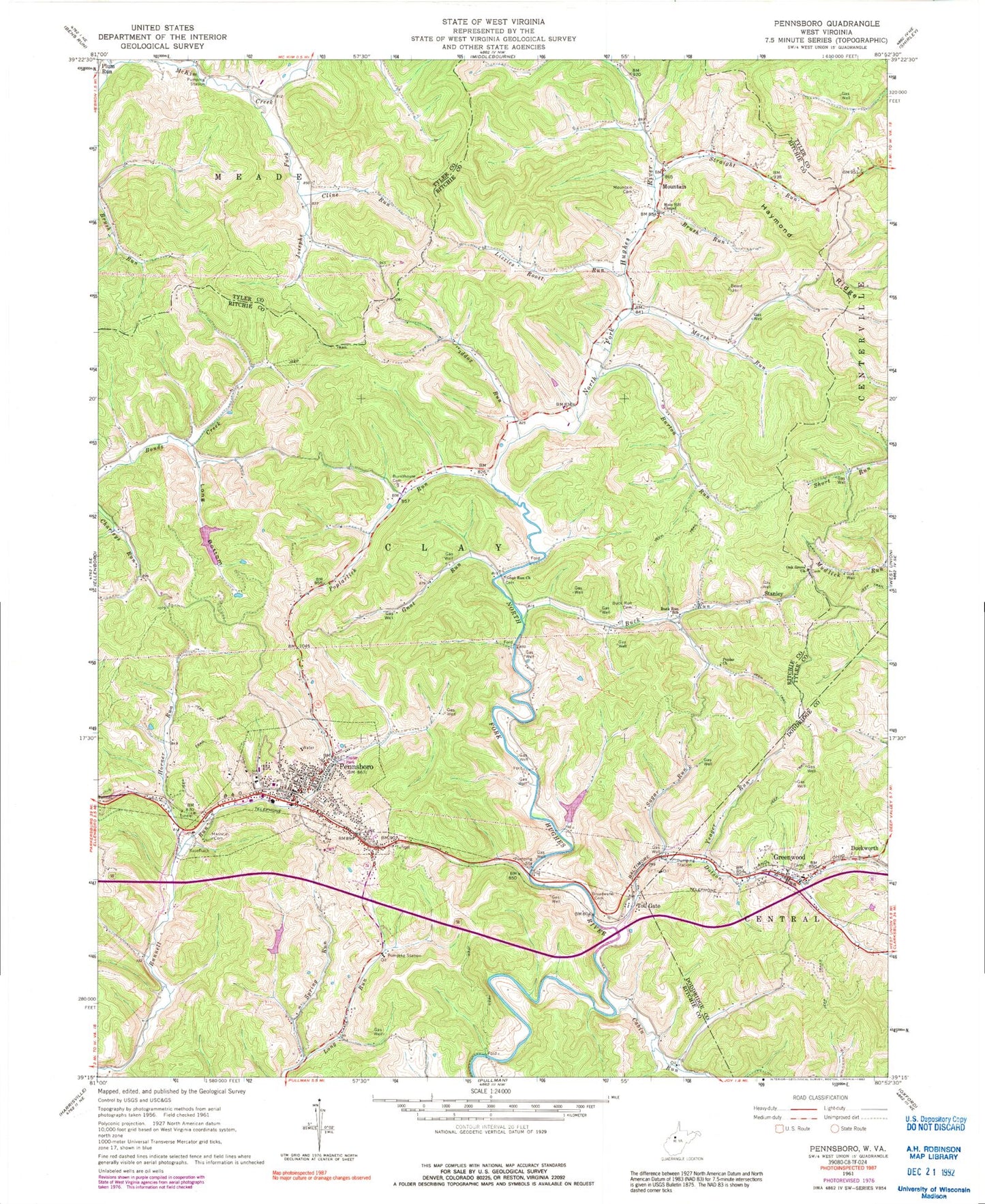
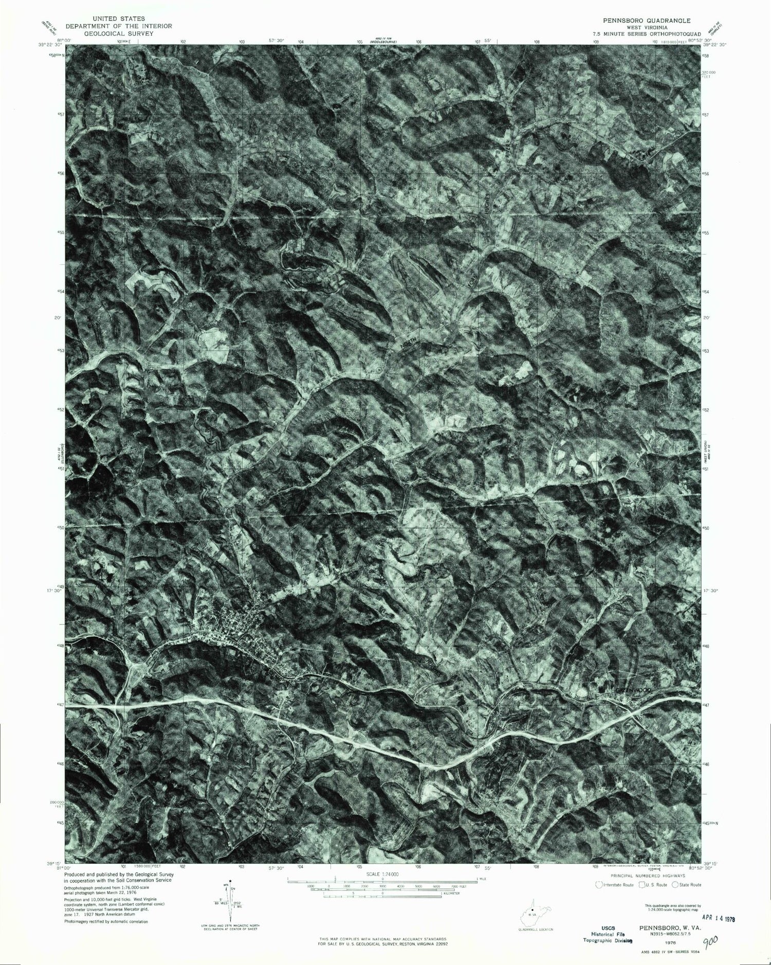
Historical USGS topographic quad map of Pennsboro in the state of West Virginia. Typical map scale is 1:24,000, but may vary for certain years, if available. Print size: 24" x 27"
This quadrangle is in the following counties: Doddridge, Ritchie, Tyler.
The map contains contour lines, roads, rivers, towns, and lakes. Printed on high-quality waterproof paper with UV fade-resistant inks, and shipped rolled.
Contains the following named places: Broadwater Cemetery, Brush Run, Buck Run, Buck Run Cemetery, Buck Run School (historical), Burnthouse Cemetery, Burton Run, Cabin Run, Charleys Run, Cline Run, Dotson Run, Gnat Run, Gnat Run Church, Horner Run, Josephs Fork, Lizzies Roost Run, Long Bottom, Long Run, Marsh Run, Masonic Cemetery, Mole Hill Chapel, Mountain, Mole Hill Cemetery, Oak Grove Church, Pennsboro, Plum Run, Poplar Church, Poplarlick Run, Straight Run, Sugar Run, Xddox Run, Yeager Run, Duckworth, Greenwood, Plum Run, Stanley, Toll Gate, Bonds Creek Structure One Dam, Reservoir Run Dam, Pennsboro Water Supply Lake, Joseph School (historical), Plum Road School (historical), Sunshine School (historical), Bunnell Run School (historical), Chestnut Grove School (historical), Creed Collins Elementary School, Mount Vernon School (historical), Mountain Post Office, Pennsboro Post Office, Taylor School (historical), Toll Gate Post Office, Greenwood Cemetery, Greenwood Post Office, Clay District, City of Pennsboro, Pennsboro Volunteer Fire Department, Greenwood Volunteer Fire Department, Ritchie County Ambulance Authority Station 41, Pennsboro Public Library, Pennsboro Police Department