MyTopo
Classic USGS Pennville Indiana 7.5'x7.5' Topo Map
Couldn't load pickup availability
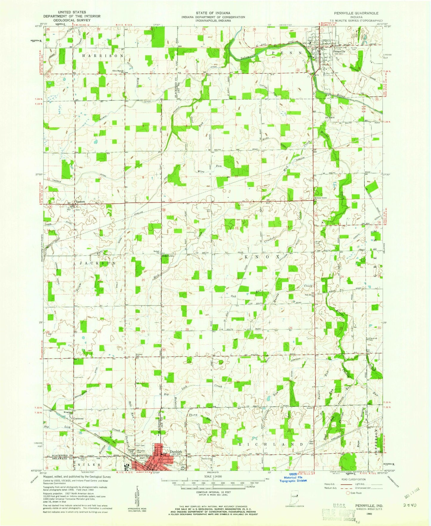
Historical USGS topographic quad map of Pennville in the state of Indiana. Map scale may vary for some years, but is generally around 1:24,000. Print size is approximately 24" x 27"
This quadrangle is in the following counties: Blackford, Delaware, Jay.
The map contains contour lines, roads, rivers, towns, and lakes. Printed on high-quality waterproof paper with UV fade-resistant inks, and shipped rolled.
Contains the following named places: Allman Ditch, Bales Ditch, Belt Run, Bethel Church, Bit Run, Boot Run, Brooks Creek, Buckles Cemetery, Buckles Run, Claycomb Cemetery, Converse, Corrode Run, Corwin Ditch, Cowboy Run, Crooked Creek, Daily Ditch, Dunkirk, Dunkirk Drain, Dunkirk Fire Department, Gronendyke Ditch, Harris Creek, Hickman Ditch, Hickory Grove Church, Hillside Cemetery, Holster Creek, Hudson Ditch, Independent Order of Odd Fellows Cemetery, Jay County Emergency Medical Services - Dunkirk, Jones Ditch, Kesler Field, Kingsley Church, Landon Ditch, Lupton Ditch, Maple Lawn Cemetery, Mount Tabor Cemetery, Mud Creek, Oak Grove Church, Oak Run, Olive Branch, Olive Branch Church, Oval Run, Pennville, Pennville Police Department, Pennville Post Office, Pennville Volunteer Fire Department, Phillips Run, Priam Run, Ridertown, Rope Branch, Rust Ditch, Rustic Run, Smith Hartman Ditch, Thong Run, Town of Pennville, Township of Knox, Trenton, Twin Hill Cemetery, Twomile Ditch, Wayman Cemetery, Whitacre Ditch, Winters Cemetery, Wire Run, ZIP Code: 47336