MyTopo
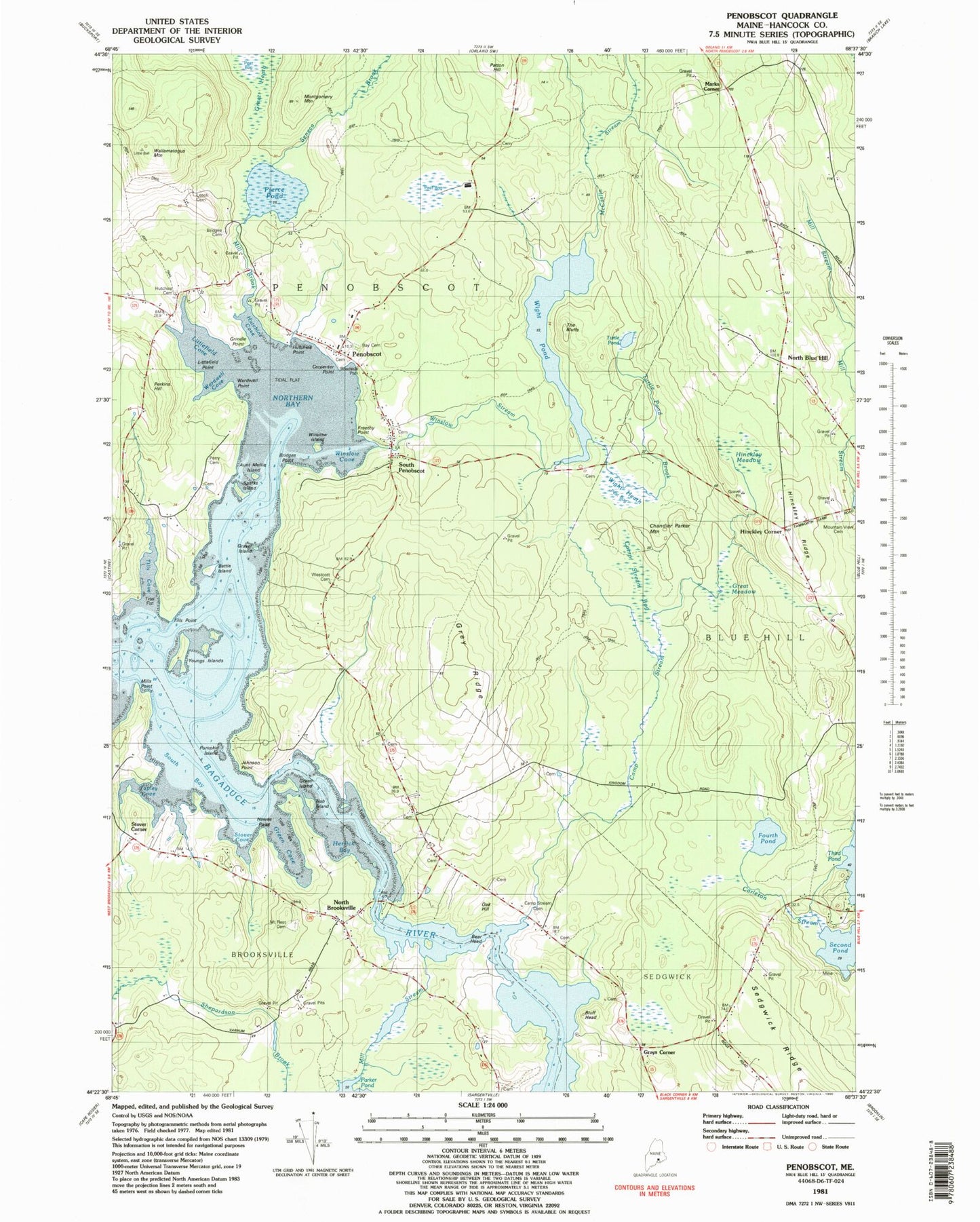
Classic USGS Penobscot Maine 7.5'x7.5' Topo Map
Couldn't load pickup availability
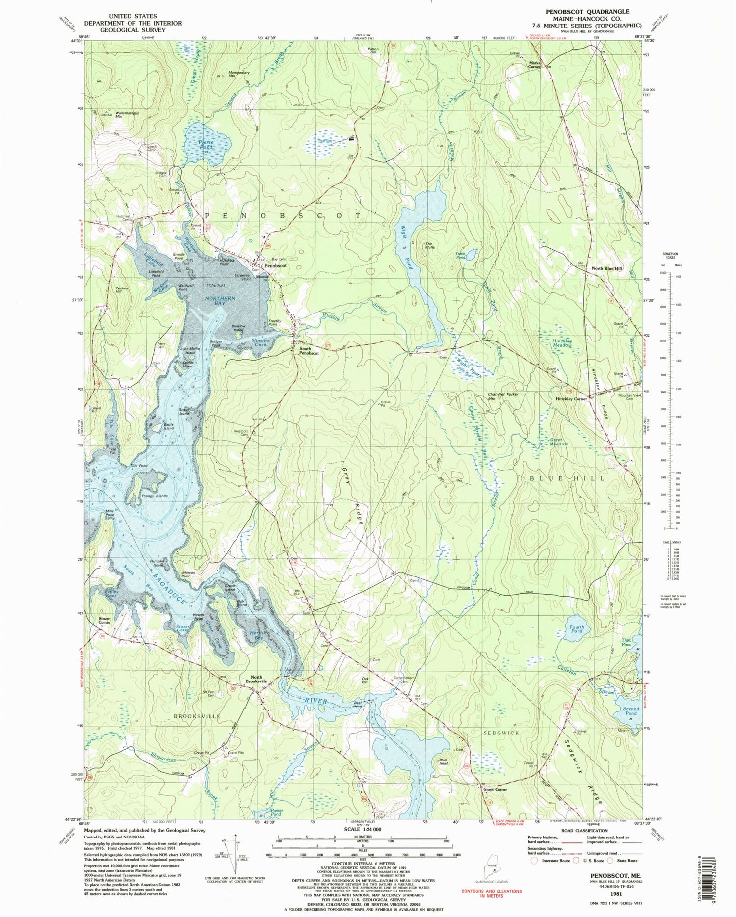
Historical USGS topographic quad map of Penobscot in the state of Maine. Map scale may vary for some years, but is generally around 1:24,000. Print size is approximately 24" x 27"
This quadrangle is in the following counties: Hancock.
The map contains contour lines, roads, rivers, towns, and lakes. Printed on high-quality waterproof paper with UV fade-resistant inks, and shipped rolled.
Contains the following named places: Aunt Mollie Island, Bagaduce Falls, Bagaduce River, Battle Island, Bay Cemetery, Bear Head, Bluff Head, Bridges Cemetery, Bridges Point, Brooksville Volunteer Fire Department Station 2, Camp Stream, Camp Stream Bog, Camp Stream Cemetery, Carpenter Point, Chandler Parker Mountain, Fourth Pond, Freethy Point, Gravel Island, Gray Cemetery, Gray Family Cemetery, Gray Ridge, Grays Corner, Great Meadow, Green Cove, Green Island, Grindle Point, Hawes Point, Hinckley Corner, Hinckley Meadow, Hinckley Ridge, Hutchins Cemetery, Hutchins Cove, Hutchins Point, Johnson Point, Leach Cemetery, Littlefield Cove, Littlefield Point, Marks Corner, McCaslin Stream, Mill Brook, Mills Point, Mount Rest Cemetery, Mountain View Cemetery, North Blue Hill, North Brooksville, Northern Bay, Oak Hill, Penobscot, Penobscot Church, Penobscot Community School, Penobscot Post Office, Penobscot United Methodist Church, Penobscot Volunteer Fire Department Main Station, Penobscot Volunteer Fire Department Storage, Perkins - Westcott Cemetery, Perkins Hill, Perry Cemetery, Pierce Pond, Pumpkin Island, Second Pond, Seneca Brook, South Bay, South Penobscot, South Penobscot Cemetery, Sparks Island, Stover Corner, Stover Cove, Tapley Cove, The Bluffs, Tills Cove, Tills Point, Town of Penobscot, Turtle Pond, Turtle Pond Brook, Wallamatogus Mountain, Wardwell Cove, Wardwell Point, Wight Heath, Wight Pond, Winslow Cove, Winslow Island, Winslow Stream, Youngs Islands, ZIP Code: 04476


