MyTopo
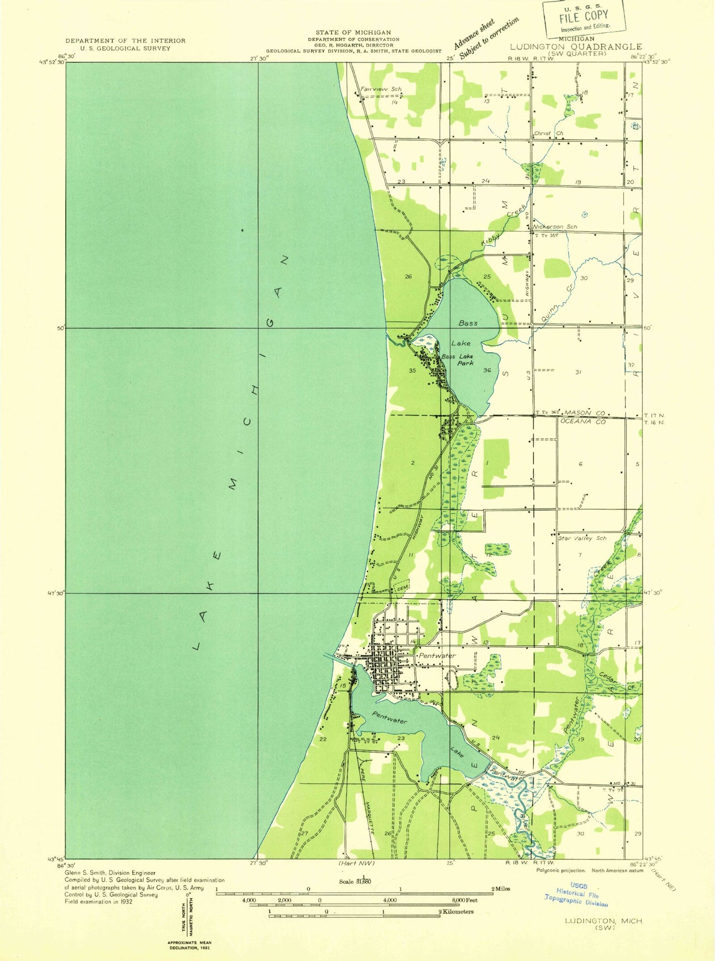
Classic USGS Pentwater Michigan 7.5'x7.5' Topo Map
Couldn't load pickup availability
Historical USGS topographic quad map of Pentwater in the state of Michigan. Map scale may vary for some years, but is generally around 1:24,000. Print size is approximately 24" x 27"
This quadrangle is in the following counties: Mason, Oceana.
The map contains contour lines, roads, rivers, towns, and lakes. Printed on high-quality waterproof paper with UV fade-resistant inks, and shipped rolled.
Contains the following named places: Baptist Church of Pentwater, Bass Lake, Basslake Post Office, Big Bayou, Cedar Creek, Centenary United Methodist Church, Channel Lake Park, Charles Mears State Park, Driftwood Golf Course, Dumaw Creek, Fairview Post Office, French Town, Grace Church, Graveyard of Ships Historical Marker, Hill and Hollow Campground, Kibby Creek, Kibby Creek Travel Park, Lakewood Mobile Home Park, Lighthouse Lutheran Church, Little Bayou, Ludington Rest Area, Mears State Park Campground, Meisenheimer Corners, Mud Creek, North Branch Pentwater River, Oceana County Emergency Ambulance Services Station 3, Pentwater, Pentwater Family Practice Clinic, Pentwater Fire Department, Pentwater Lake, Pentwater Oil Field, Pentwater Police Department, Pentwater Post Office, Pentwater Public School, Pentwater River, Pentwater Station, Pentwater Township Cemetery, Pentwater Township Library, Quinn Creek, Rentwater River State Game Area, Saint James Episcopal Church, Saint Vincents Church, Snug Harbor Marina, South Summit School, Summit Church, Township of Pentwater, Township of Summit, Veterans Day Storm Historical Marker, Village Green and Gazebo, Village of Pentwater, Watson Creek, Whispering Surf Camping Resort, ZIP Code: 49449


