MyTopo
Classic USGS Peoria Mississippi 7.5'x7.5' Topo Map
Couldn't load pickup availability
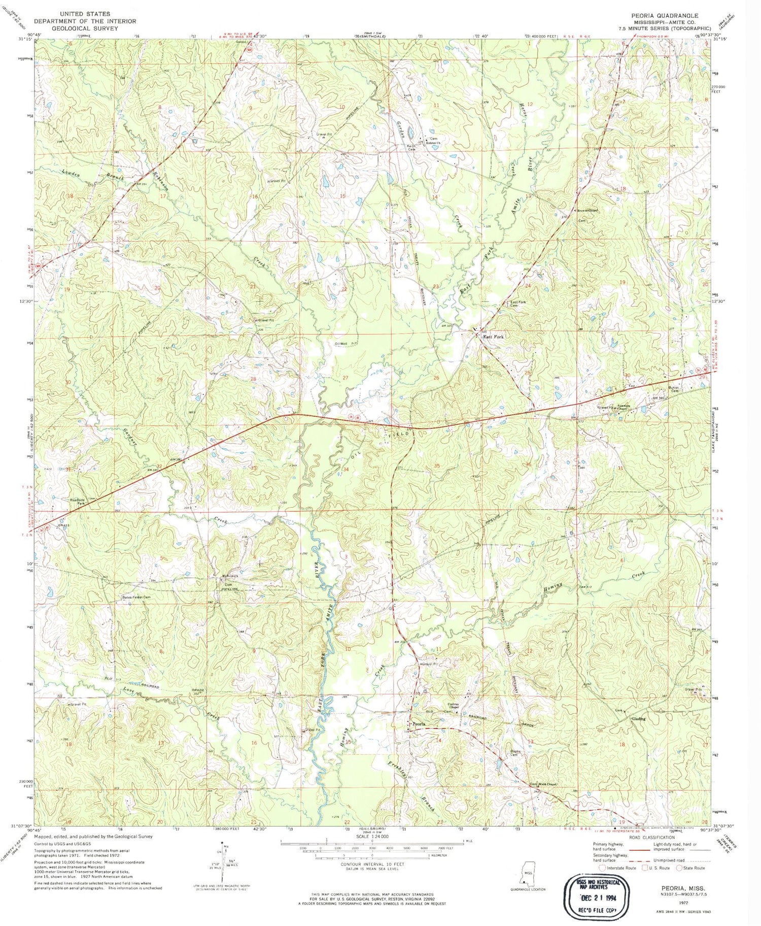
Historical USGS topographic quad map of Peoria in the state of Mississippi. Map scale may vary for some years, but is generally around 1:24,000. Print size is approximately 24" x 27"
This quadrangle is in the following counties: Amite.
The map contains contour lines, roads, rivers, towns, and lakes. Printed on high-quality waterproof paper with UV fade-resistant inks, and shipped rolled.
Contains the following named places: Bates Mill Bridge, Bates-Felder Cemetery, Bostic Cemetery, Brown Chapel Cemetery, Browns Chapel, Brumfield-Whittington Cemetery, Burris Cemetery, Butler - Martin Cemetery, Cochran Chapel, Cockerham Cemetery, Dickey Water Mill, East Central Volunteer Fire Department, East Fork, East Fork Baptist Church, East Fork Cemetery, Fairview School, Felder, Felder Cemetery, Freshley Branch, Gardner Creek, Gardner-McKnight Cemetery, Gardner-O'Brien Cemetery, Garner Cemetery, Glading, Glading Baptist Church, Glading Cemetery, Gordon Creek, Hamilton Cemetery, Hebron, Hebron Baptist Church, Hebron Cemetery, Hominy Creek, Honea Cemetery, Horse Creek, Hughey Cemetery, James Chandler Cemetery, Johns Cemetery, Keith Cemetery, Little Cemetery, Lowden Branch, Marshalton, Moses Robinson Cemetery, Mount Sinai Baptist Church, Mount Sinai Cemetery, Nunnery Store, Peoria, Quin Cemetery, Robinson Baptist Church, Robinson Cemetery, Robinson Creek, Robinson-McElvin Cemetery, Spurlocks, Summers Chapel, Supervisor District 4, Webb Chapel, Webb Chapel Cemetery, Young - Garner Cemetery


