MyTopo
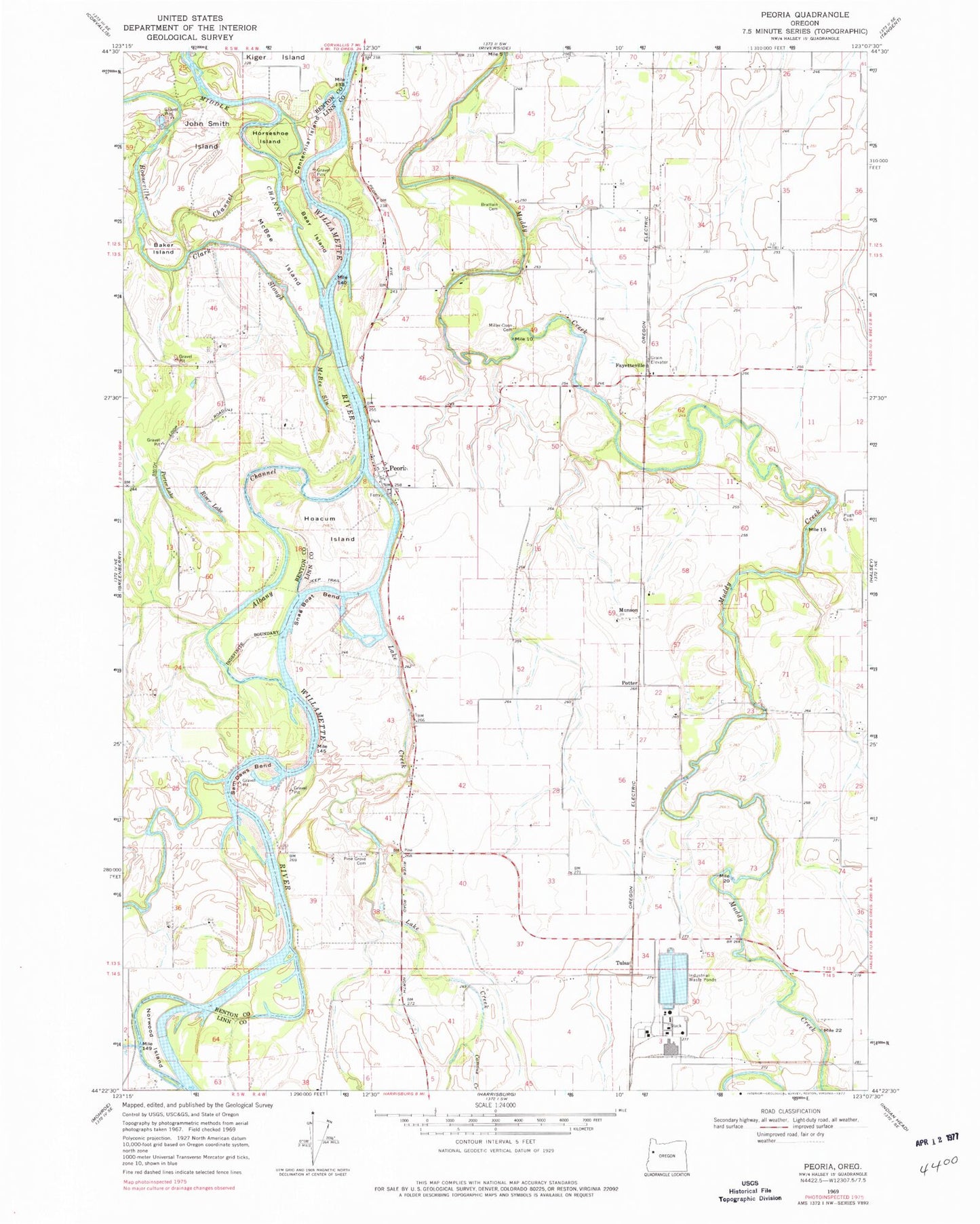
Classic USGS Peoria Oregon 7.5'x7.5' Topo Map
Couldn't load pickup availability
Historical USGS topographic quad map of Peoria in the state of Oregon. Map scale may vary for some years, but is generally around 1:24,000. Print size is approximately 24" x 27"
This quadrangle is in the following counties: Benton, Linn.
The map contains contour lines, roads, rivers, towns, and lakes. Printed on high-quality waterproof paper with UV fade-resistant inks, and shipped rolled.
Contains the following named places: Albany Channel, American, Baker Island, Bear Island, Bellplain, Brattain Cemetery, Burlington, Burlington Post Office, Camous Creek, Centennial Island, Clark Slough, Faybell, Fayetteville, Halsey Sewage Treatment Facility, Hoacum Island, Horseshoe Island, Jacobs Bend, Jim's Airstrip, Johnston Slough, Lake Creek, Long Tom River, McBee Island, McBee Slough, Miller - Coon Cemetery, Munson, Norwood Island, Peoria, Peoria Census Designated Place, Peoria County Park, Peoria County Park Boat Ramp, Peoria Post Office, Peoria Station 53, Pine Grove Cemetery, Porter Lake, Potter, Pugh Cemetery, Pugh Landing Strip, Riser Lake, Sam Daws Bend, Schrock Airport, Snag Boat Bend, Texaco Refining and Marketing, Tulsa


