MyTopo
Classic USGS Percy Mississippi 7.5'x7.5' Topo Map
Couldn't load pickup availability
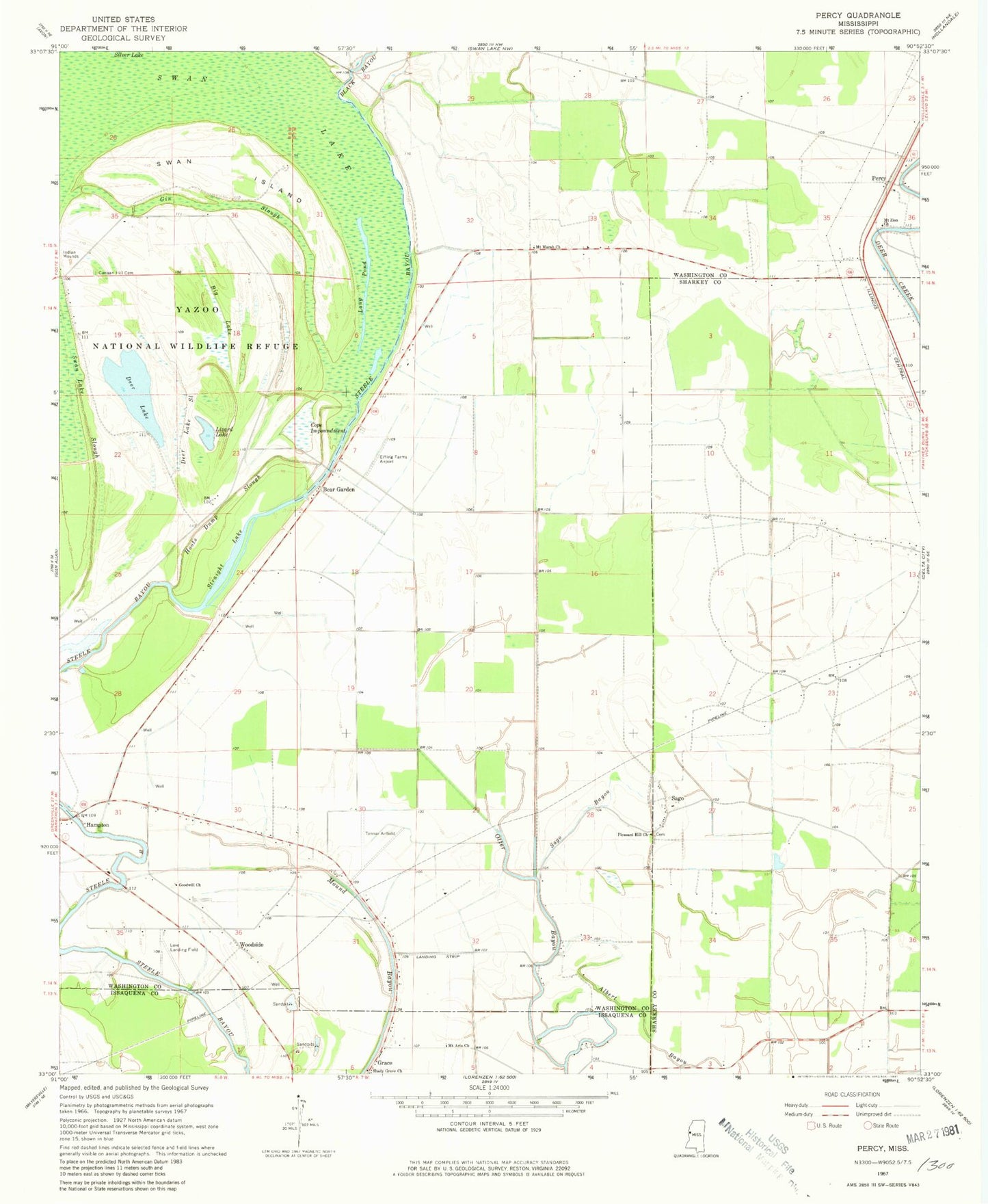
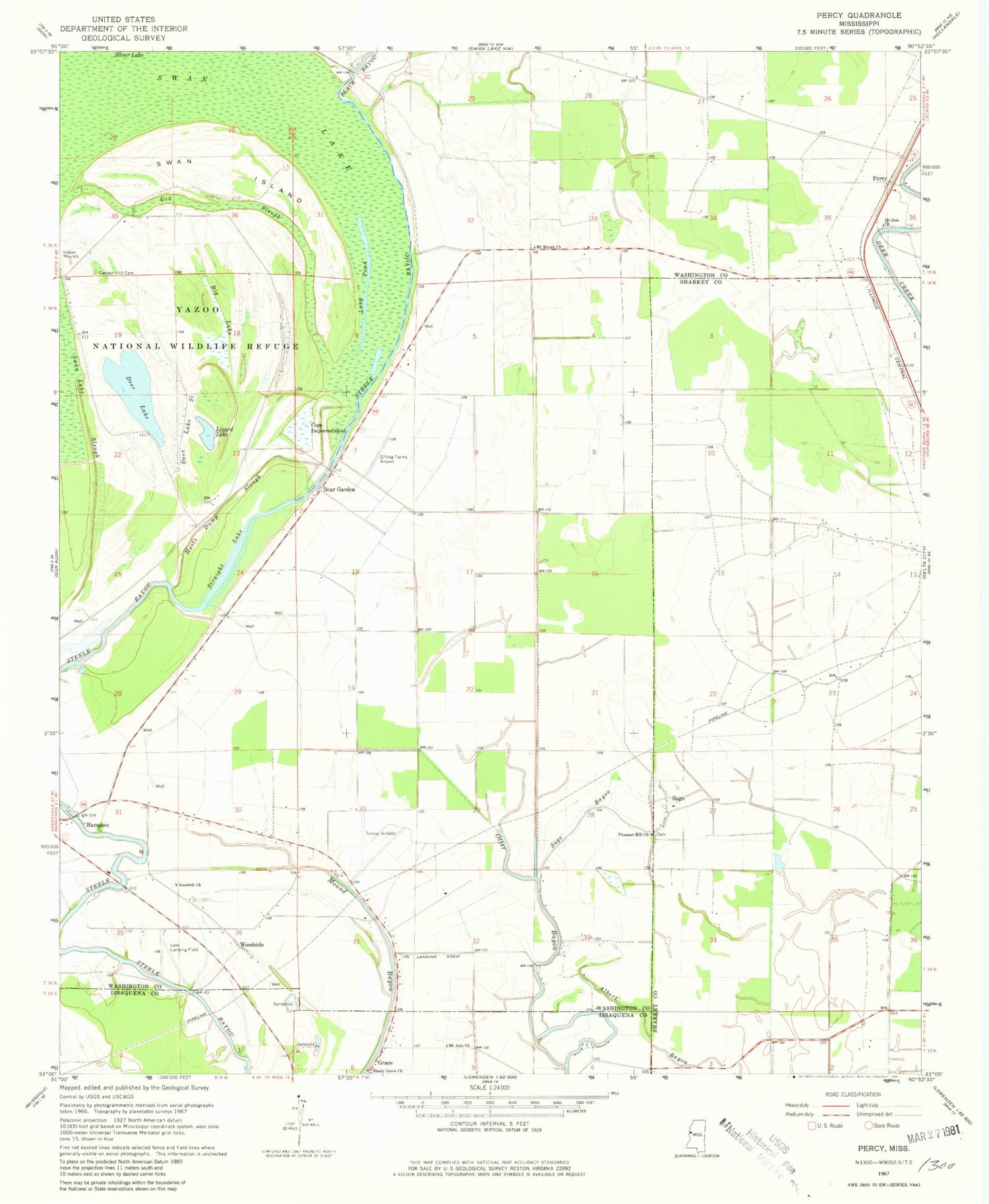
Historical USGS topographic quad map of Percy in the state of Mississippi. Map scale may vary for some years, but is generally around 1:24,000. Print size is approximately 24" x 27"
This quadrangle is in the following counties: Issaquena, Sharkey, Washington.
The map contains contour lines, roads, rivers, towns, and lakes. Printed on high-quality waterproof paper with UV fade-resistant inks, and shipped rolled.
Contains the following named places: Albert Bayou, Bear Garden, Big Lake, Black Bayou, Canaan Hill Cemetery, Canyon Hill Church, Cope Impoundment, Deer Lake, Deer Lake Slough, Eifling Farms Airport, Gin Slough, Goodwill Church, Hoots Dump Slough, Lizard Lake, Long Pond, Mount Aria Church, Mount Marah Church, Mount Zion Church, Percy, Pleasant Hill Church, Sago, Sago Bayou, Shady Grove Church, Spencer, Straight Lake, Swan Island, Tanglewood Plantation, Tonnar Airport, Woodside, Yazoo National Wildlife Refuge, Zion Traveler Church


