MyTopo
Classic USGS Perez California 7.5'x7.5' Topo Map
Regular price
$16.95
Regular price
Sale price
$16.95
Unit price
per
Couldn't load pickup availability
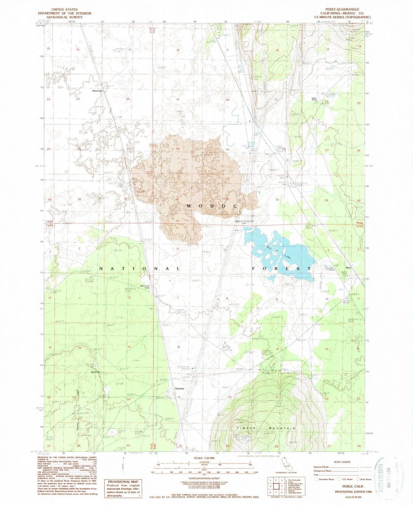
Historical USGS topographic quad map of Perez in the state of California. Map scale may vary for some years, but is generally around 1:24,000. Print size is approximately 24" x 27"
This quadrangle is in the following counties: Modoc.
The map contains contour lines, roads, rivers, towns, and lakes. Printed on high-quality waterproof paper with UV fade-resistant inks, and shipped rolled.
Contains the following named places: Ainshea Butte, Battle of Dry Lake 1873, Dalton Ranch, Dry Lake, Dry Lake Forest Service Station, Dry Lake Guard Station, Grandview School, Mammoth, Negro Ben Spring, Newell Division, Perez, Timber Mountain, Tionesta, Tionesta Post Office