MyTopo
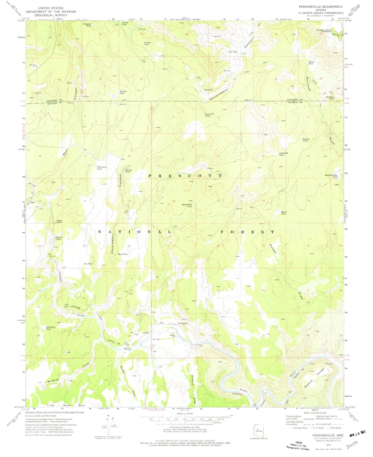
Classic USGS Perkinsville Arizona 7.5'x7.5' Topo Map
Couldn't load pickup availability
Historical USGS topographic quad map of Perkinsville in the state of Arizona. Map scale may vary for some years, but is generally around 1:24,000. Print size is approximately 24" x 27"
This quadrangle is in the following counties: Coconino, Yavapai.
The map contains contour lines, roads, rivers, towns, and lakes. Printed on high-quality waterproof paper with UV fade-resistant inks, and shipped rolled.
Contains the following named places: Archibald Tank, Bear, Bear Railroad Station, Black Hills Tank, Boggy Tank, Bull Tank, Canyon Tank, Coyote Tank, Gale Tank, Government Canyon, Hieneken Tank, Horney Tank, Horseshoe Canyon, Jimmy Tank, Little Sand Tank, Mark Tank, Mexican Tank, Mormon Pocket, Munds Draw, Munds Trick Tank, Orchard Draw, Pass Tank, Perkinsville, Perkinsville Railroad Station, Rafael Draw, Rafael Tank, Railroad Draw Tank, Sand Flat, Sand Flat Tank, Sand Trap Tank, Smokey Tank, Telephone Draw Tank, Trestle Tank, Vineyard Tank, Wildcat Draw, Witty Tom Tank


