MyTopo
Classic USGS Perry Kansas 7.5'x7.5' Topo Map
Couldn't load pickup availability
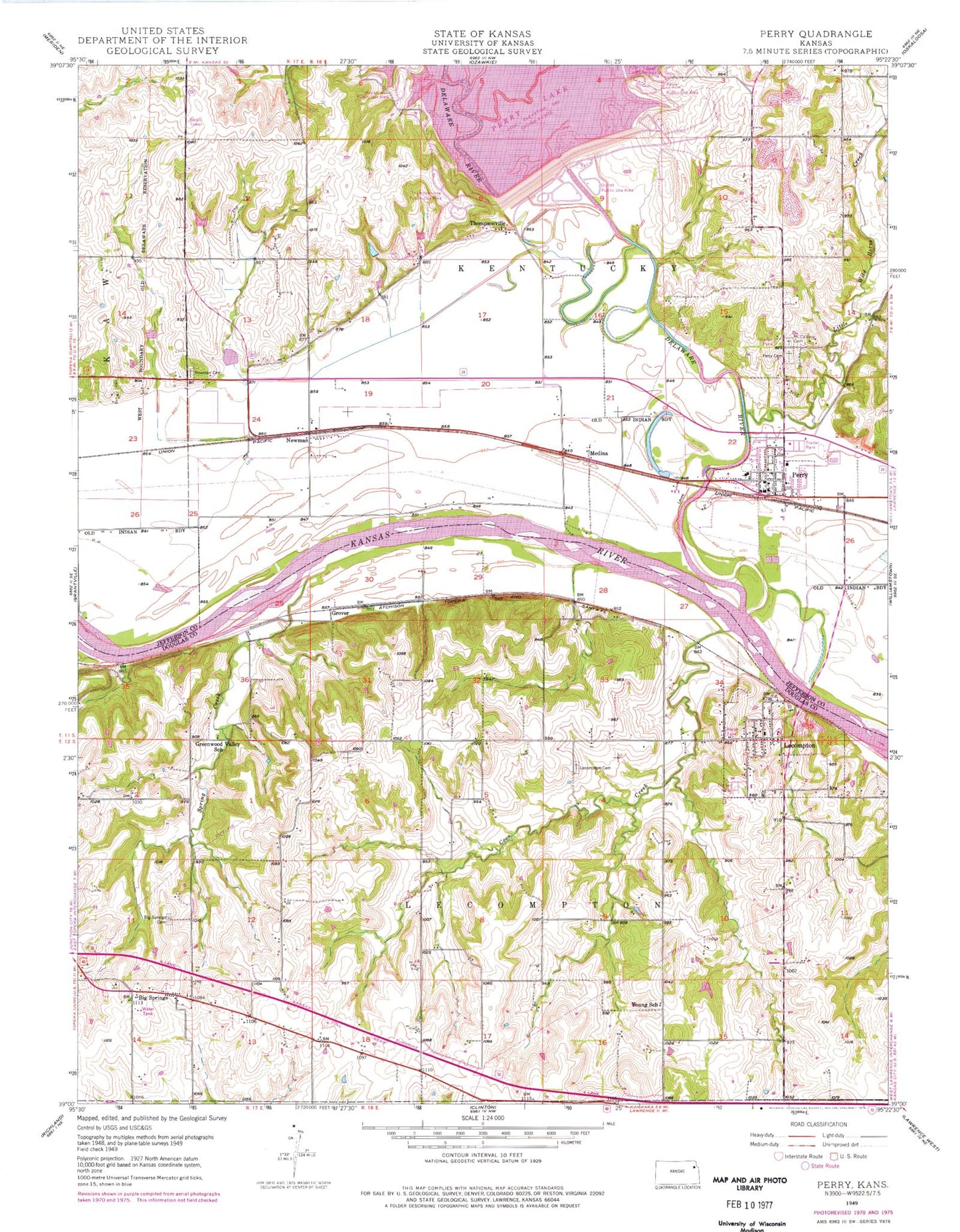
Historical USGS topographic quad map of Perry in the state of Kansas. Typical map scale is 1:24,000, but may vary for certain years, if available. Print size: 24" x 27"
This quadrangle is in the following counties: Douglas, Jefferson.
The map contains contour lines, roads, rivers, towns, and lakes. Printed on high-quality waterproof paper with UV fade-resistant inks, and shipped rolled.
Contains the following named places: Rock Creek Public Use Area, Township of Kentucky, Little Wild Horse Creek, Slough Creek, Young School (historical), East View - Big Springs Cemetery, Greenwood Valley School (historical), Maple Grove - Lecompton Cemetery, Lecompton, Spring Creek, Coon Creek, Newman, Perry, Oak Ridge Cemetery, Mount Calvary Cemetery, Thompsonville Public Use Area, Thompsonville, Outlet Public Use Area, Township of Lecompton, Perry Dam, Perry - Lecompton High School, Perry Public Use Area, Coon Point, Grover, Medina, Big Springs, Delaware River, Newman Cemetery, Jefferson County Fire Department 2 Perry, Lecompton Township Fire / Emergency Medical Services Station 1, Lecompton Township Fire Station 2, City of Lecompton, City of Perry, Perry-Lecompton Unified School District Office, Perry Police Department, Perry Elementary School, Perry - Lecompton Middle School, Lecompton Elementary School, Lecompton Post Office, Saint Theresa Church, Perry Post Office, Kansas Territorial Capital - Lane Museum, Mobile Lodge of Lecompton, Perry Plaza Court Mobile Home Park, Lake Perry Yacht and Marina by the Dam, Perry Wastewater Treatment Facility, Constitution Hall State Historic Site, Lecompton Sewage Treatment Plant, KJTY - FM (Topeka), Saint Peters Cemetery, Medina Cemetery


