MyTopo
Classic USGS Perry Michigan 7.5'x7.5' Topo Map
Couldn't load pickup availability
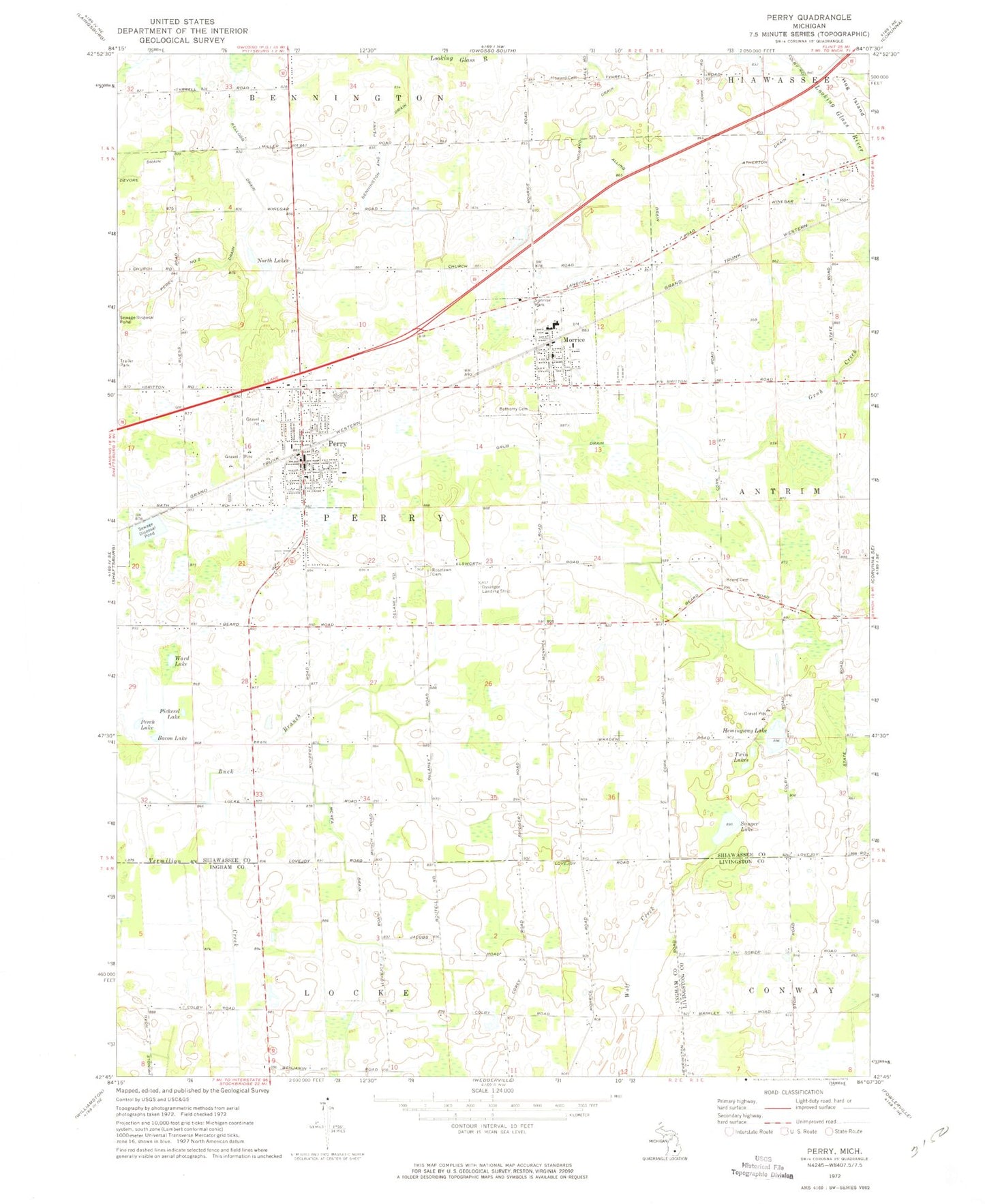
Historical USGS topographic quad map of Perry in the state of Michigan. Map scale may vary for some years, but is generally around 1:24,000. Print size is approximately 24" x 27"
This quadrangle is in the following counties: Ingham, Livingston, Shiawassee.
The map contains contour lines, roads, rivers, towns, and lakes. Printed on high-quality waterproof paper with UV fade-resistant inks, and shipped rolled.
Contains the following named places: Alling Drain, Atherton Drain, Bacon Lake, Beard Cemetery, Bennington and Perry Drain, Bethany Bible Church, Bethemy Cemetery, Buck Branch, Church of Nazarene, City of Perry, Dysinger Airport, Family Christian Church, Glenbrier Golf Course, Grub Drain, Hemingway Lake, Hog Island, Howard Cemetery, Howard Drain, Kellogg Drain, McCrea Drain, Morrice, Morrice Area Elementary School, Morrice Library, Morrice Police Department, Morrice Post Office, Morrice Senior High School, Morrice Station, Morrice United Methodist Church, North Lakes, Old Perry Centre Historical Marker, Our Saviour's Lutheran Church, Perch Lake, Perry, Perry Area Fire Rescue, Perry Area Fire Rescue Station 2, Perry Baptist Church, Perry Cemetery, Perry City Hall, Perry Congregational Christian Church, Perry Elementary School, Perry Family Practice, Perry Free Methodist Church, Perry High School, Perry Historical Musuem, Perry Jubilee Park, Perry Library, Perry Middle School, Perry Police Department, Perry Post Office, Perry Station, Perry United Methodist Church, Pickerel Lake, Rose Lawn Cemetery, Saint Mary's Church, Saint Mary's Church Historical Marker, Sauger Lake, Sunrise Park, Township of Perry, Twin Lakes, Village of Morrice, Ward Lake, World Harvest Assembly of God Church, ZIP Codes: 48857, 48872


