MyTopo
Classic USGS Perryville West Missouri 7.5'x7.5' Topo Map
Couldn't load pickup availability
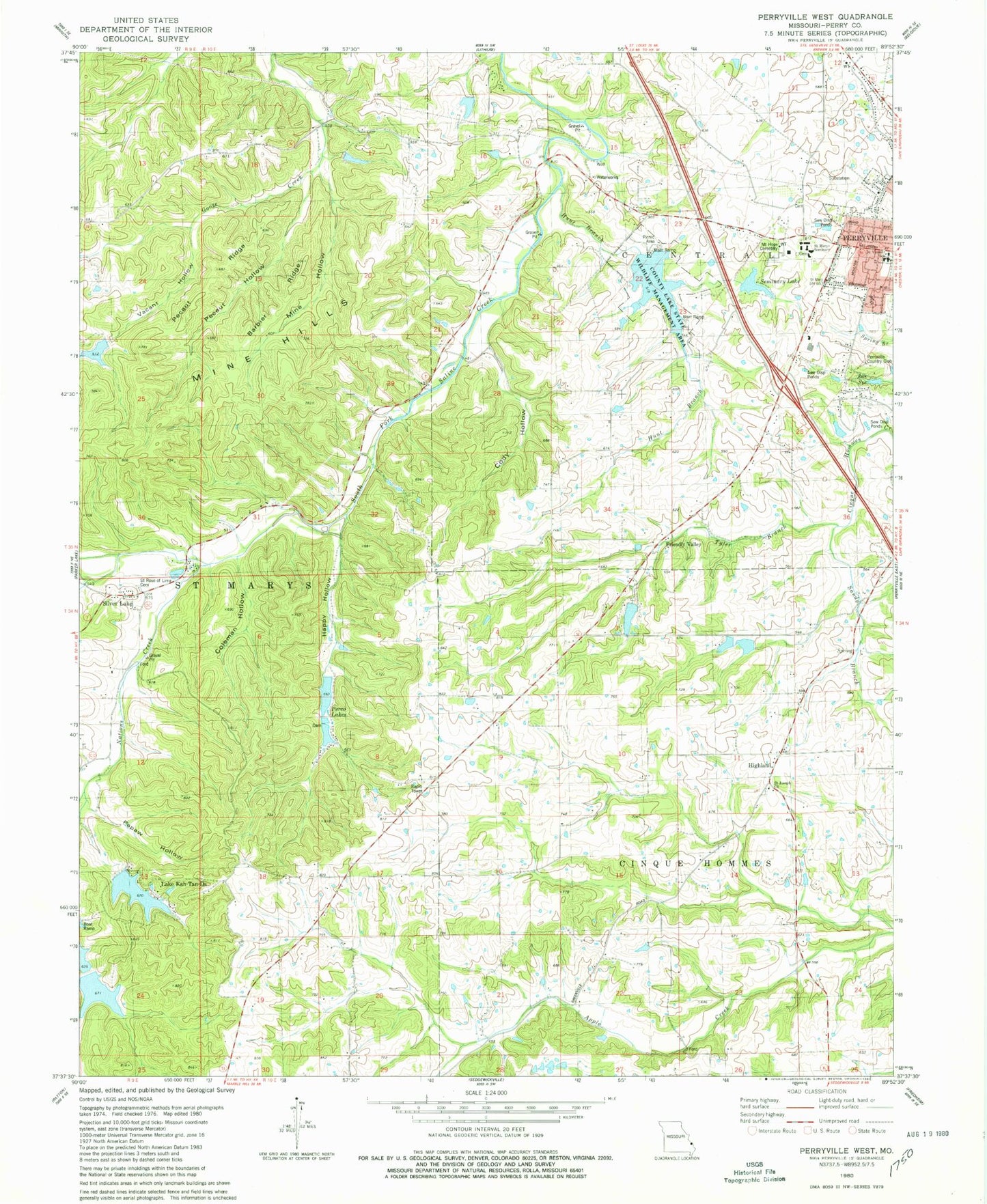
Historical USGS topographic quad map of Perryville West in the state of Missouri. Map scale may vary for some years, but is generally around 1:24,000. Print size is approximately 24" x 27"
This quadrangle is in the following counties: Perry.
The map contains contour lines, roads, rivers, towns, and lakes. Printed on high-quality waterproof paper with UV fade-resistant inks, and shipped rolled.
Contains the following named places: Barbier Ridge, City of Perryville, Cody Hollow, Colonial Acres Lake, Colonial Acres Lake Dam, County Lake State Wildlife Management Area, Eddleman Lake Dam, Friendly Valley, Happy Hollow, Hickory Hollow Lake Dam, Highland, Highland School, Hunt Branch, Hunt School, Kuhlman Hollow, Lake Kah-Tan-Da, Lake Kah-Tan-Da Dam, Legion Lake, Legion Lake Dam, Mach Lake Dam, Marys Lake Dam, Mine Hills, Mine Hollow, Missouri Department of Conservation Forestry Southeast Regional Field Fire Office Perryville, Mount Hope Cemetery, Nations Creek, Number 19 Reservoir, Ollie Moore Lower Lake Dam, Papaw Hollow, Park Spring, Pecaut Hollow, Pecaut Ridge, Perco Lake North Dam, Perco Lake South Dam, Perco Lakes, Perry County Community Lake, Perry County Community Lake Dam, Perryville Country Club, Rock Valley School, Saint Joseph Church, Saint Marys Seminary, Saint Rosas Church, Saint Rose of Lima Cemetery, Saint Vincent School, Sandy Branch, Seminary Lake, Silver Lake, Sim Layton School, Tyler Branch, Vacant Hollow, Vicentian Community Cemetery, Wilhelm School, ZIP Code: 63775


