MyTopo
Classic USGS Perryville Arizona 7.5'x7.5' Topo Map
Couldn't load pickup availability
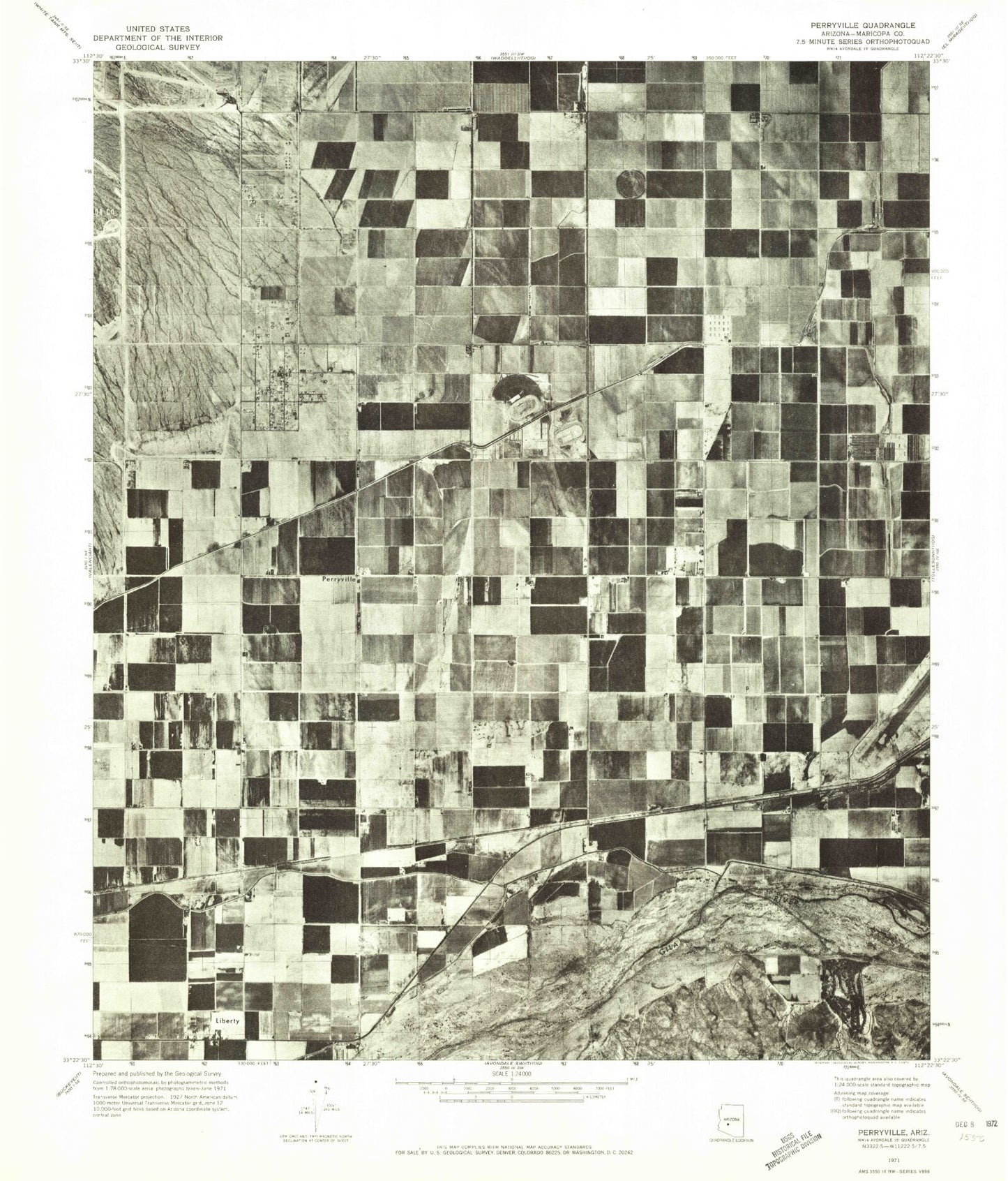
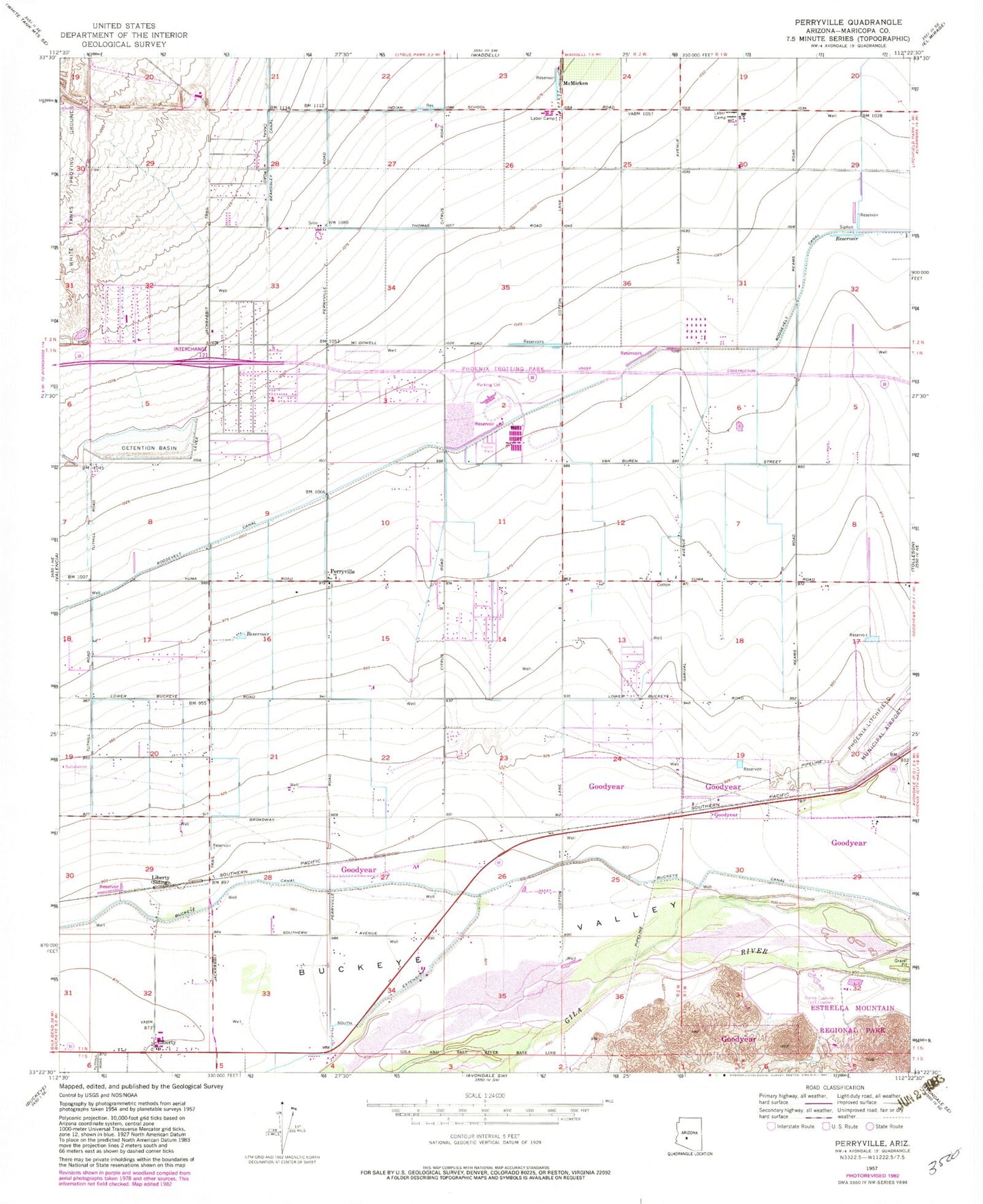
Historical USGS topographic quad map of Perryville in the state of Arizona. Map scale may vary for some years, but is generally around 1:24,000. Print size is approximately 24" x 27"
This quadrangle is in the following counties: Maricopa.
The map contains contour lines, roads, rivers, towns, and lakes. Printed on high-quality waterproof paper with UV fade-resistant inks, and shipped rolled.
Contains the following named places: 191st Avenue Wash, 85395, Arizona State Prison Complex - Perryville, Avondale Goodyear Post Office, Bullard Wash, Bulldozer Wash, Centerra Mirage STEM Academy, Christ Presbyterian Columbarium, Compass Church, Copper Trails Elementary School, Desert Edge High School, Desert Star School, Desert Thunder School, Destiny's Phoenix West Recreational Vehicle Resort, Eagles Nest Golf Club at Pebble Creek, Goodyear Fire Department Station 184, Goodyear Fire Department Station 185, Griggs, Harvest Baptist Church, Jackrabbit Trail Wash, Liberty, Liberty Elementary School, Liberty United Methodist Church, Lifeway Church, Marsh Airstrip, McMicken, Millennium High School, One Hundred Fifty-Seventh Avenue Water Treatment Plant, Osborn Road Wash, Perryville, Perryville Substation, Phoenix Trotting Park, Pima Substation, Saint Thomas Lutheran Church of Goodyear, Scott L Libby Elementary School, Sierra Estrella Golf Course, Skyway Church of the West Valley, The Church of Jesus Christ of Latter Day Saints, Tractor Wash, Tuthill Dike Wash, Verrado High School, West Valley Free Will Baptist Church, White Tank Dam Number Four, White Tank Southern Baptist Church, White Tanks Learning Center, Wildflower Accelerated Academy


