MyTopo
Classic USGS Perryville Arkansas 7.5'x7.5' Topo Map
Couldn't load pickup availability
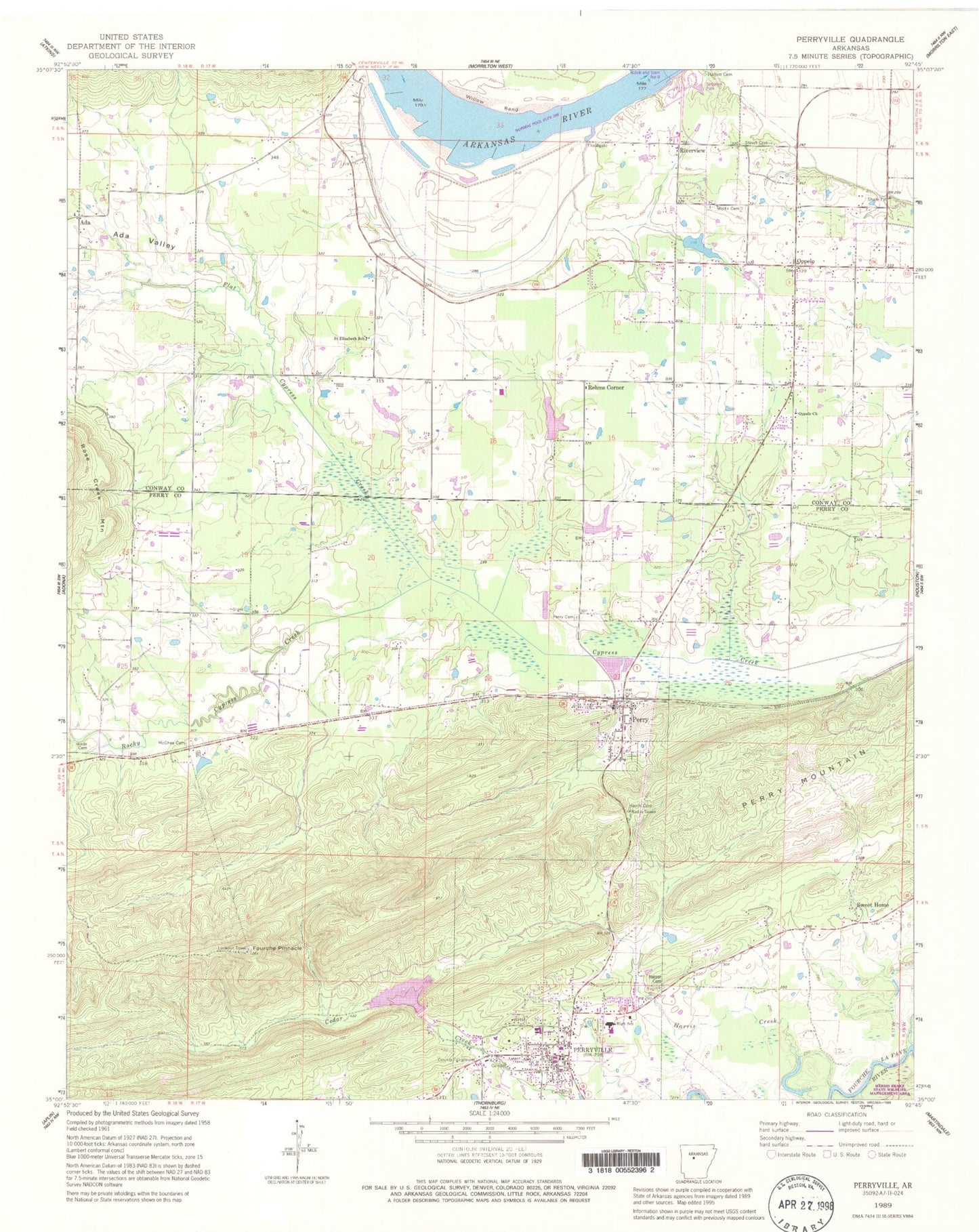
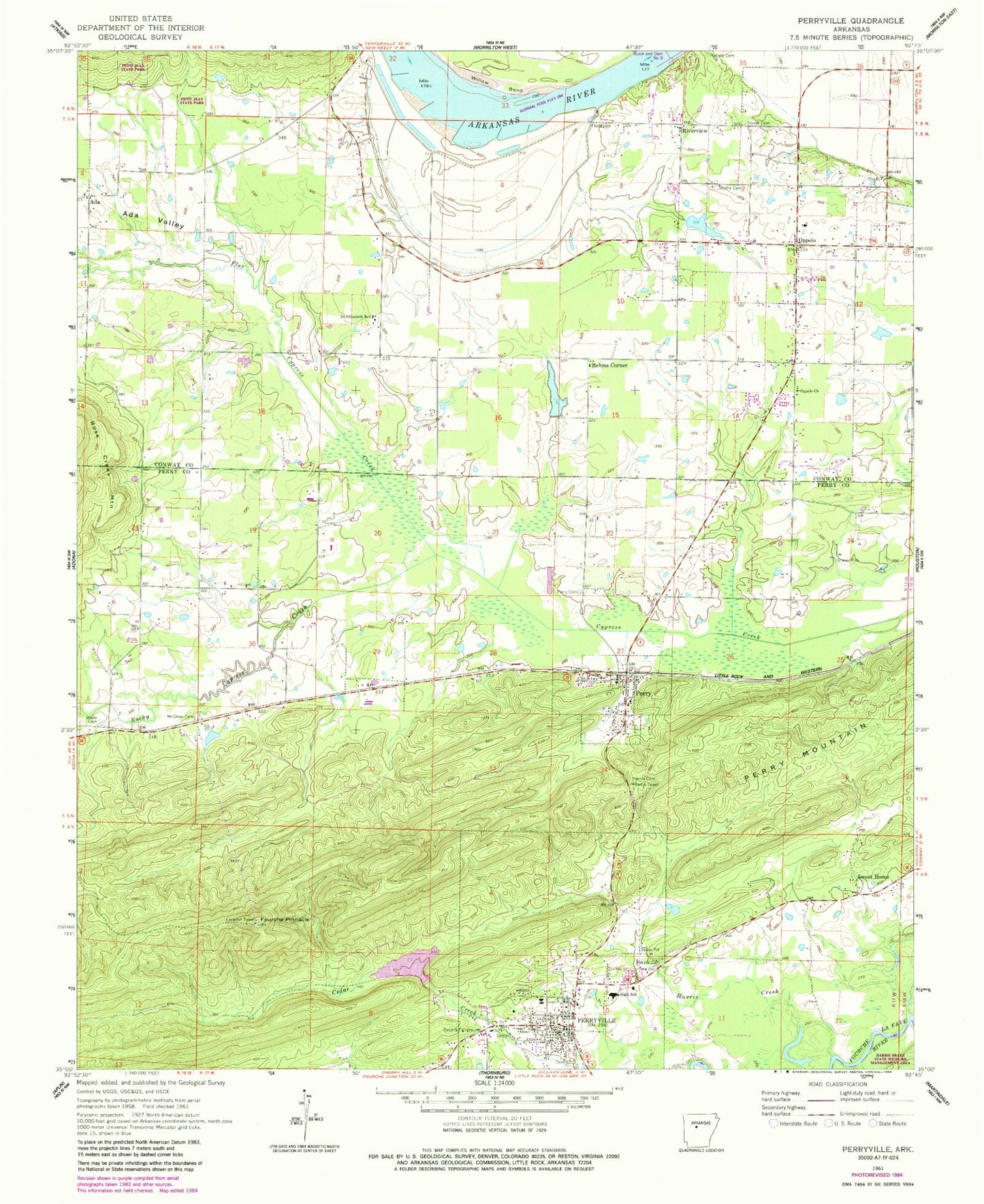
Historical USGS topographic quad map of Perryville in the state of Arkansas. Map scale may vary for some years, but is generally around 1:24,000. Print size is approximately 24" x 27"
This quadrangle is in the following counties: Conway, Perry.
The map contains contour lines, roads, rivers, towns, and lakes. Printed on high-quality waterproof paper with UV fade-resistant inks, and shipped rolled.
Contains the following named places: Ada, Ada Valley, Ada Valley Fire Station, Bellevue School, Brickey Private Airport, Buffalo School, City of Oppelo, City of Perryville, Crane Creek, Flat Cypress Creek, Fourche Pinnacle, Gems Ambulance Services, Hallett Cemetery, Harper Cemetery, Harris Cemetery, Harris Creek, Haydon Branch, McGhee Cemetery, Mount Carmel Church, Oppelo, Oppelo Church, Oppelo Police Department, Oppelo Volunteer Fire Station, Payne Lake, Payne Lake Dam, Perry, Perry Cemetery, Perry County Courthouse, Perry County Sheriff's Office, Perry Mountain, Perry Police Department, Perry Post Office, Perry Volunteer Fire Department, Perryville, Perryville Elementary School, Perryville High School, Perryville Police Department, Perryville Post Office, Perryville Volunteer Fire Department, Rehms Corner, Riverview, Rocky Cypress Creek, Saint Elizabeth School, Sequoya Park, South Fouche Site Seven Reservoir, Stover Cemetery, Sweet Home, Sweet Home School, Timberlake Dam, Timberlake Reservoir, Town of Perry, Township of Belle View, Township of Bentley, Township of Fourche Lafave, Township of Lake, Township of Martin, Township of Sweet Home, Wade Cemetery, Willow Bend, Wolfe Cemetery, Womack Lake, Womack Lake Dam, ZIP Code: 72125


