MyTopo
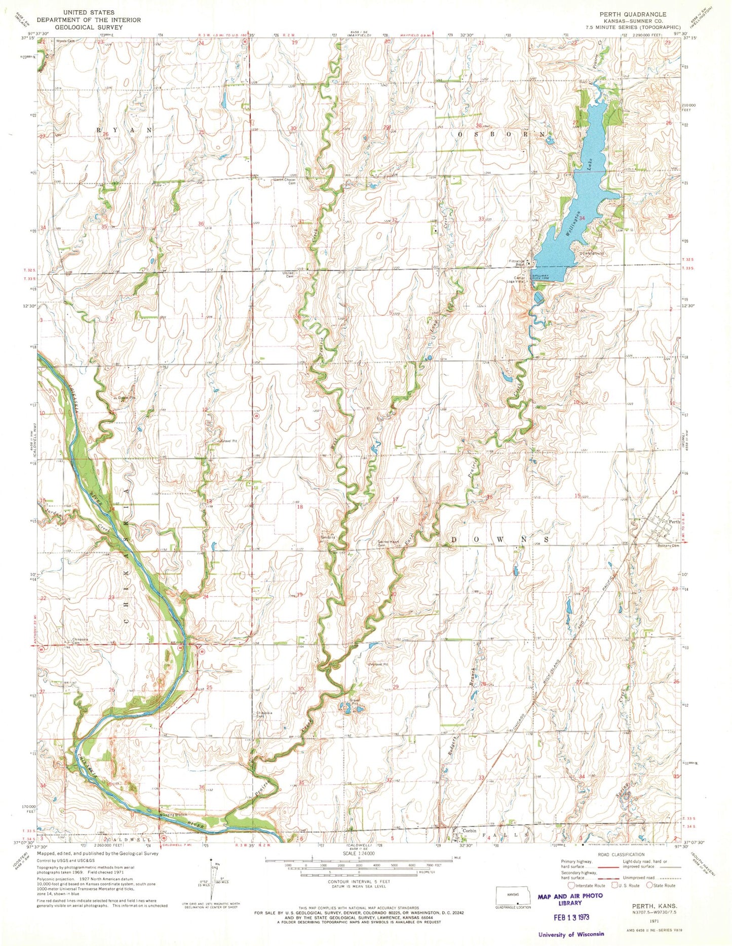
Classic USGS Perth Kansas 7.5'x7.5' Topo Map
Couldn't load pickup availability
Historical USGS topographic quad map of Perth in the state of Kansas. Map scale may vary for some years, but is generally around 1:24,000. Print size is approximately 24" x 27"
This quadrangle is in the following counties: Sumner.
The map contains contour lines, roads, rivers, towns, and lakes. Printed on high-quality waterproof paper with UV fade-resistant inks, and shipped rolled.
Contains the following named places: Bethany Cemetery, Camp Loga Vista, Chicaskia Cemetery, Chikaskia, Chikaskia Cemetery, Corbin, East Prairie Creek, Jordan Creek, Long Creek, Orie, Perth, Prairie Creek, Sacred Heart Cemetery, Sumner County Fire District 5 Caldwell, Township of Downs, Union Chapel Cemetery, Wellington City Dam, Wellington City Park, Wellington Lake, West Prairie Creek, Wood Cemetery