MyTopo
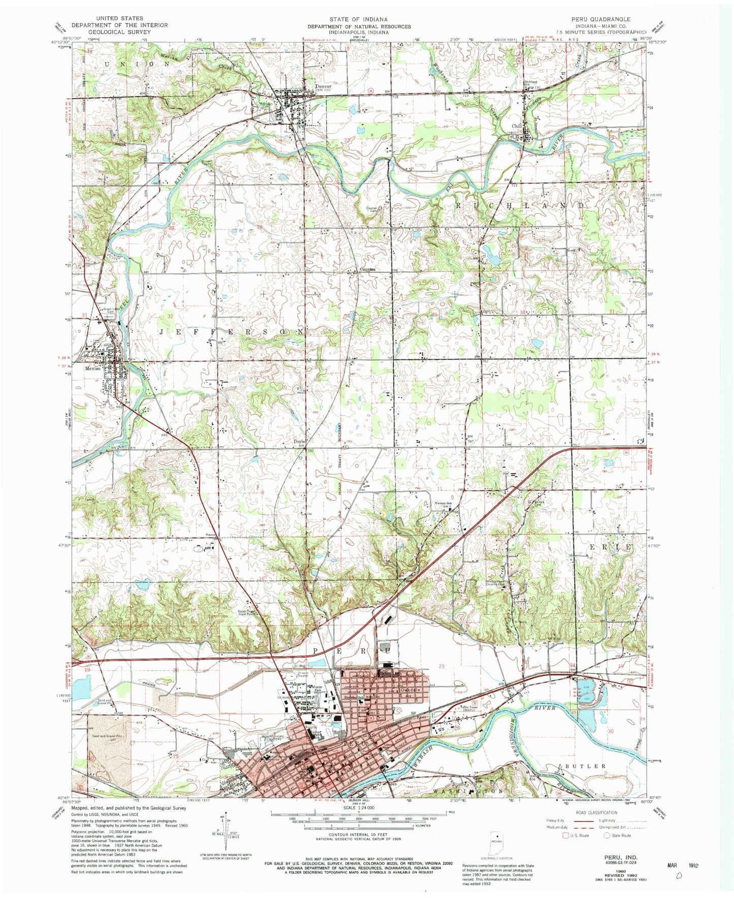
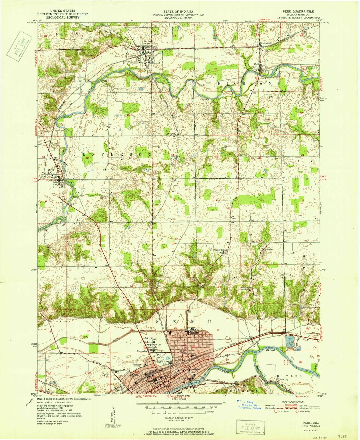
Classic USGS Peru Indiana 7.5'x7.5' Topo Map
Couldn't load pickup availability
Historical USGS topographic quad map of Peru in the state of Indiana. Typical map scale is 1:24,000, but may vary for certain years, if available. Print size: 24" x 27"
This quadrangle is in the following counties: Miami.
The map contains contour lines, roads, rivers, towns, and lakes. Printed on high-quality waterproof paper with UV fade-resistant inks, and shipped rolled.
Contains the following named places: Chili, Courter, Courter Cemetery, Daniel Creek, Denver, Doyle, Dukes Memorial Hospital, Elmwood Elementary School, Flowers Creek, Old German Baptist Cemetery, Lincoln Elementary School, Little Weesau Creek, Mexico, Mississinewa River, Mount Hope Cemetery, Oakdale, Peru, Prairie Ditch, Richland School, Ridgeview School, Saint Charles School, Saint John Lutheran School, Shrock Cemetery, Victory Elementary School, Washonis Creek, Weesau Creek, Westlawn Cemetery, Ridgeview, Peru High School, Central Elementary School, WARU-AM (Peru), WARU-FM (Peru), Rush Strip (historical), Benner Field (historical), Shrock Creek, Miami County, Missisinewa (historical), Mississinewa Country Club, Township of Jefferson, Township of Peru, Township of Richland, Mexico Census Designated Place, City of Peru, Town of Denver, Denver Volunteer Fire Department, Mexico Fire Department, Peru Fire Department Station 2, Kickapoo Stone Quarry, Miami County Sheriff's Office, Denver Town Marshal, Peru Police Department, Hidden Hills, Peru Post Office, Mexico Post Office, Denver Post Office