MyTopo
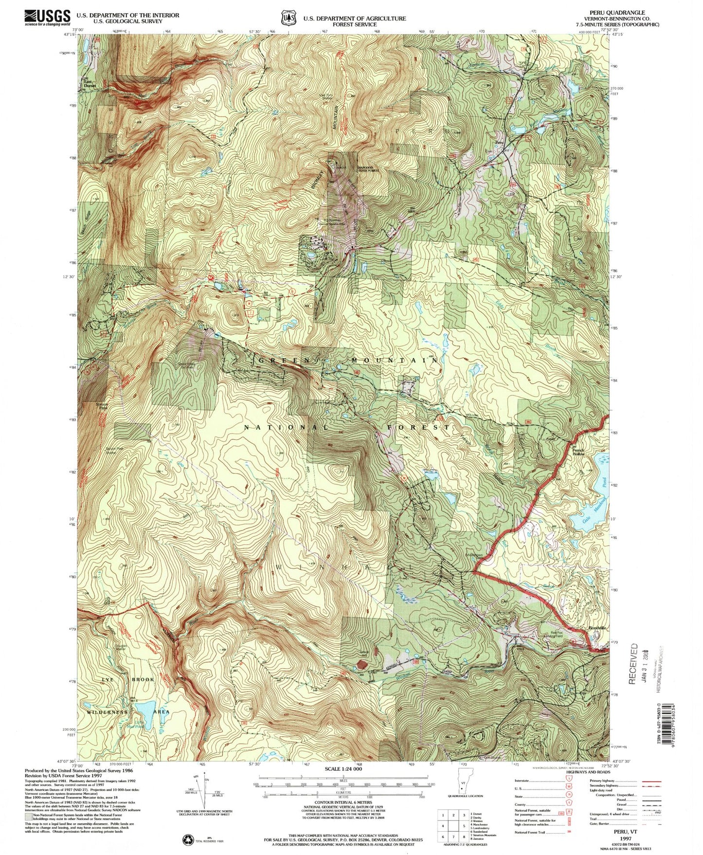
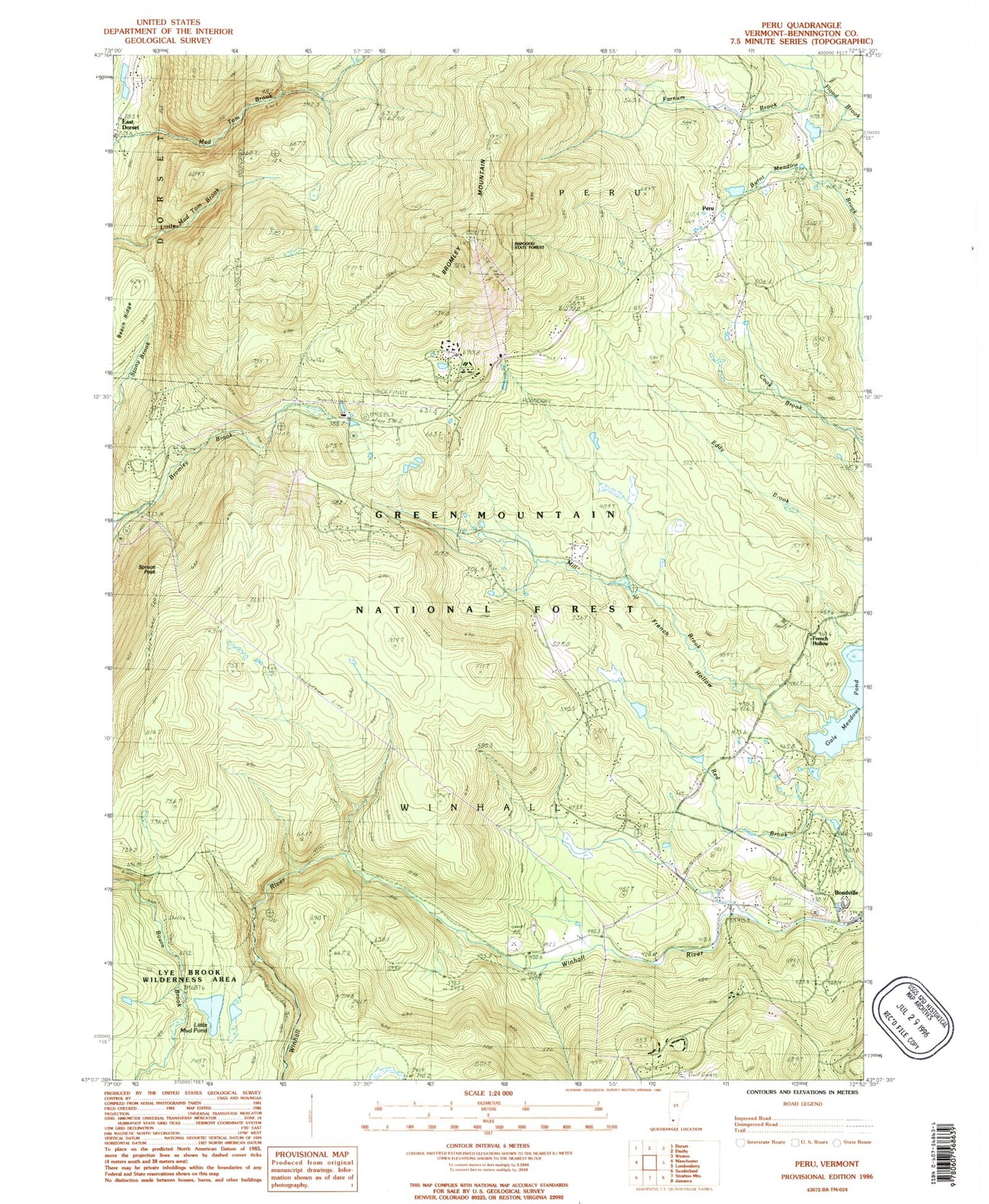
Classic USGS Peru Vermont 7.5'x7.5' Topo Map
Couldn't load pickup availability
Historical USGS topographic quad map of Peru in the state of Vermont. Typical map scale is 1:24,000, but may vary for certain years, if available. Print size: 24" x 27"
This quadrangle is in the following counties: Bennington.
The map contains contour lines, roads, rivers, towns, and lakes. Printed on high-quality waterproof paper with UV fade-resistant inks, and shipped rolled.
Contains the following named places: Beech Ridge, Bromley Mountain Ski Resort, Bromley Camp, Bromley Mountain, Farnum Brook, French Hollow, French Hollow, Grahamville School, Hapgood State Forest, Little Mud Pond, Mad Tom Trail, Middletown Cemetery, North Cemetery, Peru, Snow Valley Ski Area (historical), Spruce Peak, Swezey Camp, Douglas Shelter, Bromley Trail Hut, Mad Tom Shelter, Bondville, Red Fox Airport (historical), Town of Winhall, Farnum Dam, Bondville Cemetery, Bondville Post Office, Bondville Town Hall, Bromley Base Lodge, Bromley Ski Center, Bromley Village, Forest Farms, Intervale, Lyons Pond, Peru Congregational Church, Peru Post Office, Peru Town Center, Piper Ridge, Snow Valley Ski Center, Stratton Acres, Stratton Mountain Golf Course, Stratton Mountain Ski Center, Stratton Valley, Strattonwald, Village Cemetery, Vermont Ventures, Peru Volunteer Fire Company, Winhall Fire Department, Mountain School at Winhall, Winhall Police and Rescue Squad


