MyTopo
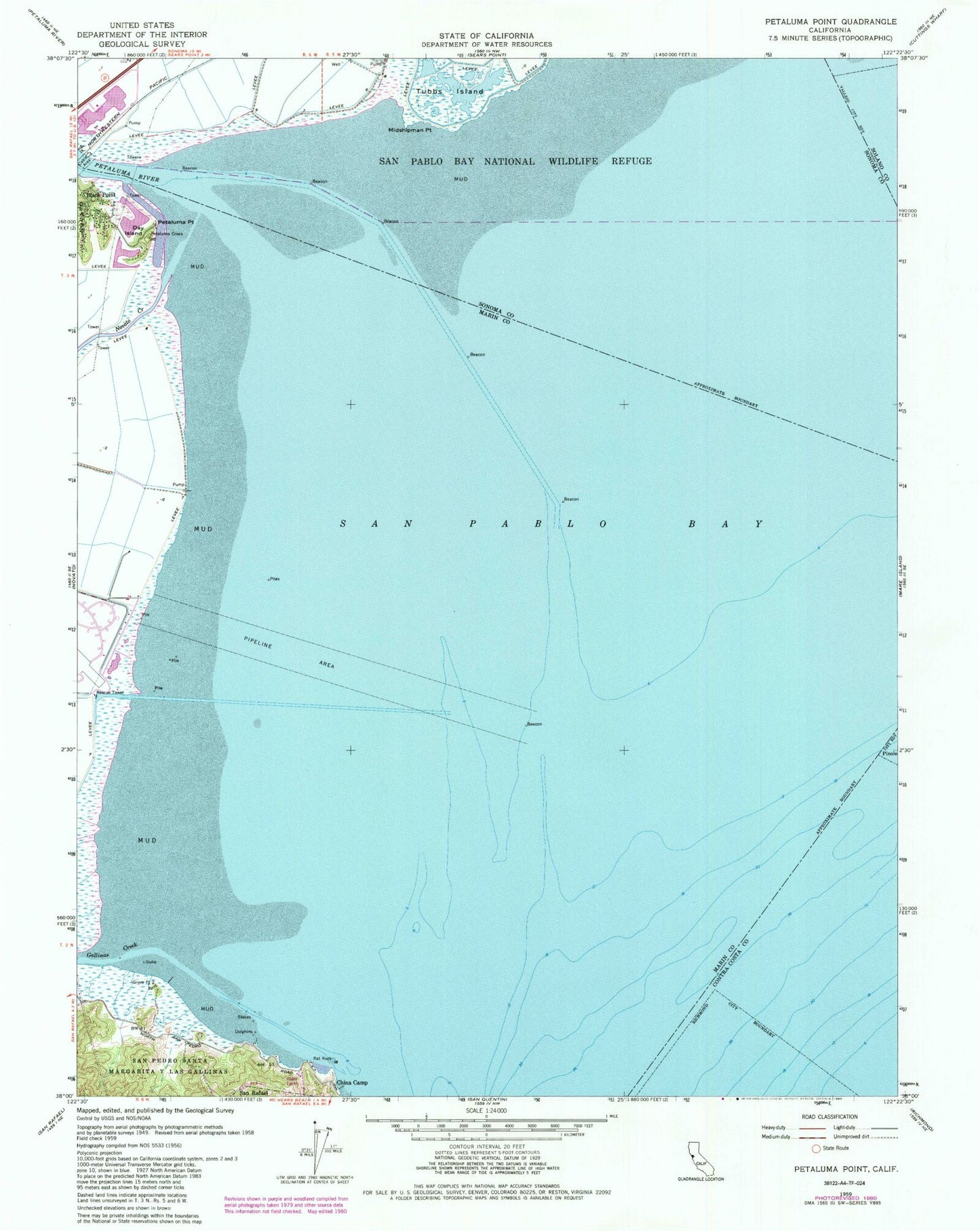
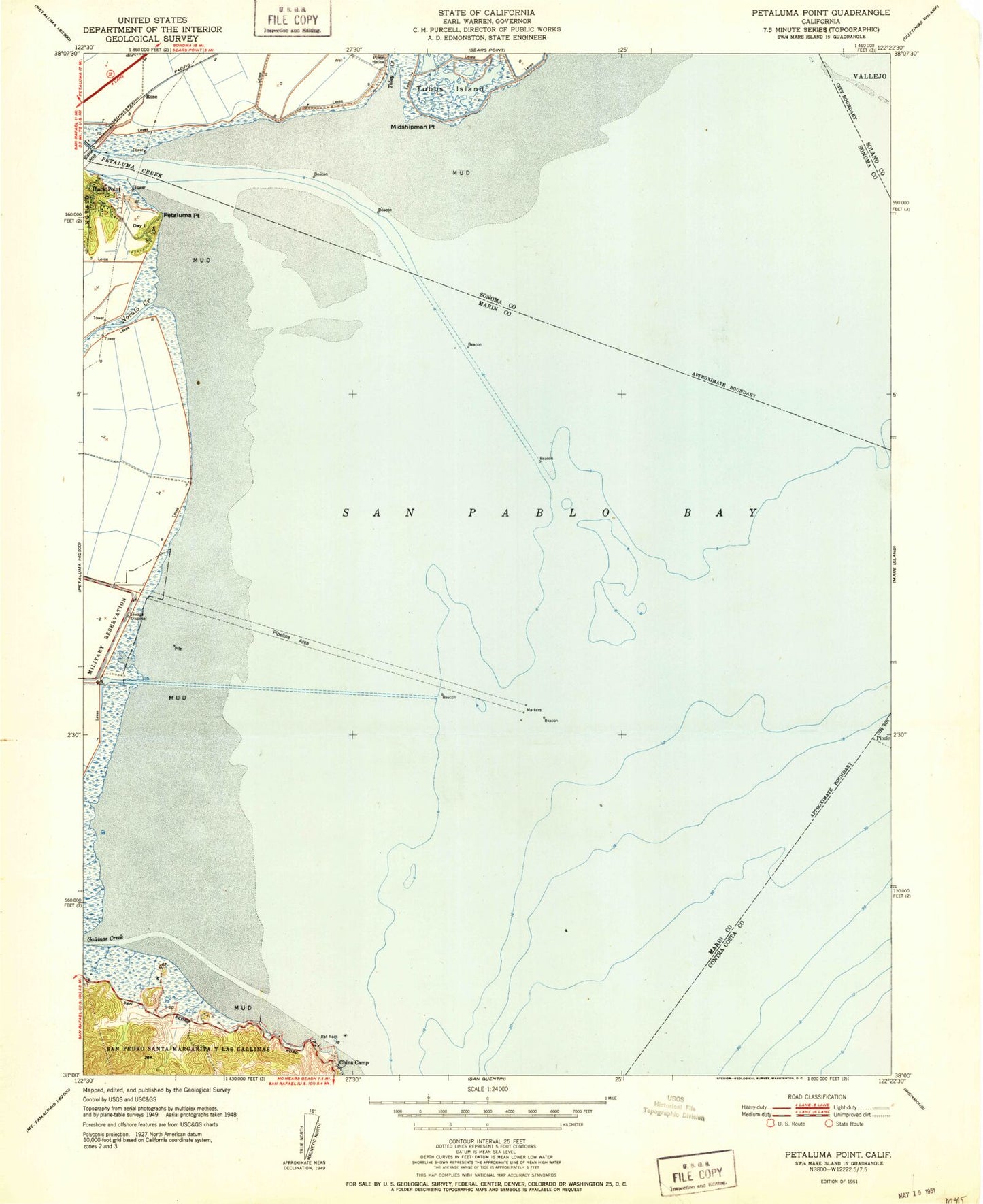
Classic USGS Petaluma Point California 7.5'x7.5' Topo Map
Couldn't load pickup availability
Historical USGS topographic quad map of Petaluma Point in the state of California. Map scale may vary for some years, but is generally around 1:24,000. Print size is approximately 24" x 27"
This quadrangle is in the following counties: Contra Costa, Marin, Solano, Sonoma.
The map contains contour lines, roads, rivers, towns, and lakes. Printed on high-quality waterproof paper with UV fade-resistant inks, and shipped rolled.
Contains the following named places: Back Ranch Meadows, Back Ranch Meadows Campground, Back Ranch Meadows Fire Trail, Buckeye Point, Buckeye Point Picnic Area, Bullet Hill, Bullhead Flat, Chicken Coop Hill, China Camp, China Camp Historic Area, China Camp Point, China Camp Point Picnic Area, China Camp State Park, Day Island, Five Pine Point, Gallinas Creek, Jakes Island, Jakes Island Trail, Midshipman Point, Miller Creek, Miwok Fire Trail, Miwok Meadows, Novato Creek, Petaluma Point, Petaluma River, Pickleweed Marsh Trail, Port Sonoma Marina, Rat Rock, Rat Rock Cove, Ridge Fire Trail, Rose, San Pablo Bay, San Rafael Division, Shoreline Trail, Tolay Creek, Turtle Back, Weber Point, Weber Point Picnic Area