MyTopo
Classic USGS Peter Long Lake Nebraska 7.5'x7.5' Topo Map
Regular price
$16.95
Regular price
Sale price
$16.95
Unit price
per
Couldn't load pickup availability
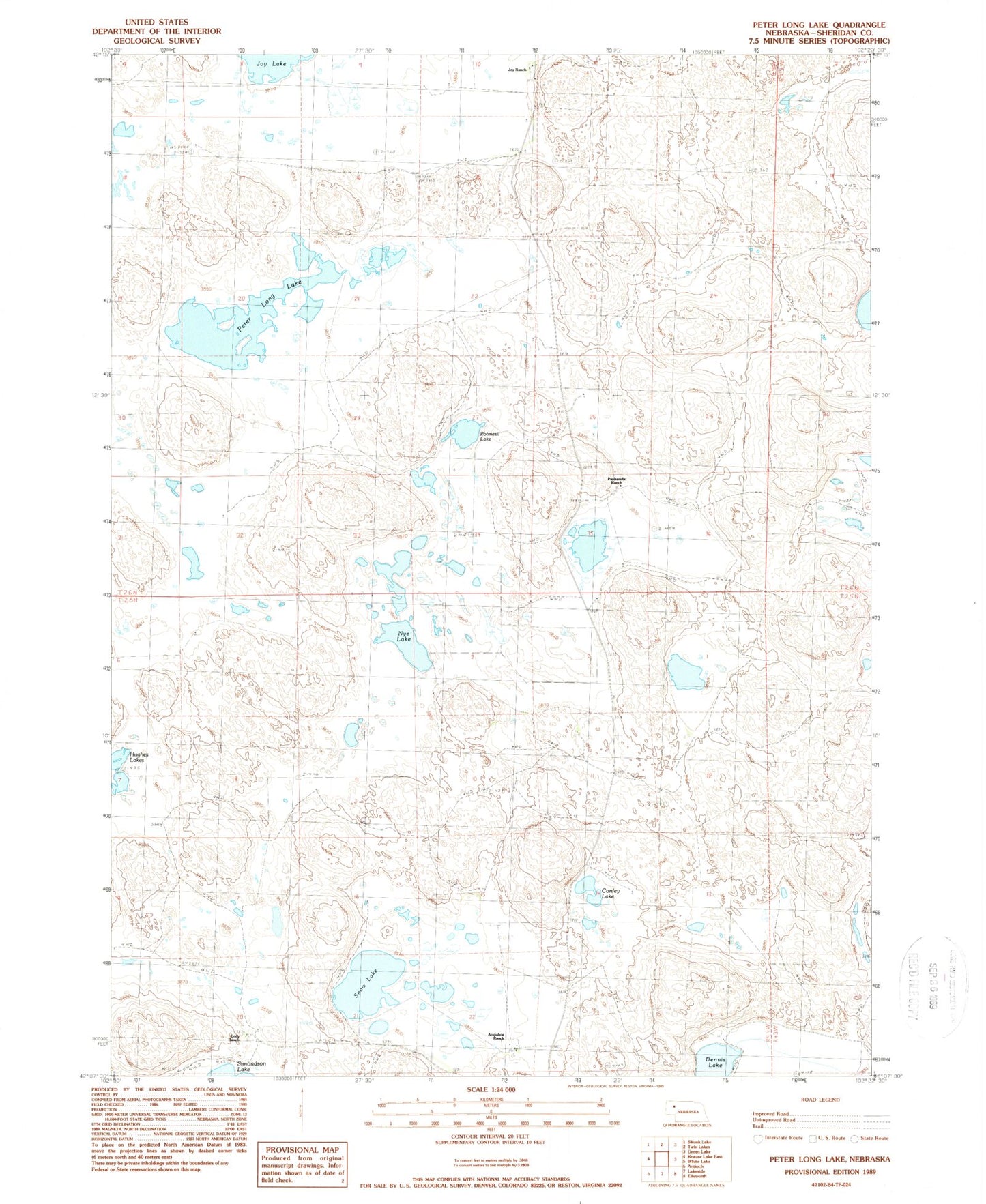
Historical USGS topographic quad map of Peter Long Lake in the state of Nebraska. Map scale may vary for some years, but is generally around 1:24,000. Print size is approximately 24" x 27"
This quadrangle is in the following counties: Sheridan.
The map contains contour lines, roads, rivers, towns, and lakes. Printed on high-quality waterproof paper with UV fade-resistant inks, and shipped rolled.
Contains the following named places: Arapahoe Ranch, Cody Ranch, Conley Lake, Dennis Lake, Hughes Lakes, John Cody Ranch, Joy Ranch, Nye Lake, Panhandle Ranch, Peter Long Lake, Potmesil Lake, Snow Lake