MyTopo
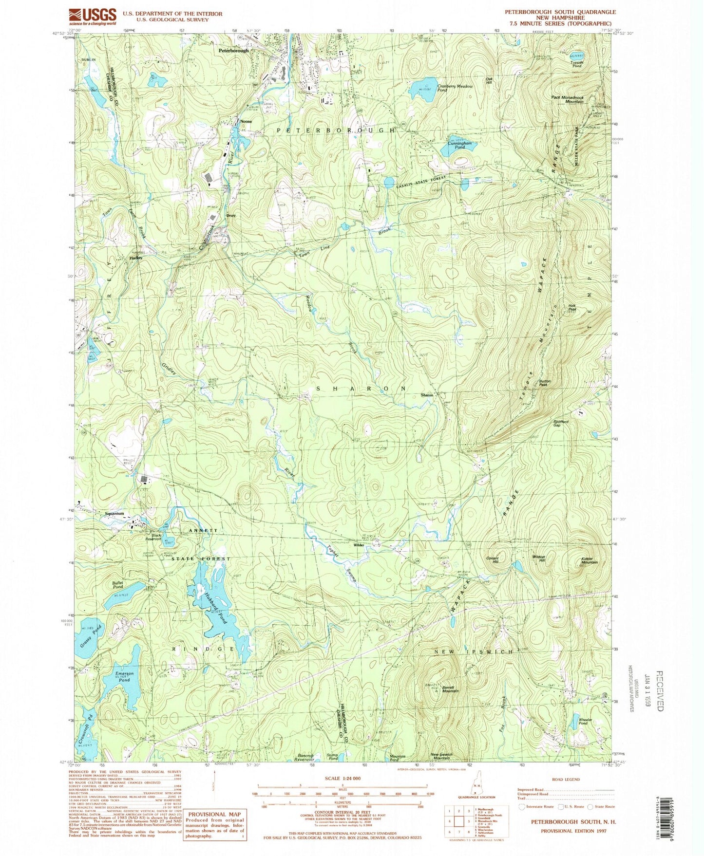
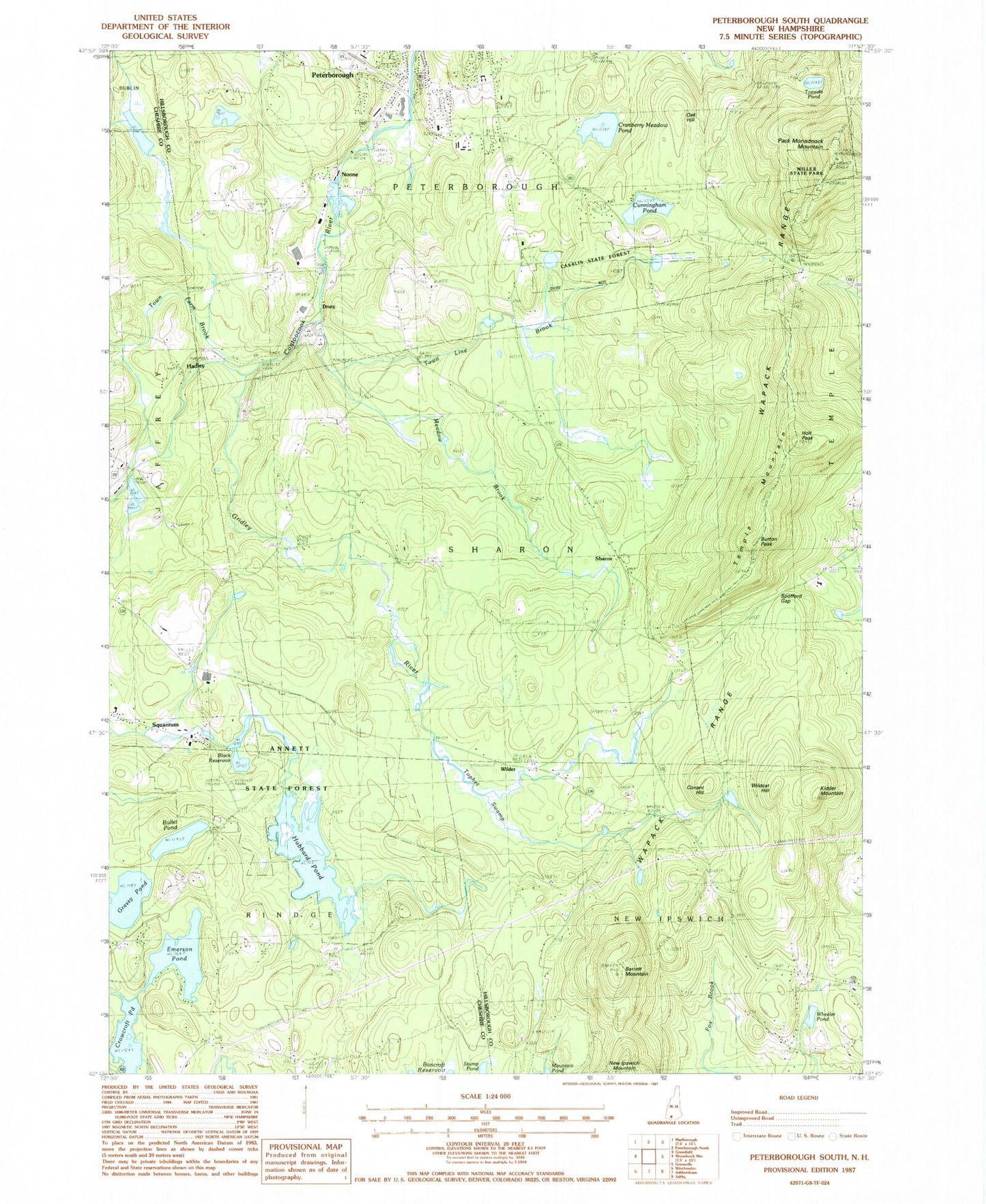
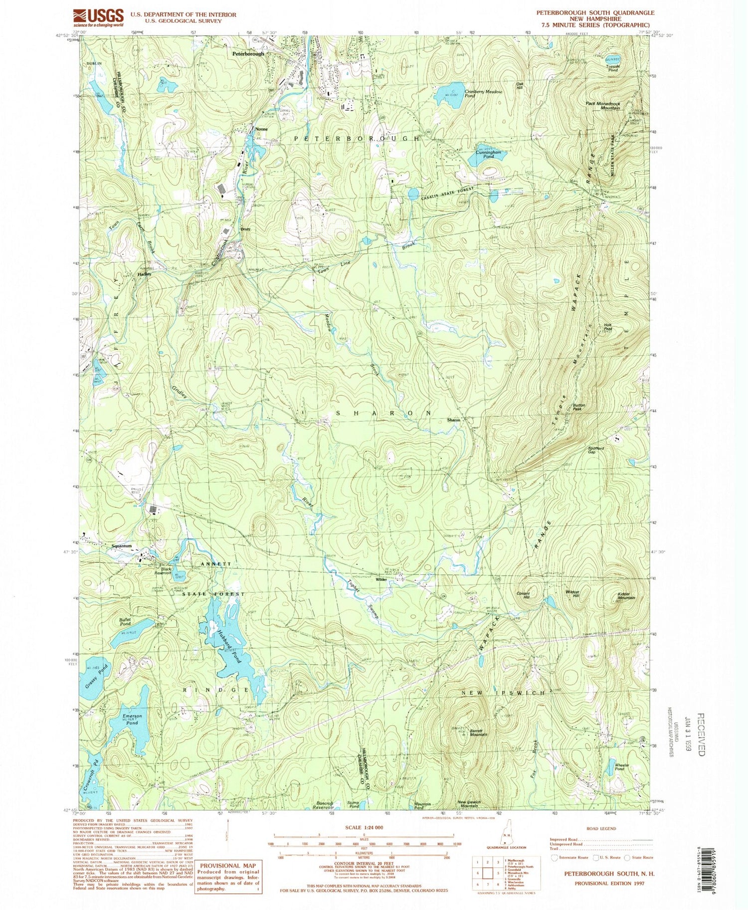
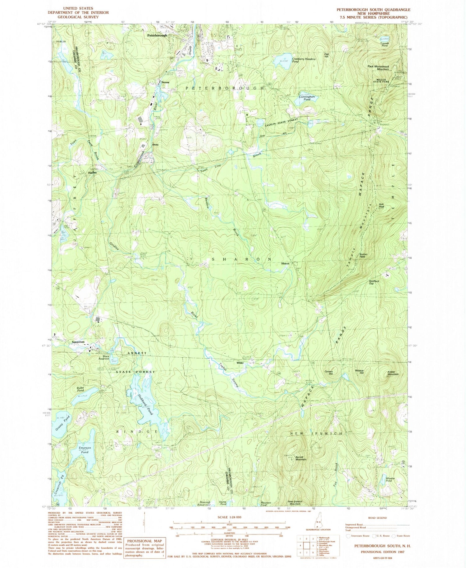
Classic USGS Peterborough South New Hampshire 7.5'x7.5' Topo Map
Couldn't load pickup availability
Historical USGS topographic quad map of Peterborough South in the state of New Hampshire. Typical map scale is 1:24,000, but may vary for certain years, if available. Print size: 24" x 27"
This quadrangle is in the following counties: Cheshire, Hillsborough.
The map contains contour lines, roads, rivers, towns, and lakes. Printed on high-quality waterproof paper with UV fade-resistant inks, and shipped rolled.
Contains the following named places: Annett State Reservation, Barrett Mountain, Black Reservoir, Bullet Pond, Burton Peak, Camp Quinapoxet, Cathedral of the Pines, Conant Hill, Cranberry Meadow Pond, Cunningham Pond, Emerson Pond, Grassy Pond, Gridley River, Hadley, Holt Peak, Hubbard Pond, Jarmany Hill Cemetery, Kidder Mountain, Meadow Brook, Miller State Park, Noone, North Cemetery, Oak Hill, Pack Monadnock Mountain, Peterborough, Sharon, Spofford Gap, Squantum, Temple Mountain, Tophet Swamp, Topside Pond, Town Farm Brook, Town Line Brook, Wapack Trail, Wheeler Pond, Wildcat Hill, Drury, Wilder, Millipore Heliport, WRPT-AM (Peterborough), WMDK-FM (Peterborough), Town of Sharon, Hubbard Pond Dam, Black Reservoir Lower Dam, Crowcroft Pond Dam, Crowcroft Pond, Noone Mills Dam, Contoocook River Reservoir, Black Reservoir Upper Dam, Black Reservoir, Jaffrey Wastewater Treatment Plant Dam, Jaffrey Wastewater Lagoons, Casalis Marsh Wildlife Area, Greater Peterborough Chamber of Commerce, Monadnock Area Cooperative School, Petersborough Shopping Plaza Shopping Center, Sharon Arts Center, Temple Mountain Ski Area, Windblown Ski Touring Center, Fosket Wildlife Refuge, Peterborough Police Department, MacLaurin Family Cemetery


