MyTopo
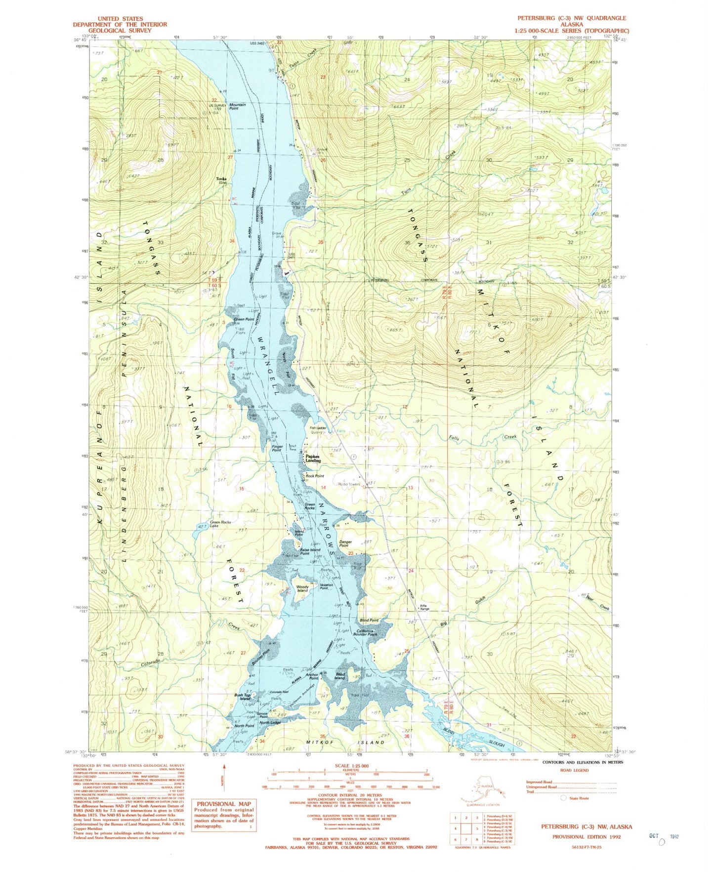
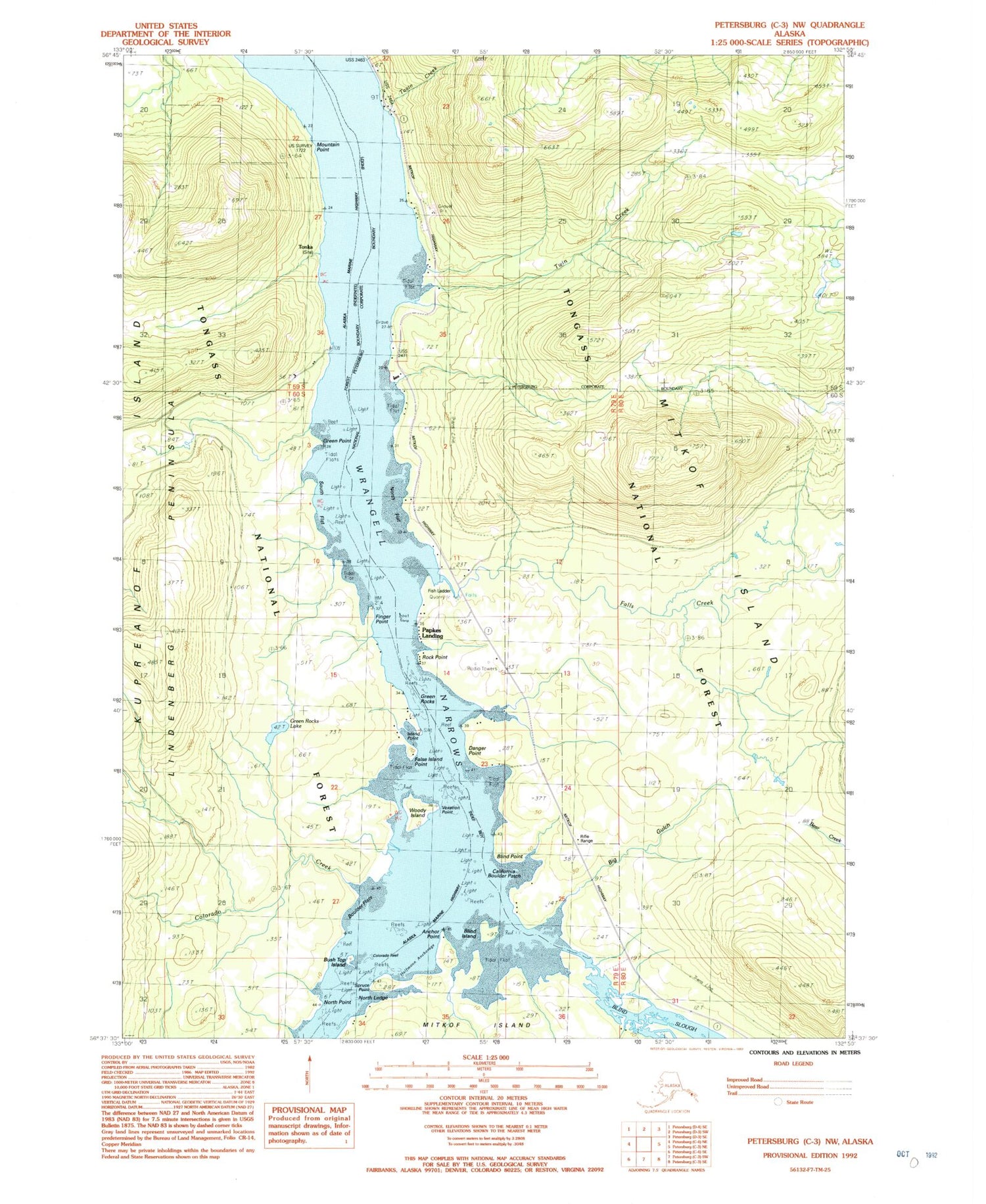
Classic USGS Petersburg C-3 NW Alaska 7.5'x7.5' Topo Map
Couldn't load pickup availability
Historical USGS topographic quad map of Petersburg C-3 NW in the state of Alaska. Typical map scale is 1:24,000, but may vary for certain years, if available. Print size: 24" x 27"
This quadrangle is in the following counties: Petersburg Borough.
The map contains contour lines, roads, rivers, towns, and lakes. Printed on high-quality waterproof paper with UV fade-resistant inks, and shipped rolled.
Contains the following named places: South Flat, Spruce Point, Taain Creek, Tonka (historical), Twin Creek, Vexation Point, Woody Island, Wrangell Narrows, KRSA-AM (Petersburg), Anchor Point, Big Gulch, Blind Island, Blind Island Campground, Blind Point, Boulder Flats, Bush Top Island, California Boulder Patch, Colorado Creek, Colorado Reef, Danger Point, Falls Creek, False Island Point, Finger Point, Green Point, Green Rocks Lake, Green Rocks Light, Halfmoon Anchorage, Island Point, Mountain Point, North Flat, North Ledge, North Point, Papkes Landing, Rock Point, Big Bowlder, Green Rocks


