MyTopo
Classic USGS Petersburg C-3 SW Alaska 7.5'x7.5' Topo Map
Couldn't load pickup availability
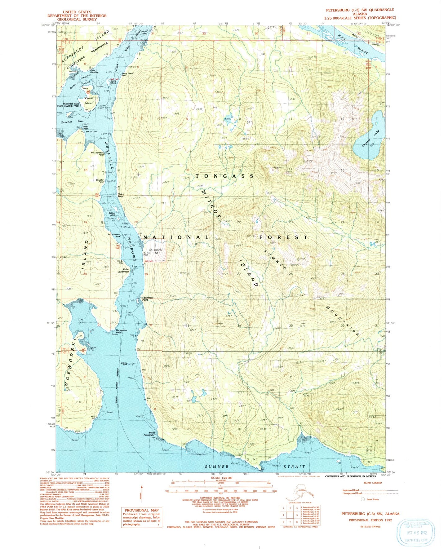
Historical USGS topographic quad map of Petersburg C-3 SW in the state of Alaska. Map scale may vary for some years, but is generally around 1:24,000. Print size is approximately 24" x 27"
This quadrangle is in the following counties: Petersburg Borough.
The map contains contour lines, roads, rivers, towns, and lakes. Printed on high-quality waterproof paper with UV fade-resistant inks, and shipped rolled.
Contains the following named places: Bare Islet, Battery Islets, Blind Slough, Boulder Point, Burnt Island, Burnt Island Reef, Coply Reef, Crystal Lake, December Point, Deception Point, Hicks Point, Inlet Point, Keene Channel, Keene Island, Midway Rock, No Thorofare Point, Point Alexander, Point Humbug, Point Lockwood, Point Lockwood Rock, South Ledge, Spike Rock, Spirit Creek, Sumner Mountains