MyTopo
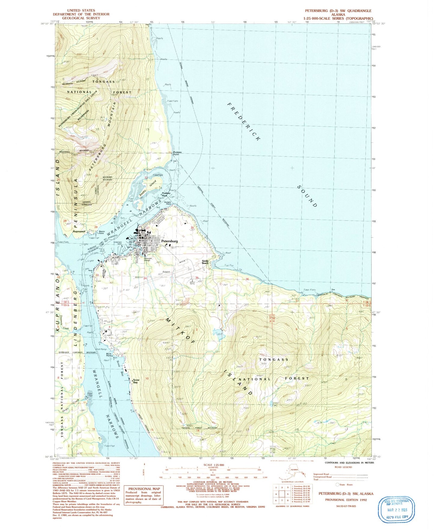
Classic USGS Petersburg D-3 SW Alaska 7.5'x7.5' Topo Map
Couldn't load pickup availability
Historical USGS topographic quad map of Petersburg D-3 SW in the state of Alaska. Map scale may vary for some years, but is generally around 1:24,000. Print size is approximately 24" x 27"
This quadrangle is in the following counties: Petersburg Borough.
The map contains contour lines, roads, rivers, towns, and lakes. Printed on high-quality waterproof paper with UV fade-resistant inks, and shipped rolled.
Contains the following named places: Alaska State Troopers Petersburg, Bayou Point, Blunt Point, Chatham Seafood Pier, City of Kupreanof, City of Petersburg, Doyhof, KFSK-FM (Petersburg), Kupreanof, Kupreanof Fire Department, Lloyd R. Roundtree Seaplane Facility, Long Pond, Narrows Peak, Petersburg, Petersburg Alaska Native Village Statistical Area, Petersburg Bar Range, Petersburg Census Designated Place, Petersburg Creek, Petersburg Dam, Petersburg Fisheries Pier, Petersburg James A Johnson Airport, Petersburg Lower Reservoir, Petersburg Lower Reservoir Dam, Petersburg Medical Center, Petersburg Memorial Cemetery, Petersburg Mountain, Petersburg Police Department, Petersburg Post Office, Petersburg Public Health Center - Southeast Region, Petersburg Reservoir, Petersburg Seaplane Base, Petersburg Volunteer Fire Department, Petersburg Volunteer Fire Department Station 2, Prolewy Point, Prolewy Rocks, Sandy Beach Recreation Area, Sasby Island, Scow Bay, Survey Mountains, Turn Point, White Pass City Dock