MyTopo
Classic USGS Petersburg East West Virginia 7.5'x7.5' Topo Map
Couldn't load pickup availability
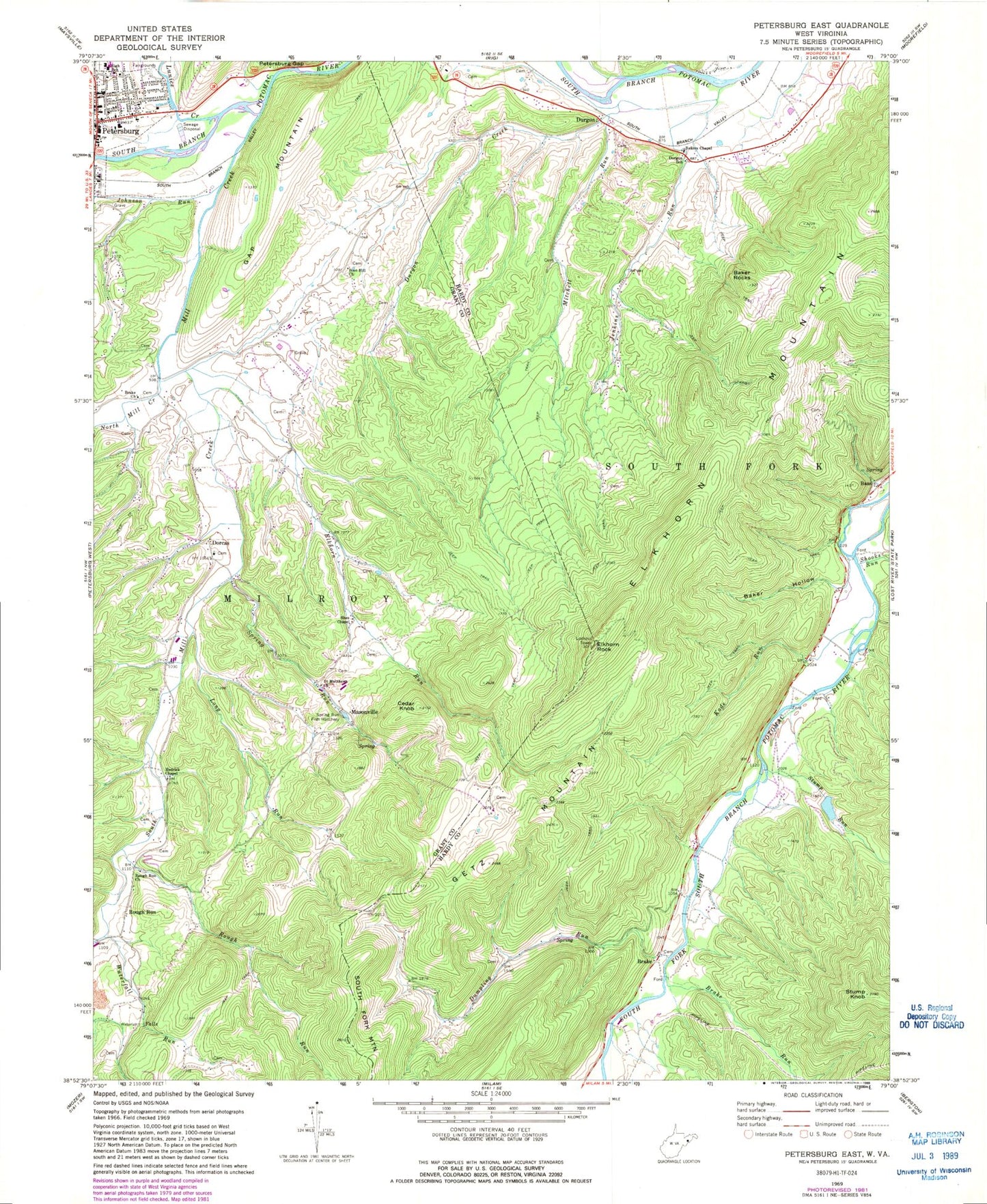
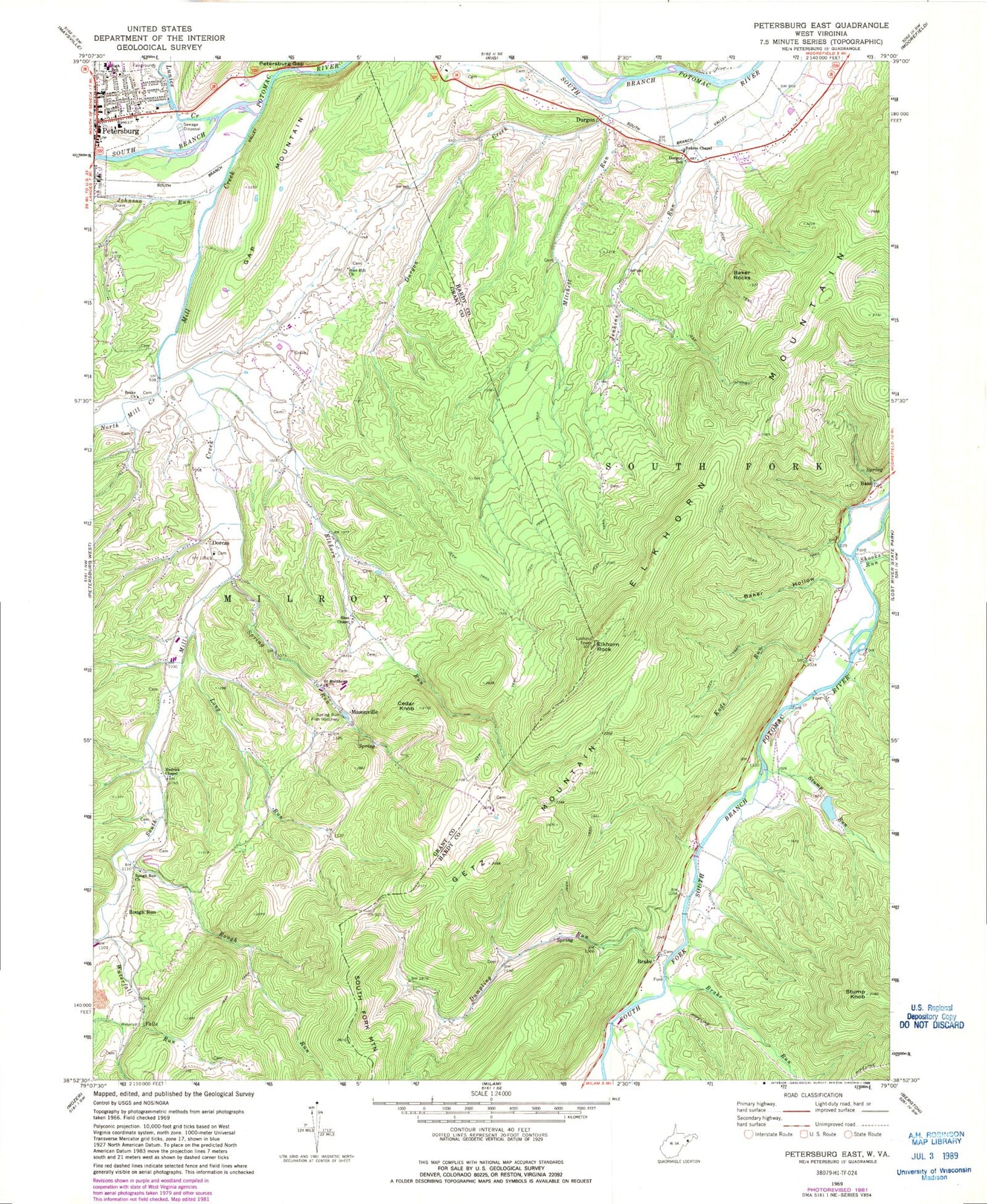
Historical USGS topographic quad map of Petersburg East in the state of West Virginia. Map scale may vary for some years, but is generally around 1:24,000. Print size is approximately 24" x 27"
This quadrangle is in the following counties: Grant, Hardy.
The map contains contour lines, roads, rivers, towns, and lakes. Printed on high-quality waterproof paper with UV fade-resistant inks, and shipped rolled.
Contains the following named places: Baker Hollow, Baker Rocks, Baker Spring, Baker's Chapel United Methodist Church, Bass, Big Spring, Bluerock School, Boot Hill Church, Brake, Brake Church, Brake Run, Brake School, Cedar Knob, Coby Spring, Cornstalk Spring, Crites School, Devin Lee Alt Memorial Bridge, Dorcas, Dorcas Elementary School, Dorcas Post Office, Dumpling Run Spring, Dumpling Spring Run, Durgon, Durgon Creek, Durgon School, Elkhorn Lookout Tower, Elkhorn Mountain, Elkhorn Rock, Elkhorn Run, Gap Mountain, Getz Mountain, Getz School, Gods Way Christian School, Grant County Convention and Visitors Bureau, Grant County Courthouse, Grant County Sheriff's Office, Gum Hollow, Hedrick Chapel, Hiser, Jenkins Run, Johnson Run, Kade Run, Ketterman School, Little Turtle Spring, Long Run, Lunice Creek, Masonville, Mill Creek, Mitchell Run, North Mill Creek, North South Mill Creek Number Four Dam, Petersburg, Petersburg Bridge, Petersburg High School, Petersburg Volunteer Fire Department, Potter's House Christian School, Red Jacket Spring, Rough Run, Rough Run Church, Saint Matthews, Shooks Run, Sites Chapel, South Fork District, South Fork Structure Two Dam, South Mill Creek, Spring Run, Spring Run Fish Hatchery, Stump Knob, Stump Run, Waterfall Run, WELD-FM (Petersburg), West Virginia State Police Troop 2 - Moorefield Detachment, White Cloud Spring


